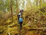
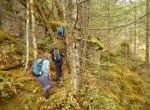
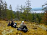
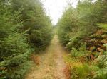
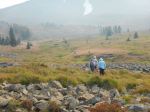
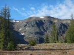
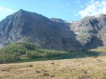
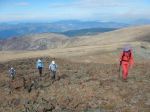
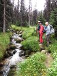
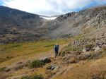
Eight of us and a dog set out on a beautiful, crystal clear fall day to visit Douglas and McKenzie Lakes on the Forbidden Plateau in Strathcona Park. The short way to get there involves an half hour, 6.3 km drive on a rough old logging road. We made it and then walked 700 m into the park on a rough but easy trail through old growth trees and blueberries.
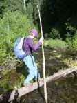
At this point it is necessary to cross the outlet stream from McKenzie Lake. It turned out that the Lake level was a few inches higher than expected and the puddle jumping rocks were under water. At this obstacle, five people and the dog decided to go up to Paradise Meadows, leaving three to continue to the Lakes as planned.
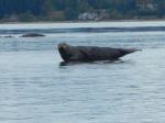
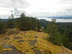
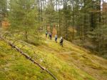
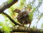
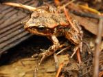
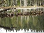
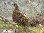
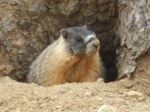
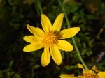
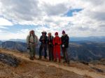
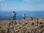
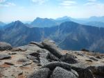
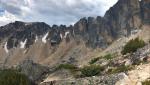
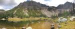
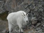
Having found a dry way across the creek using rocks and logs, we arrived at the sunny side of the stream, the path was found and the lakes were beautiful, the meadows were beautiful and the weather was beautiful. So after lunch at McKenzie Lake, we explored the trail towards the main area of Paradise Meadows via Kwai and other Lakes. The trail gains some elevation, follows a sequence of small lakes and was in unexpectedly good condition. Now we want to come back and do the whole trail from Raven Lodge to the old ski area beyond Mt. Becher. We saw a Western Toad, maybe a toadlet, grouse and a glimpse of sandhill cranes migrating south. 11.8 km, 5¼ hours.
The alternate group hiked the Battleship Lake – Helen MacKenzie Lake loop and said it was great.
Norris
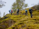
Reporting from Paradise Meadows and beyond – On a perfect fall day, we began with the intent of hiking to Douglas and MacKenzie Lakes, and enjoyed the drive and short hike in. Then, deciding to eschew the fun of wading across the high water in the creek in our bare feet, five of us, and one dog, decided to walk in Paradise Meadows instead. We had a lovely, brisk walk around the Battleship Loop with a brief lunch stop in the Meadows, alive with the vibrant fall colours. The views across the lakes were astounding. We enjoyed chatting with some of the overseas visitors we met on our perambulation. 10.5 km
Valerie
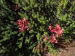
(click on photos to view larger)
-
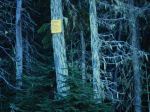
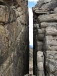
- Strathcona Park boundary
-
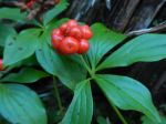
- Bunchberry
-
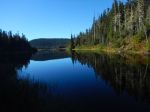
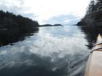
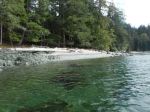
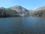
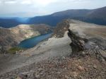
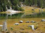
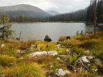
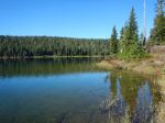
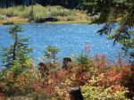
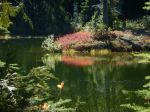
- McKenzie Lake
-

- The pesky creek crossing
-

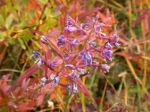
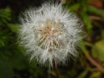
- Blueberry
-
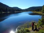
- McKenzie Lake

-
- Douglas Lake
-
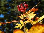
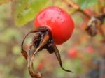
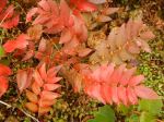
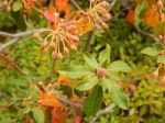
- Mountain Ash berries
-
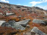
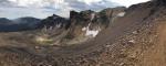
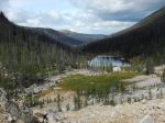
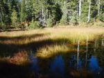
- McKenzie Meadows
-
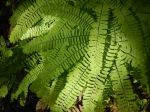
- Maidenhair fern
-

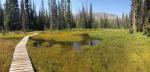
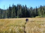
- The trail to Kwai Lake
-
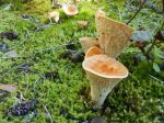
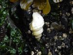
- Scaly Vase Chanterelle
-
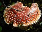
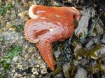
- Amanita mushroom
-
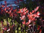
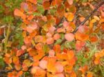
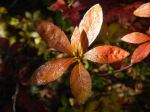
- Blueberry leaves
-
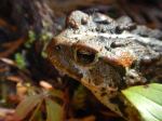
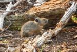
- Western Toad
-

- McKenzie Meadows
-
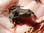
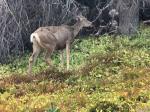
- Toadlet?
-
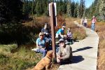
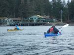
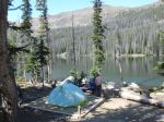
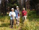
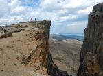
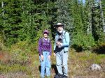
- Lunch at Paradise Meadows
-
- Colours at Paradise Meadows