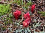
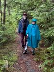
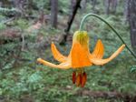
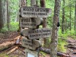
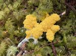
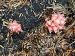
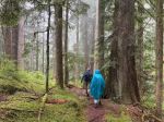
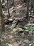
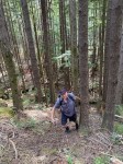
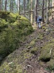
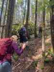
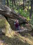
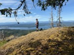
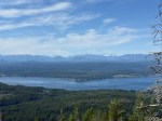
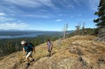
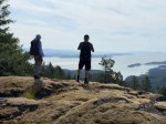
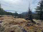
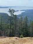
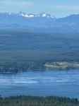
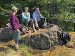
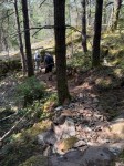
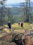
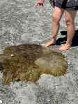
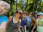
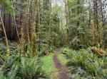
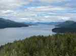
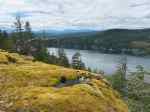
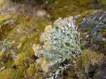
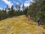
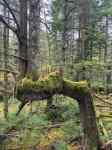
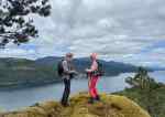
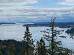
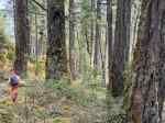
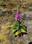
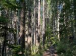
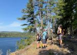
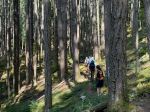
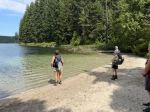
Seven of us got an early start to get ahead of the heat that was forecast. We hiked into the Lake on the classic old logging road, meeting a few other people on the trail and at the east end sandy beaches. We continued up the switch-backed trail to the bluffs and paused to enjoy the view and indentify the mountains. We made our way back down to the lake and stopped at the picnic table for an early lunch and for those that wanted to swim. The water level was low and the water was relatively warm. We carried on along the fast trail on the west shore, stopping at the old logging access point with the canoe and stopping again at the white sand beach at the south end of the lake. There was no one on any of these beaches, which was surprising given the heat. We continued on the classic loop, rejoining the old logging road and then chosing to take Lower Deadfish for the return to the parking lot. By the end of our hike it was fairly overcast, warm and humid. This was a lovely, relaxed walk with great natural highlights and opportunities for socializing. (10.3 km, 4½ hours total, 290m elevation gain)
Debbie
(click on photos to enlarge)
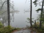
-

- Little Morte Lake
-
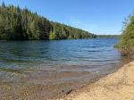
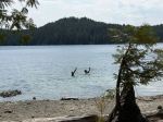
- East end beach
-

- From the bluff
-
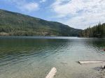
- South beach