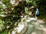
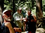
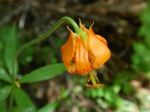
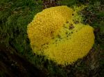
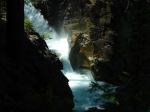
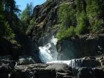
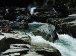
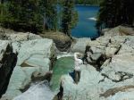
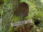
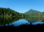
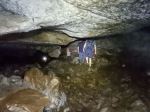
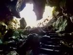
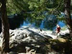
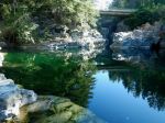
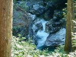
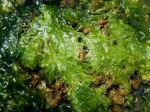
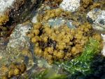
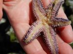
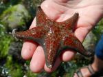
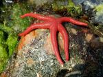
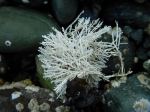
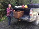
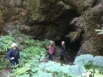
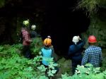
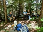
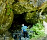
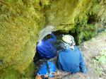
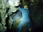
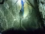
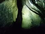
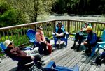
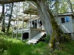
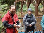
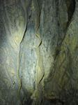
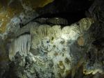
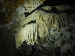
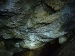
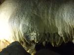
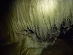
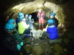
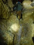
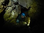
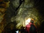
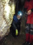
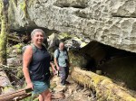
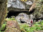
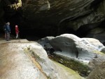
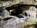
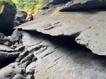
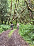
Five campers moved the trip dates forward one day due to rain forecast. This turned out to work very well as we only had showers one day and in the nighttime. We were going to camp at Woss Lake, but decided to check out Klaklakama Lake on the way and were very fortunate in getting the first place we stopped. After setting up camps, we had lunch and then proceeded to the Little Huson Caves. Atluck Creek has carved many sculpted images in complex shapes while running through Quatsino limestone. We first took a short walk and descended down the steep stairs to look at the River Cave from the north. The rocks were very slippery from the rain so we were not able to go below the platform and look into the cave. We then took the trail back up to the south opening where you could get down and look through the cave the opposite way. There are many places to explore here along the creek with beautifully shaped limestone. We also visited the Bridge Cave and then walked to Little Huson Lake. We then proceeded back to the campsite to have dinner and visit around the campfire.
(click on photos to view larger)
-
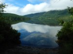
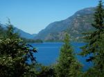
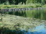
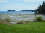
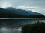
- Klaklakama Lake
-
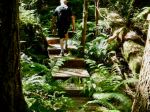
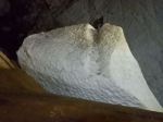
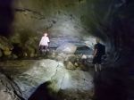
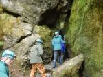
- Stairs at Little Huson Caves
-
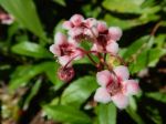
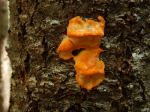
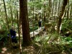
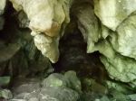
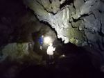
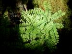
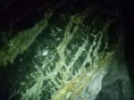
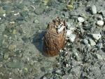
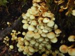
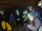
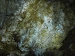
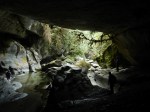
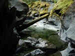
- Near Fern Cave
-
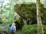
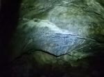
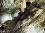
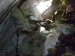
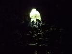
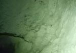
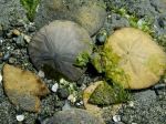
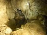
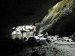
- River Cave

-
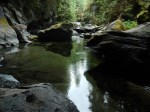
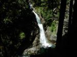
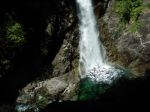
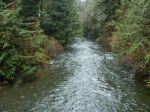
- Atluck Creek
-
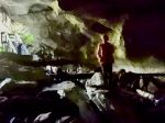
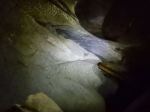
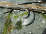
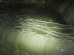
- Bridge Cave
-
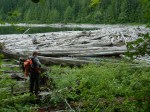
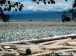
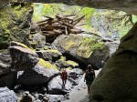
- Log jam at Huson Lake
-
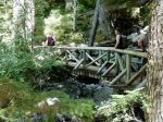
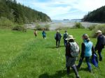
- Road to Little Huson Lake
-
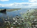
- Little Huson Lake
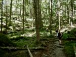
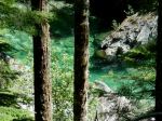
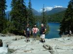
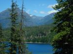
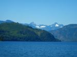
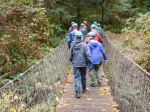
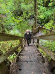
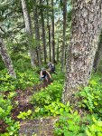
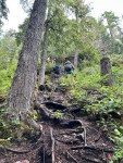
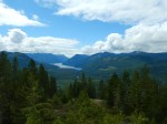
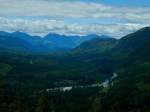
The next morning, we had a communal breakfast with blueberry pancakes, bacon, and devilled eggs. What a great way to start the day and fuel up for the hard hike up to Woss Lookout. From the parking area, we walked up the old logging road that is steep and has many loose rocks to the trailhead. This is a short steep hike with many ropes to help you up and over the rocks and roots. It was definitely a challenge to navigate up and even worse, coming back down due to the slick roots and rocks. At the summit, we enjoyed excellent views from the old restored lookout tower. You’re able to look up five different valleys from the top so you can see why this was such a good place for a fire tower. After descending, we drove back to camp to have another quiet evening by the lake. (4.4 km, 3 hours, 375 m elevation gain, 35% in incline in the steep section)
-
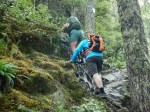
- Steep up
-
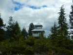
- Woss Fire Lookout

-
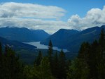
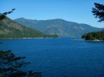
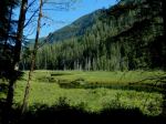
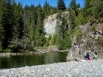
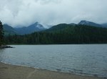
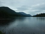
- Woss Lake
-
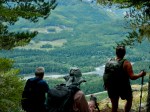
- View of Nimpkish River
-
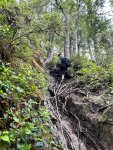
- Steeper down
-
- View north
-
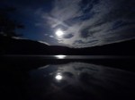
- Full moon overnight
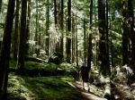
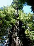
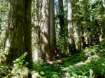
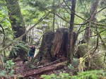
Before heading home the next day, we visited the Upper Klaklakama rec site and walked the short nature loop with many fine old growth trees and some unusual trees like Pacific Yew and Amabilis fir.
-

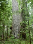
- Western Red Cedar
-
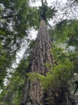
- Douglas fir
-
- Klaklakama Lake
-
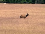
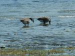
- Roosevelt Elk near Sayward
Les
Thanks to Les, Jim and Norris for the photos