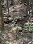
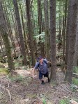
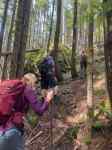
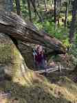
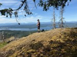
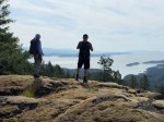
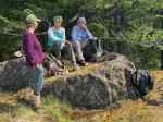
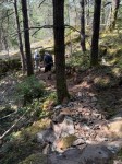
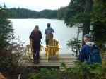
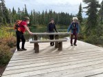
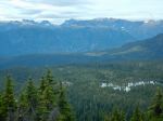
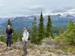
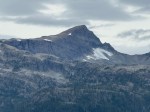
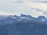
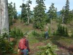
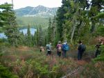
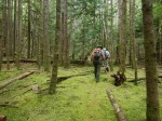
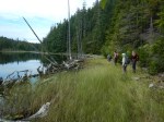
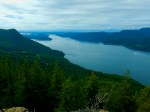
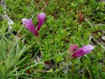
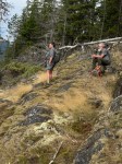
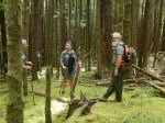
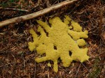
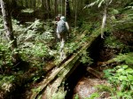
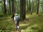
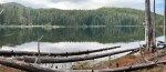
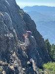
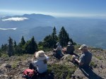
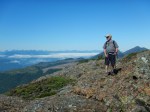
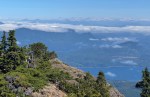
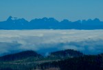
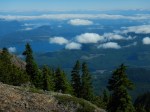
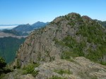
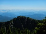
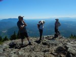
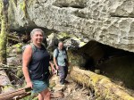
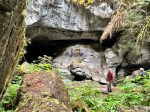
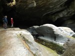
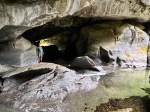
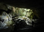
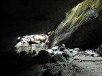
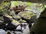
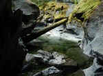
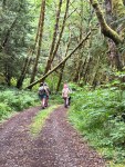
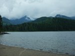
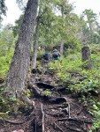
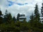
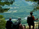
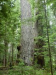
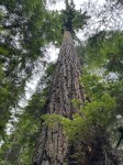
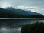
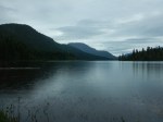
Five of us did this particular hike as a first for the Outdoor Club. After a car shuffle, we started hiking from the Nugedzi parking lot, up the old road and across the bridge. We continued on the old logging road heading south, which has recently been cleared of deadfall and brush. Not long into our hike we noticed a wasp’s nest which had fallen into the path and had fallen apart. Although we saw that there were some wasps flying about, we were not careful enough crossing by the nest and unfortunately three of us were stung, one person multiple times. After a bit of first aid, we carried on up the old road and then on a very improved trail through the forest and across the re-located bridge. From there we followed a flagged route and slight path over to the Noel’s Knoll viewpoint. After enjoying a short break, with view, breeze and snack, we returned on this short out-and-back section to rejoin the new trail which descends steeply to the Morte Lake trail.
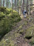
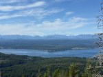
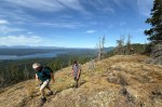
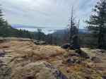
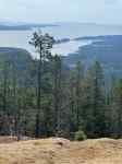
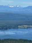
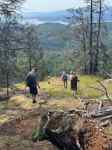
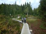
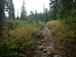
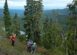
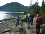
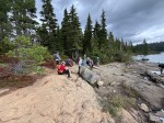
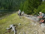
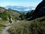
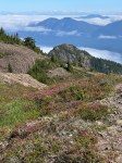
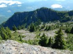
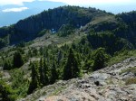
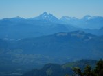
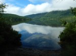
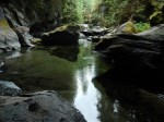
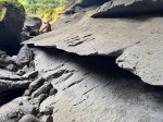
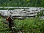
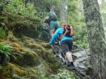
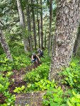
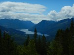
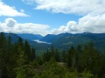
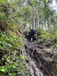
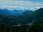
The new trail is quite a long descent, with some good views from bluffs along the way. Most of the route is fairly easy to follow with visible path, flagging and cairns. There was one place where we followed some flags the lead into the bush rather than a path, but we were soon back on track and down to the main Morte Lake trail. We followed the lovely Deadfish route back to the Morte Lake parking lot. Thanks to all the volunteers who made this new trail possible.
7.5km, 4½ hours, about 350m ascent and 490m descent.
(click on photos to enlarge)
Thanks to Carrie and Les for the photos