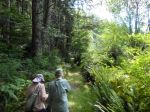
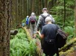
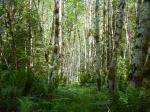
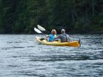
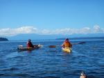
Day 1: Caught the 9:05 am ferry to Cortes Island. Launched from Whaletown Bay and kayaked over to Shark Spit. It was low tide on arrival and a bit of a haul with our camping and kayaking equipment. We had big tidal ranges during this trip. Set up camp and left for a kayak trip around Marina Island. A number of old growth trees on the shoreline, this island was logged about 20 years ago. Discovered an interesting house on the west side of Marina, it was balancing on the edge of a sand cliff. It took us 3 hours to paddle around. (approx 14 km.) All enjoyed dinner and decided on an early retirement.
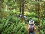
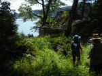
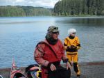
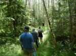
Day 2: Breakfast and set-off kayaking, hugging the shoreline, destination Manson’s Lagoon. Stopped to look at the petroglyphs on the entrance to Gorge Harbour. Paddled onto Manson’s Lagoon, arriving at low tide which gave us an interesting shell-filled lagoon. It was hot and we ate lunch under the trees. Walked through the avenue of arbutus trees and celebrated their beauty. Walked along the beach to the wonderful newly carved totem pole with bench. Off again hugging the shoreline, stopping to explore a pioneer’s hut with huge oyster beds just below the hut. The wind got up giving us a bit of a challenge. Stopped off at Gilean Douglas’s house at Channel Rock, to have a quick look. (approx 10 km) After dinner, walked along the inside shoreline discovering wolf tracks. Dinner and welcomed the arrival of two more members on a windy evening.
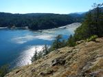
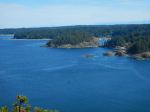
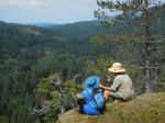
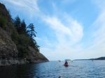
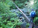
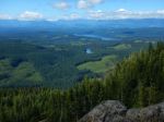
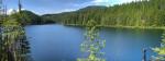
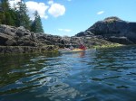
Day 3: Breakfast and ready for another paddle. A bit windy at the start of this day. A member was leaving and we all paddled to Whaletown Bay, assisting with unpacking and putting the kayak on vehicle. Four of us then paddled through Plunger Passage, into the beautiful scenery of Sutil Channel and found a landing spot to eat lunch. Paddled onto Carrington Bay which is one of our favourite places. Explored the bay and lagoon. Back into our kayaks and paddled through Coulter Bay. A good workout for us and stopped at Sea Vista for a break before heading onto the spit. We made it. ( 26.6 km; 7½ hours) Ate delicious clams at night.
Day 4: Breakfast, packed up our tents, everything into our kayaks and began paddling. The two latecomers paddled around Marina and two paddlers went to Whaletown Bay to catch the ferry for Quadra and home. Thank goodness we did not experience heavy rain on this trip, the weather was kind to us and the scenery magnificent. Shark Spit is such a beautiful camping area and a joy to be there.
Margot
Thanks to Norris and Vic for the photos
(click on photos to enlarge)
-

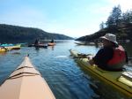
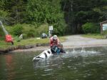
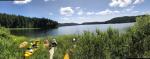
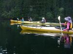
- Leaving Whaletown Bay
-

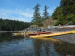
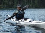
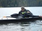
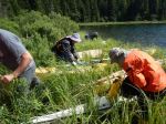
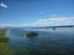
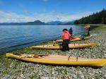
- Arriving at Shark Spit
-
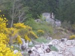
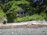
- Cabin on Marina Island
-
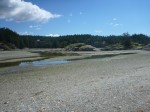
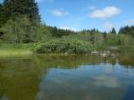
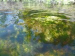
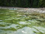
- Manson’s Lagoon at low tide
-
- Manson’s Landing
-
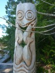
- Totem Pole at Manson’s Landing
-
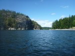
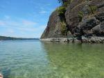
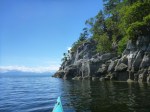
- The Gorge
-
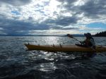
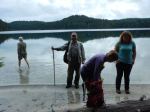
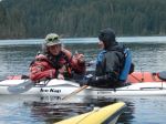
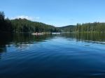
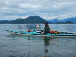
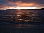
- Evening arrival
-
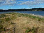
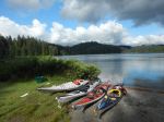
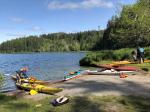
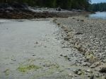
- Shark Spit
-
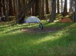
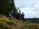
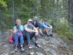
- Camping area
-
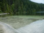
- The sandy spit
-
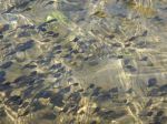
- inverted sea star

-
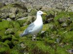
- Sea gull
-
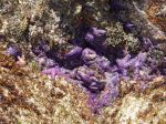
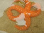
- Purple sea stars
-
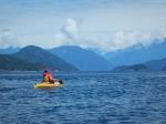
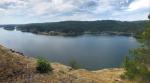
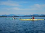
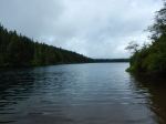
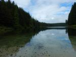
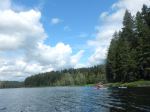
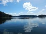
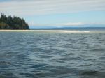
- Sutil Channel

-
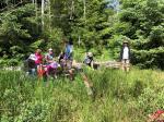
- Lunch stop
-
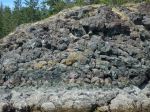
- Clam garden
-
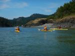
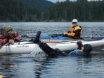
- Arriving at Carrington Bay
-
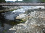
- Water rushing from the Lagoon
-
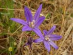
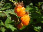
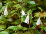
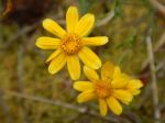
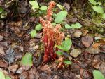
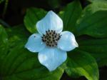
- Harvest brodiaea
-
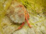
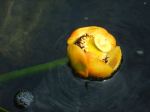
- Crab
-
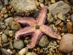
- Sea star
-
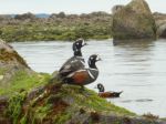
- Harlequin ducks