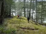
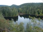
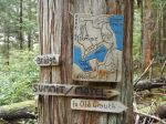
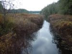
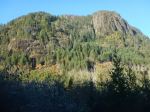
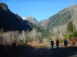
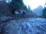
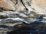
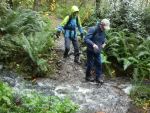
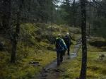
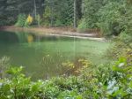
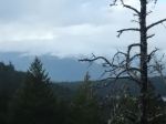
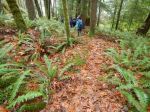
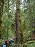
In damp, cloudy weather, eight hikers enjoyed our first “Hot Chocolate” hike of the season, perambulating the beautiful Shellaligan inland loop clockwise. We set off from the first parking lot from the turn off from Valdes Road, a good decision in retrospect as the logging road was blocked further on by downed trees from the previous day’s windstorm. The first part of this loop is on good logging roads, watch for signage for the turn-offs. Soon we turned right off a wide logging road, onto the trail, this turn easily missed so now marked with extra orange flagging tape. We followed this lovely, easy trail through a veritable sea of green, alongside a very full creek, to the shore. Here we admired the “neurotic sapsucker tree” and noted the collected marine debris awaiting pick-up. Soon reaching the trail sign a bit inland, we headed back on the “shortcut to parking lot” to the “middle” parking lot, turning right onto the logging road back to our cars. Just under 2 hours, good exercise, good company, home by the fire by early afternoon, a great first “Hot Chocolate” hike. 4.9 km; 1½ hours.
Thank you to Norris for the photos!
(click on photos to enlarge)


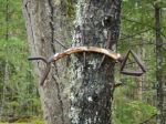
-
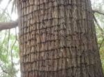
- Sapsucker holes in cedar tree
-
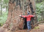
- Big-leafed maple grove


-

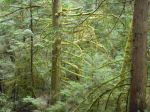
- Droplets on white pine needles
Hiking – Shellaligan Pass Loop – 18 Nov 2020