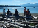
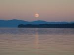
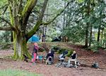
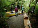
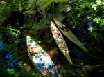
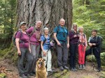
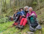
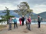
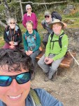
A few came early, but most of us arrived on Sunday when it was convenient and not in a rush. The eleven of us set up our campsites at Gordon Bay Provincial Park in a cluster near each other and the somewhat heated bathrooms. A luxury that we don’t normally expect. We gathered around Les’ campfire after dinner, but it was an early night.
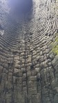
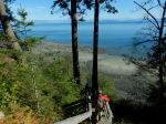
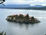
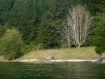
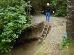
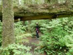
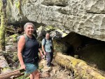
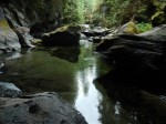
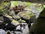
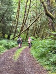
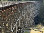
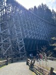
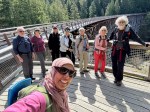
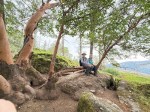
Monday – It was quite cold overnight especially for those who were tenting. Our first destination was a long drive, but a very short walk to the Kinsol Trestle. It is one of the largest wooden bridges in the world at 187 meters long and 44 meters high. Perhaps the most amazing thing is that it has been saved and restored. We had lunch by the shore of the Koksilah River and then walked upstream to the second bridge before returning to the vehicles.
(click on the photos to view larger)
-
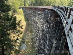
- Kinsol Trestle
-
- Along the Koksilah River
-
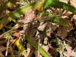
- Western Toad
-
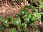
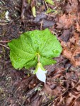
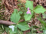
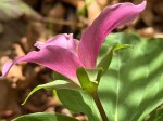
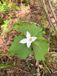
- Trillium
-
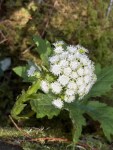
- Butterbur
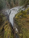
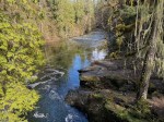
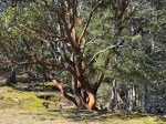
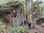
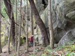
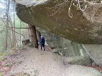
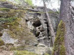
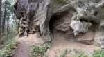
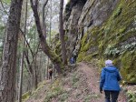
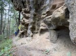
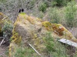
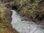
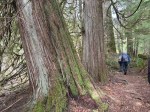
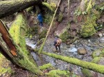
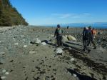
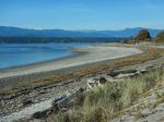
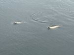
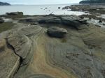
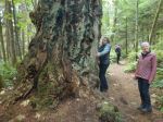
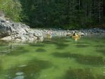
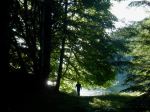
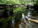
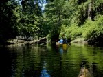
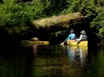
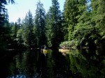
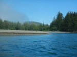
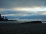
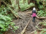
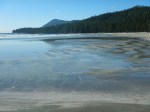
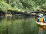
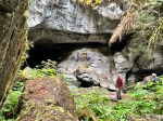
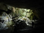
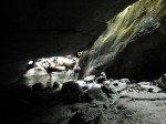
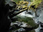
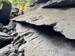
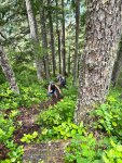
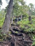
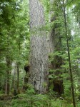
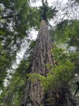
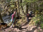
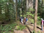
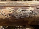
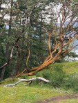
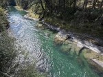
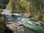
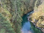
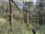
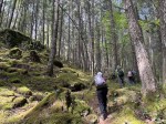
From there we drove up further along the Koksilah River. After having some trouble finding the trailhead, we followed the Koksilah River Ancient Forest Trail from a logging road down into a second growth forest and continued down to the old trees and to the river, both of which were lovely. By afternoon it was quite warm.
-
- Koksilah River
-
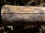
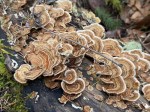
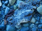
- Bark beetle pattern
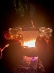
After dinner at the campground we gathered around Jim and Louise’s campfire before heading to bed.
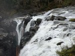
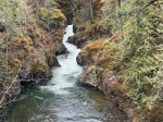
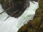
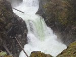
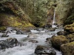
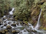
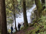
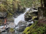
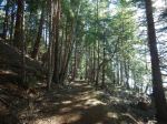
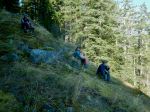
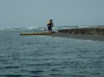
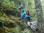
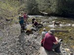
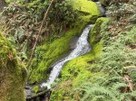
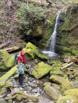
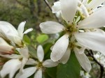
Tuesday – We hiked up an excellent trail to Bing’s Creek falls, starting at the Raven’s Haven. We soon passed through a grove of flowering dogwood trees. As the trail became steeper the forest was open and mature along the creek. We took the Lollipop Loop leading to the delicate falls and stopped for lunch by the creek on the way back down.
-
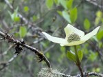
- Dogwood
-
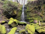
- Bing’s Creek Falls
-
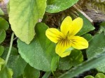
- Yellow violet
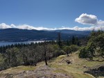
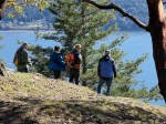
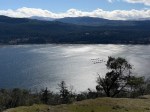
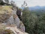
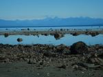
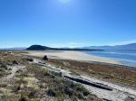
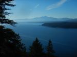
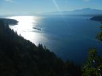
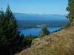
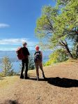
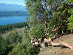
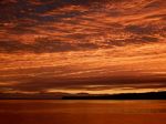
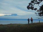
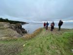
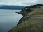
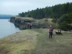
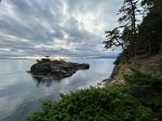
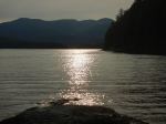
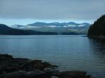
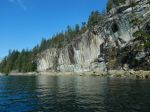
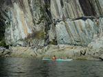
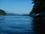
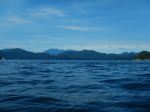
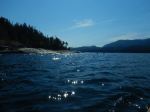
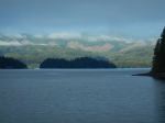
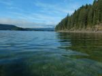
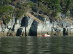
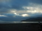
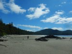
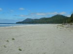
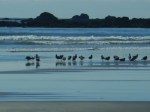
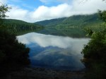
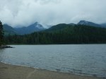
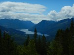
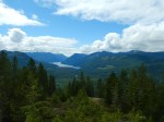
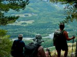
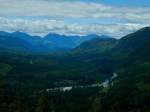
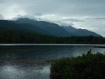
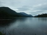
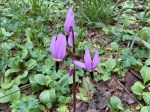
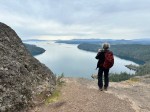
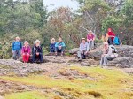
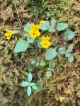
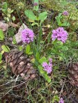
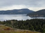
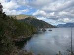
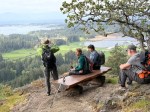
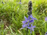
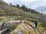
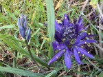
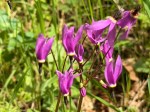
We next went to Stoney Hill Loop Trail, with another excellent trail. We quickly arrived at bluffs overlooking Maple Bay with an ecosystem we don’t have on Quadra. There were arbutus trees with some Garry oaks and an amazing array of spring flowers. We saw shooting stars, Fairy Slipper orchid, chocolate lilies, small monkey flowers, sea blush, blue-eyed Marys, miner’s lettuce and fawn lilies. On the bluffs, we had great views of Sansum Narrows and Salt Spring Island under a brooding sky. As we neared the parking lot on our return, the brooding sky turned to light rain.
-
- Shooting Star
-
- Chocolate Lily
-
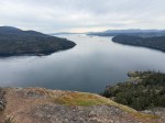
- Sansum Narrows
-
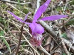
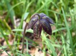
- Fairy Slipper orchid
-
- Blue-Eyed Marys
-
- Sea Blush
On the drive back to the campground the rain continued and the temperature fell, convincing us to go for a pub dinner at the Riverside Pub in Lake Cowicahan. The food was good and plentiful.
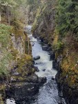
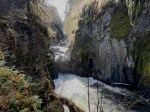
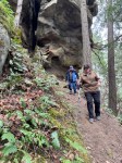
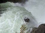
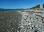
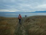
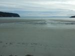
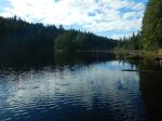
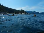
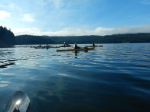
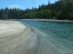
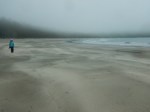
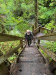
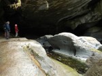
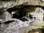
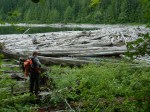
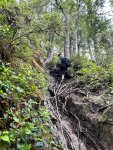
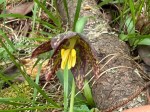
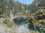
Wednesday: A few in the group departed but the rest hiked the Skutz Falls Loop from Mayo Road, counter-clockwise. We crossed the bridge over the Cowichan River and hiked along the south shore, downstream. The views and the variability in the river were wonderful. Further along there were open sections of banks with excellent spring flowers. The trail undulated between high bank and the river’s shoreline. We re-crossed the river and Trestle 66 and stopped for lunch at the picnic area there before continuing upstream on the north shore. The flowers continued to line the trail.
-
- Cowichan River
-
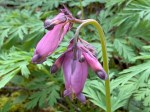
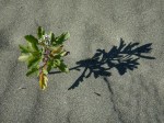
- Wild Bleeding Heart
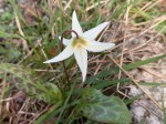
-
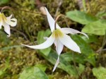
- Fawn Lily
-
- Chocolate Lily
-
- Saskatoon
-
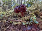
- False Morel
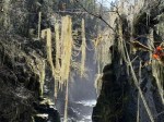
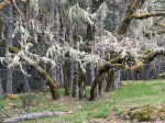
-
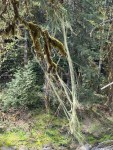
- Methuselah’s Beard Lichen
-
- Fawn Lily
-
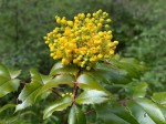
- Oregaon grape flower
-
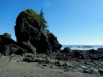
- Cowichan Lake Point Trail
We sat around the fire at Jim and Louise’s several times and then began to get ready for our departure the next day.
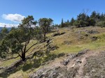
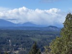
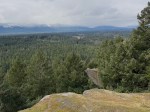
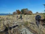
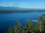
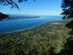
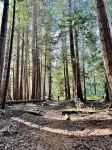
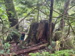
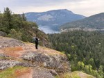
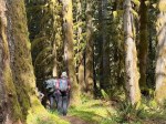
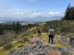
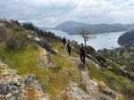
Thursday – Everyone broke camp and headed out on Thursday morning, with six of us squeezing in another hike. We started at the trailhead for Maple Mountain Southview Loop in a residential area, and then followed a newly gravelled BC Hydro road up to open bluffs under hydro lines. We took a connector trail out to view bluffs with Garry Oaks and blue camas. The views were great and the special ecosystem was unexpected to us. We enjoyed the views of Maple Bay and Salt Spring Island before heading into a lovely, open forest. We made a complicated loop before heading back to the vehicles and to home.
-
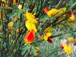
- Scotch Broom
-
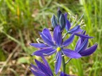
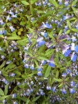
- Small camas
-
- Shooting star
-
- Garry Oak
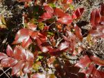
We really had exceptional variety on the six hikes we took in four days. An historic railroad bridge, old growth trees, a creek with falls, two beautiful bluff walks and a river loop, were some of the highlights we found in the Cowichan Valley. The spring flowers were a special treat.
Debbie
Thanks to Louise, Sameen, Ann and Norris for the photos