| Activity | Kayaking |
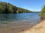
| Destination | Heriot Bay and Hyacinthe Bay |
| Date: | 6 Aug, Thursday |
| Trip Coordinator | Vic Gladish |
| Contact Info | vicgladish@gmail.com; 250-285-2111 or 250-287-0459 (text) |
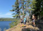
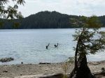
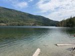
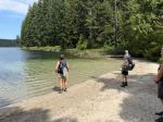
| Description | We will take advantage of a high water day and put in at Esplanade Park for a sunset paddle. We will work our way out to Hyacinthe Bay and, depending on the group’s motivation, to Hyacinthe Pt, take a peak into Open Bay and then beeline back to Esplanade Park/Gov’t Dock. Once on shore and packed up, head to the HBI for beverages (and food if we make it before the kitchen closes at 9:00pm). |
| Meeting Place | Esplanade Park (Antler Rd) |
| Departure Time | 1800 ON THE WATER |
| Difficulty | Easy if the weather is benign |
| Costs | Parking? |
| Trip limits | The more the merrier |
| Dogs? | No |
| Notes: | Have an early supper at home and/or bring a snack. The aim is to be on the water at 6:00 pm. Sunset is at 8:55 pm. We will put in at low tide (3.5 m) which isn’t very low and take out on a rising tide. Shore access should be easier than a normal low tide. |
Kayaking – Heriot Bay & Hyacinthe Bay – 6 Aug 2026
Reply