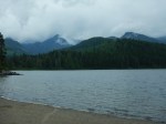
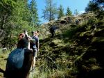
We had wanted to visit Raft Cove by boat from the Mackjack River for at least a decade. The combination of adequate information, timing and weather never worked out until July 2025.
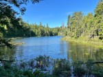
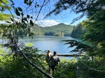
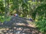
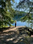
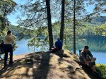
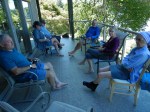
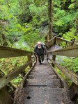
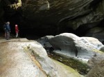
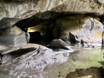
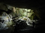
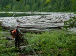
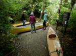
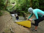
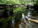
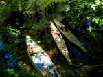
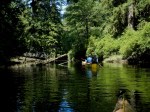
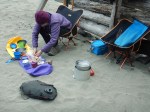
The launch site is now well known and quite popular. After the short, gravel path, access to the river is down a wooden ladder. We thought the shore would be muddy, but it’s more like sand. It works best to depart just as the tide in the river peaks and turns to ebb. This allows the boats to go with the current and float over the fallen trees. The paddle down the river was lovely and makes clear that we are in a temperate rainforest. It was mostly sunny and very quiet except for the Kingfisher. The weather at the beach was “coastal” – warm with soft clouds and not too windy. We set up our tents on the beach. There were quite a few others camping in the park, but the area is large and absorbs many. The park infrastructure of tent pads, outhouses and food caches was quite good for a remote park.
-
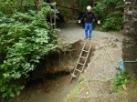
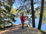
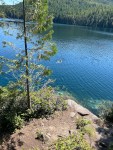
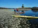
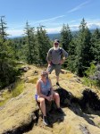
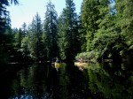
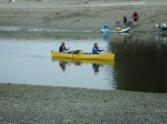
- Mackjack River launch site
-
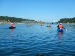
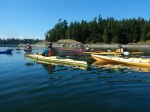
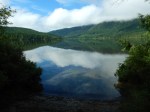
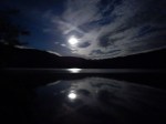
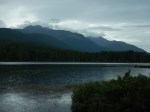
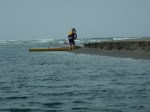
- Waiting for the tide
-
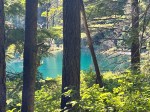
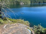
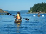
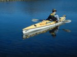
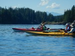
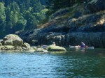
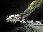
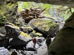
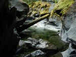
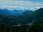
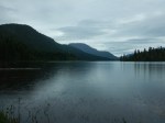
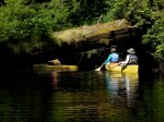
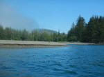
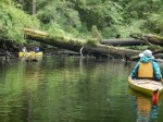
- Down the Mackjack River

-
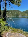
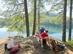
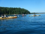
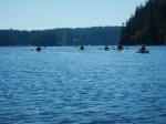
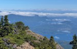
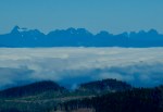
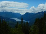
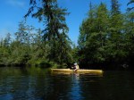
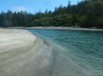
- Nearing Raft Cove
-
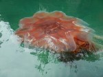
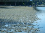
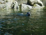
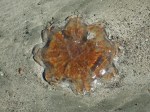
- Pacific Lion’s Mane Jelly
-
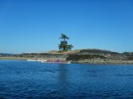
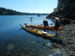
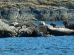
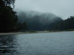
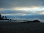
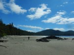
- Arriving at Raft Cove

-

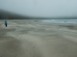
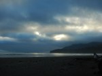
- Camping on the beach

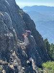
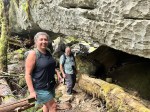
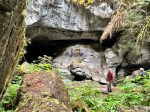
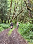
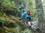
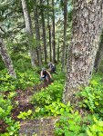
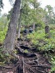
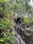
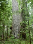
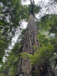
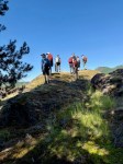
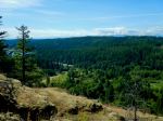
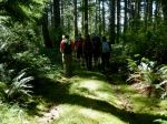
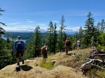
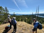
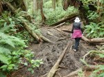
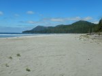
We had no particular agenda for our middle day. The morning cloud/fog lifted to a brilliant, sunny day. We relaxed in camp and walked a lot on the long, sandy beach, visiting the arch and sea stack. We walked the hiking trail to the parking lot. This was not exactly part of the plan, but the recent drought and the trail upgrade in 2009-2010 made this a reasonable walk instead of a gymnastic exercise climbing over fallen trees and through mud pits.
-
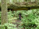
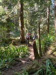
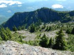
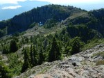
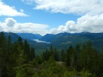
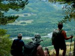
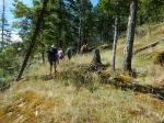
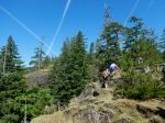
- Trail to Raft Cove
-
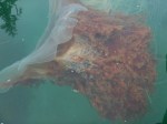
- Pacific Lion’s Mane Jelly
-
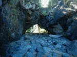
- Arch
-
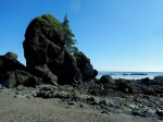
- Sea stack
-
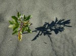
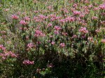
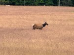
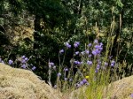
- American searocket
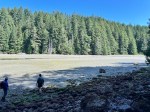
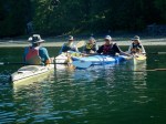
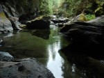
We packed up on the third morning and paddled across the river to briefly explore the south side of the park. Although it was a bit early for the rising tide, we went with the flood tide back up the river returning to the launch site and the vehicles. There were a few hurdles, but we arrived before two canoes launched and six paddle boards arrived after us. This is a beautiful, wild area, but at least in the summer, it isn’t complete wilderness and solitude.
-
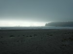
- Leaving Raft Cove
-
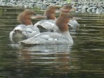
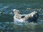
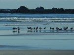
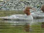
- Common Mergansers
-
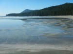
- Mackjack River

Debbie
(click on photos to enlarge)