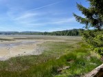
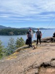
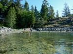
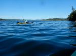
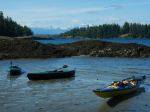
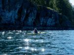
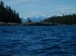
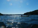
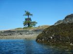
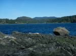
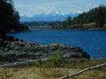
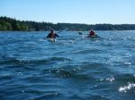
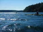
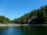
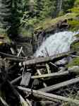
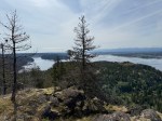
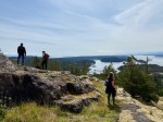
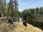
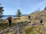
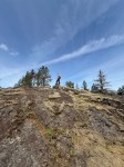
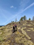
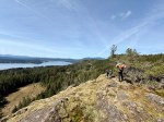
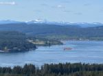
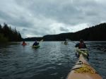
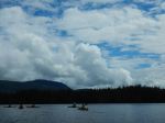
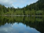
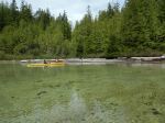
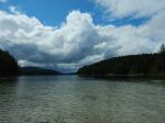
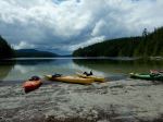
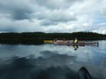
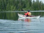
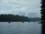
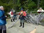
Seven paddlers launched at Amor Lake, a little later than planned as the road seems considerably rougher than previously. We headed north from the boat launch to the campsite at the north end of the lake. The site boasts a shelter with picnic table and fire ring (not an official structure) installed when there was easier road access. Some ATV’s seem to be getting in, but the main access road from Blackwater Main is blocked now. After lunch, we headed to the portage trail at the east end of the lake for a planned walk up to Twin Lake. However, by then, the rain had started and the access point is both muddy and rocky, so we gave the portage hike a miss. After taking a short break at one of the sandy beaches on the west side of Amor, we paddled back to the boat launch, at which time the rain stopped. We were the only folks out, and enjoyed the quiet, if occasionally damp, conditions. Not too much wildlife – just a few loons which were not perturbed by our presence. (13.4 km, 4¼ hr)
Darcy
(click to enlarge photos)
-
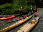
- Launching
-
- Arriving at the north Rec Site
-
- Lunch at the beach
-
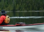
- Loons
-

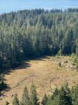
- The trailhead to Twin Lakes
-
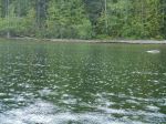
- Rain!
-
- Rest stop on a sandy beach