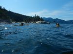
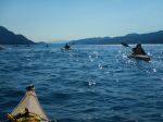
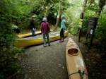
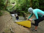
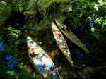
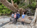
The first part of the adventure was just getting to Cortes, due to overloads and low tides. Seven of us went on four different ferry sailings and arrived more or less as planned.
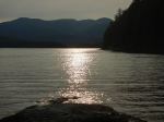
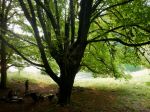
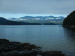
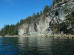
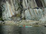
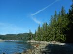
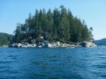
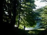
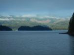
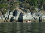
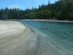
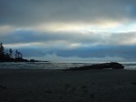
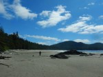
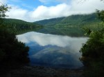
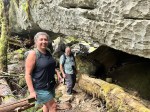
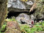
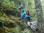
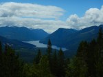
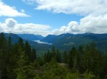
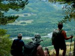
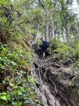
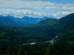
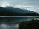
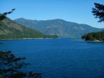
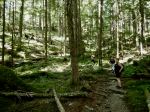
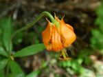
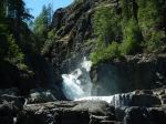
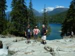
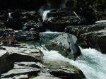
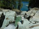
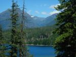
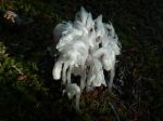
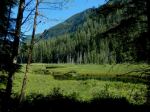
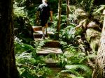
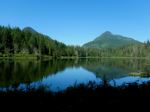
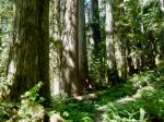
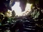
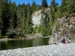
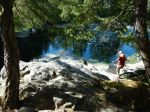
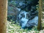
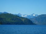
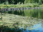
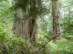
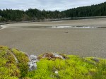
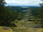
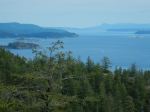
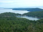
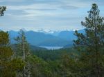
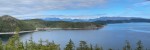
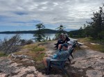
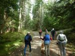
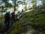
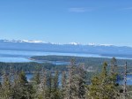
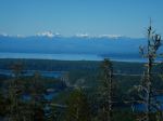
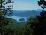
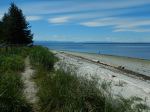
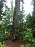
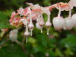
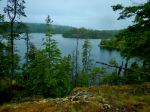
Tuesday: We started at Manson’s Landing Provincial Park to explore the forest and the beach. The timing was arranged to coincide with a very slightly minus tide around 12:30. We hiked through the forest to the community of Manson’s Landing and then down along Hague Lake before circling back to walk along the nearly dry Lagoon and out across the sand to the island for lunch. There were wild roses, death camas and sedums around us as we sheltered out of the wind. We walked around the end of the peninsula before going to the campground at Smelt Bay Provincial Park before our hike to Easter Bluff. (Manson Lagoon walk: 5.0 km, 2½ hours, 115m) The hike to the bluffs is short, but steep and rough in some places. The morning overcast was just retreating as we arrived on the bluff for the great views over Desolation Sound, Baker Passage and toward the mainland. (Easter Bluff hike: 2.0 km, 1½ hours, 130m) We wanted a bit more, so we explored the trail out to Red Granite Point, which we had not visited before. We found this a wonderful viewpoint for the effort to get there. (Red Granite Point hike: 1.1 km, 1¾ hour, 70m)
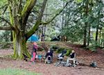
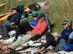
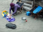
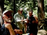
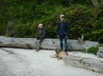
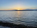
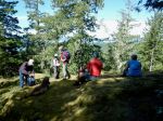
Back at the campground, we enjoyed a group happy hour, some of us walked on the beach, and after dinner we sat around a campfire.
(Click on the photos to enlarge)
-
-
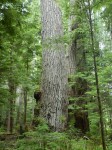
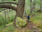
Old growth at Manson’s Landing
-
-
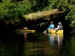
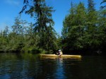
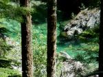
Hague Lake
-
-
-
Island in the dry lagoon
-

-
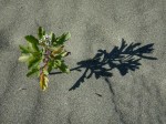
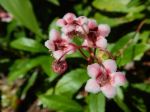
Sedum
-
-
-
-
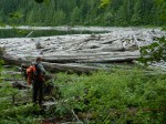
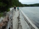
A very low tide
-
-
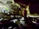
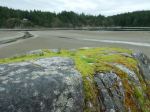
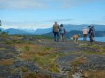
Up to Easter Bluff
-
-
Looking west
-
-
View toward southeast
-
-
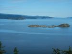
Looking south, Cortes Bay
-
-
Toward mainland mountains
-
-
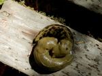
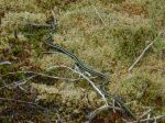
A very lively garter snake
-
-
Leaving Easter Bluff
-
-
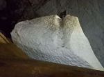
At Red Granite Point
-

-
View northeast
-
-
View east
-
-
-
-
-
-
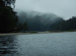
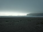
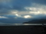
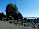
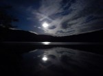
Sunset at Smelt Bay
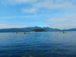
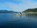
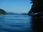
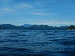
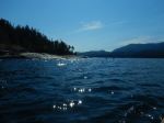
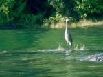
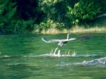
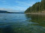
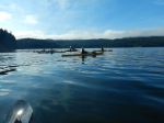
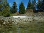
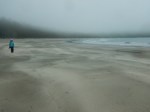
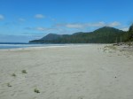
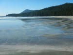
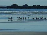
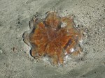
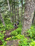
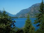
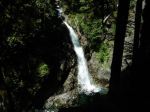
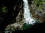
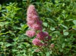
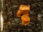
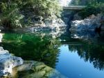
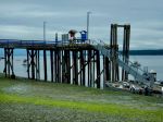
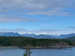
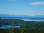
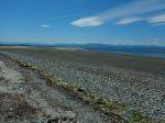
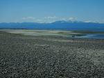
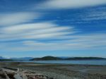
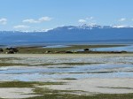
Wednesday: We were off by 9:30 for the hike to Green Mountain. The climb went more quickly than we remembered and we were up to the loop on the bluff in half an hour. The day was very clear and the views in every direction were great. (Green Mountain hike: 4.1 km, 1¾ hour, 200m) We returned to the campsite for lunch and then headed out on the beach again with a slightly minus tide at around 13:20. We walked out toward the end of Sutil Point, but did not go the entire way. It was a wonderful, if a bit wet, walk. The extensive flats, the intertidal life, the views and the clouds were excellent. (Sutil Point beach exploration: 4.8 km, 2 hours) For a bit more variety, most of us visited the gardens at Hollyhock in the late afternoon. The garden with flowers, vegetables and herbs is very impressive and photogenic. The variety of iris in bloom was lovely. We visited their east-facing beach before returning to camp for dinner and some early packing up, in light of the forecast rain overnight.
-
-
Off to Green Mountain
-
-
-
View to the southwest
-
-
-
Toward Carrington Bay
-
-

-
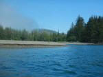
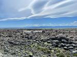
Gorge Harbour and beyond
-
-
-
-
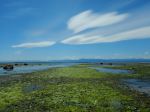
South from Smelt Bay
-
-

-
Moonsnail egg case
-
-
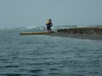
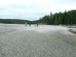
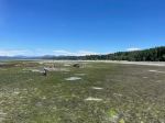
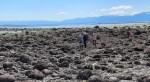
Sutil Point at a zero tide
-
-
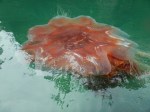
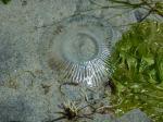
Crystal jelly
-

-
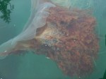
Squirted by a geoduck
-
-
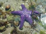
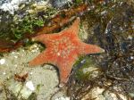
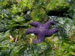
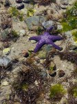
Ochre seastar
-
-
-
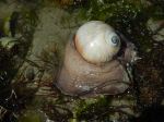
Moonsnail with shell
-
-
-
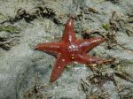
Leather seastar
-
-
-
Leather seastar
-
-
-
Ochre seastar
-
-
-
Ochre seastar
-
-
-
-
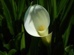
Calla lily
-
-
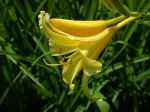
Yellow day lily
-
-

-
Iris
-

-
Lupin
-
-
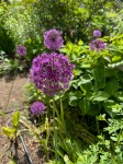
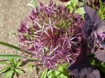
Star of Persia
-

-
Iris
-
-
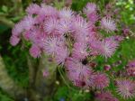
Bugbane?
-

-
Poppy
-
-
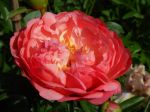
Peony
-
-
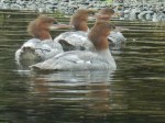
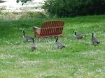
Canada Geese
-

-
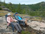
Vew northeast from Hollyhock
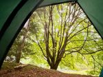
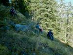
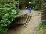
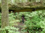
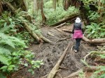
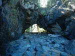
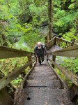
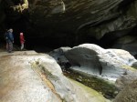
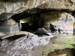
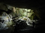
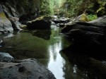
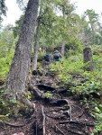
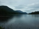
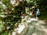
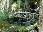
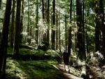
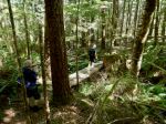
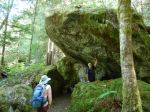
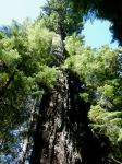
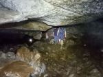
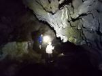
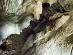
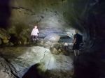
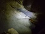
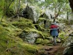
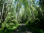
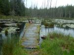
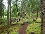
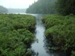
Thursday: It definitely rained overnight, but what was more inconvenient was the deluge at 8:30 in the morning, which was not forecast. If definitely put a damper on enthusiasm for walking. While some headed home, two headed out to visit the very popular free-store on Cortes, while two others went for the initial planned walk to the south end of Kw’as Park. We had not used this approach before. After reaching the park we followed two short loops with a connector. From the really huge Douglas fir tree, we climbed to the cedar ridge and back down to the bridge over the inlet between Hague and Gunflint Lakes. We circled back and then climbed up to the short Pierre de trail loop. It was a lovely, quiet, wet walk. (South Kw’as hike: 3.5 km, 1 hour, 120m)
-
-
Through the swamp
-
-
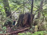
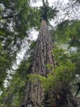
Grand old Douglas fir
-
-
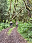
Indeed it was quiet
-
-
-
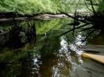
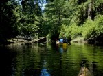
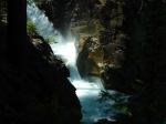
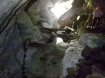
Inlet between the lakes
-
-
Salal flowers
-
-
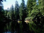
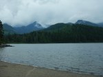
View of Hague Lake
We returned to Quadra on three different ferry sailings and by noon the sun was out and the wind was up. This was a wonderful visit to Cortes with great destinations and mostly great weather.
Debbie
Thanks to Vic, Les and Norris for the photos
Multi-day Hiking, Camping – Cortes Island – 27-29 May 2025