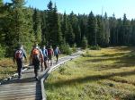
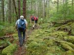
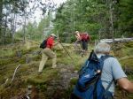
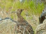
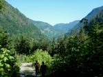
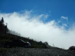
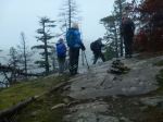
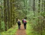
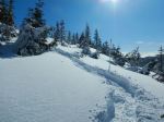
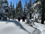
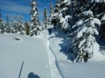
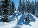
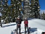
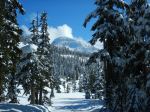
Since the planned paddle was cancelled due to a wind forecast, we switched to a snowshoe trip. And the weather at Mt. Washington was a surprise – sunshine and 18 cm fresh snow. Three of us went up Great Big View following a broken track, then we went on Finger Glades. The snow and the views were great. We stopped for lunch and shortly after the broken track ended. We decided to continue anyway and the route carried on and up. Eventually we joined a track left by skiers for a while. Then we were breaking trail again. We followed the wands for Marmot’s Mess in the wrong direction until we cut cross-county back to the Great Big View trail. Jim was the champion trail breaker and super fixer of a broken crampon.
(5.7 km, 4 hours, 275m ascent)
(5.7 km, 4 hours, 275m ascent)
Norris
Thanks to Jim and Norris for the photos
(click on photos to view larger)
-
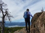
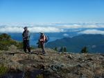
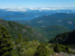
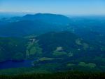
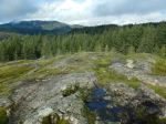
- Mt. Allan Brooks
-
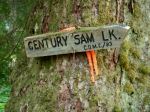
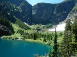
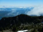
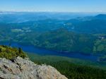
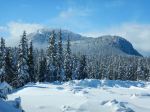
- Jutland Mountain
-
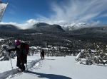
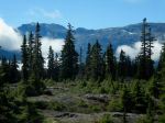
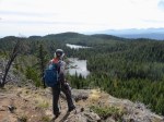
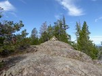
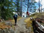
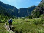
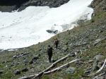
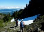
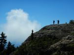
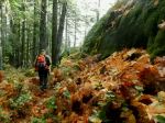
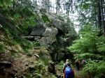
- Climb to Great Big View
-
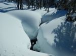
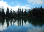
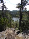
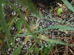
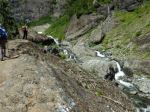
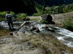
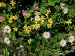
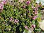
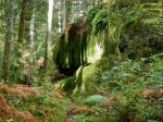
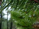
- A creek
-
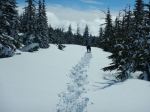
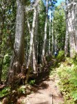
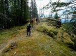
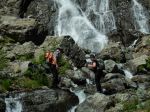
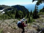
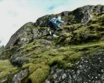
- Jim breaking trail
-

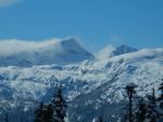
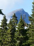
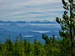
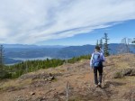
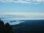
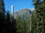
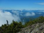
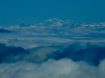
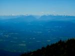
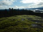
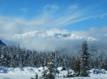
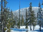
- Mt. Albert Edward