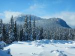
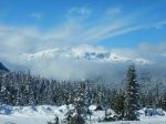
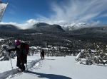
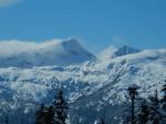
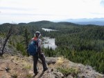
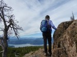
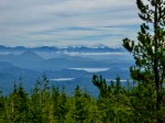
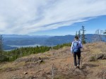
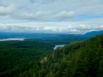
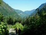
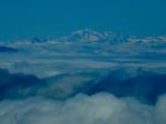
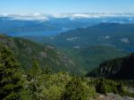
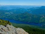
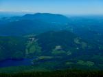
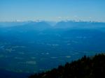
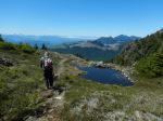
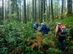
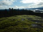
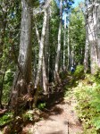
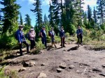
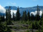
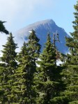
Eight members met at the Q-Cove parking lot to head out to Mt Washington to embark on one of the longest hikes completed so far in 2024. While weather forecasts called for rain and clouds, Mother Nature provided a beautiful day no showers and the clouds clearing to allow us to catch glimpses of the beautiful mountain ranges and peaks.
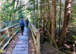
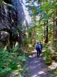
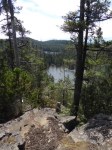
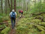
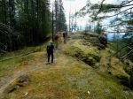
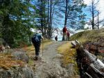
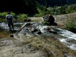
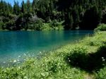
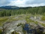
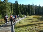
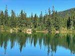
Starting at Raven Lodge, the group easily walked through the wheelchair accessible part of the Forbidden Plateau Loop. Once past that, the trail was well maintained to hike past Battleship Lake, Kooso Lake, Lady Lake and finally arriving at Croteau Lake for a much needed break and lunch.
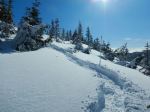
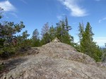
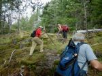
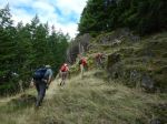
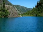
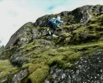
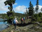
After lunch, the hike to Kwai Lake was completed and a decision made not continue the loop to the west of Helen Makenzie Lake due to past rains and the steep, slippery sections we were to encounter with no great views. Therefore, the hike changed from a basic loop to a bell-bar hike and instead of heading back towards Raven Lodge we carried on completing a small loop around Mariwood Lake and back to Kwai Lake. Here we retraced our steps back past Croteau Lake, Lady Lake, Kooso Lake and then crossed over to the other side of the loop walking past breathtaking view of Lake Helen Mackenzie. Here we completed the second part of our bell-bar and closed the loop back up to Raven Lodge.
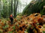
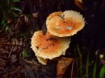
September was a beautiful time to enjoy the cooler temperatures and fall colors, along with the mushroom and blueberries. (20.5 km, 7¾ hours, 600 m cumulative elevation gain)
Louise
Thanks to Carrie, Jim and Norris for the photos
(click on photos to enlarge)
-
-
-
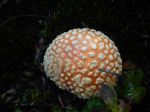
Fly Agaric (amanita)
-
-

-
Angel’s Wings
-
-
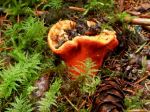
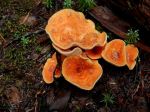
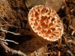
Scaly Chanterelle
-

-
-
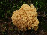
Coral Fungus
-
-
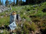
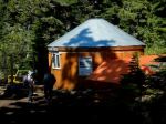
Yurt at Croteau campground
-
-
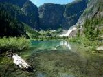
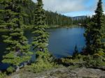
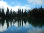
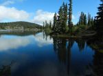
Croteau Lake
-
-
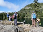
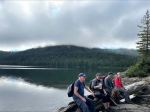
The lunch stop
-
-
-
-
Turbinellus kaufmanii
-
-
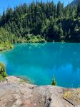
Kwai Lake
-
-
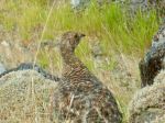
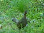
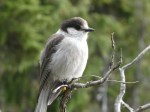
Canada Jay or Whiskey Jack
-
-
-
-
-
-
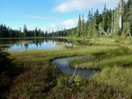
Mariwood Lake
-
-

-
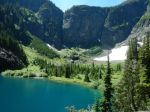
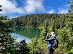
At Helen Mackenzie Lake
-
-
Hiking – Forbidden Plateau – 18 Sept 2024