This trip has been cancelled.
| Activity | Kayaking |
| Destination | Round the Cape (QCove to Smith’s Rd) |
| Date | 31 Oct, Thursday |
| Trip Coordinator | Vic Gladish |
| Contact Info | 250-287-0459 |
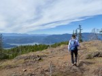
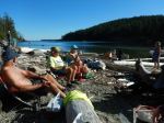
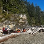
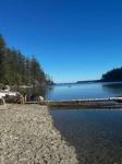
| Description | This is about a 4 hour paddle from Quathiaski Cove to the shore access at the bottom of Smiths Rd. The trip requires a shuttle which will be arranged once I know who is participating. The day/time is picked with the tidal movements in mind so the trip is easy to moderate depending on wind. The trip will be canceled if the weather forecast is for wind and/or rain. |
| Meeting Place | Quathiaski Cove parking lot at 1000 h. |
| Departure Time | On the water by 1030 |
| Difficulty |
Easy, but wind could be a factor. |
| Costs | Parking ($2-4) and launch fee ($4) |
| Trip limits | 8 |
| Dogs? | No |
| Notes: | I have a kayak trailer that holds up to 5 kayaks, and which could play a role in the shuttle, if necessary. Ocean going kayaks that meet club and coast guard safety standards are required. |