| Activity | Hiking |
| Destination | Mt. Lolo |
| Date | 10 June 2026, Wednesday |
| Trip Coordinator | Norris Weimer |
| Contact Info | norris.weimer@ualberta.ca, 3710. Please contact the coordinator by Monday night. |
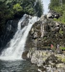
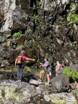
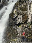
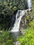
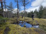
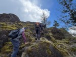
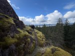
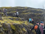
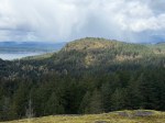
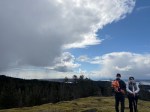
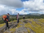
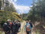
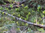
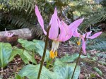
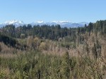
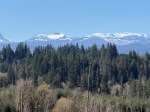
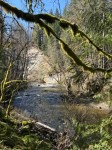
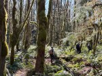
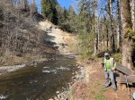
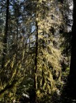
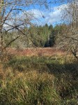
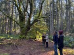
| Description | We will begin on the trail to Maud Island and then follow old logging roads, deer trails and routes to the Mt. Lolo bluff overlooking Discovery Passage. After exploring the short ridge with great views we will return the same way. About 8 km; 4+ hours. |
| Meeting Place | Community Centre parking lot. We will drive out in a group. |
| Departure Time | 10:00 |
| Difficulty |
Moderate, much of this will not be on maintained trails. |
| Costs | None |
| Trip limits | 10 |
| Dogs? | |
| Notes: | Bring lunch, poles if you use them and gear for the weather. This is a trip better done in good weather and might be postponed if the forecast is poor. |
Hiking – Mt. Lolo – 10 June 2026
1