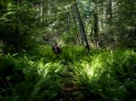
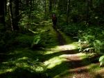
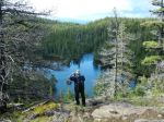
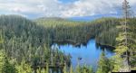
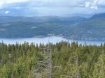
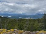
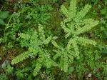
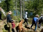
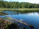
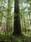
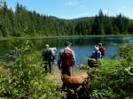
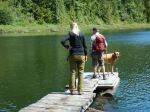
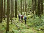
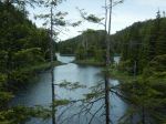
The heavily loaded logging truck barrelling along the Walcan Road meant business as we manoeuvred our two cars, with four hikers and three dogs, as close to the road edge as possible. We soon realized that these trucks were coming from our eventual destination, the Maud Island / Plumper Bay trailhead. A quick but necessary change of plans and smart u-turn and we were back at our starting point, the Morte Lake parking lot. As this was billed as a low-key hike, we saw no reason to change that as well. We headed towards Morte Lake along the pleasant Deadfish trail, taking the bridge across the creek to connect to the main trail. We had a short, early lunch at the small north beach. It was still too chilly to swim, but at least no more rain after an earlier downpour. We took the main trail back to our cars, noting the improvements to divert runoff. Altogether a pleasant hike with a lake rather than ocean view for our break. (6.3 km 2.5 hours)
Valerie
(click on photos to enlarge)
-
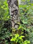
- Deadfish trail sign
-
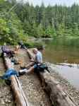
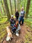
- Lunch at Morte Lake