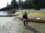
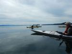
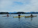
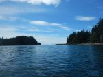
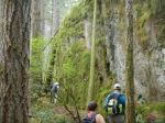
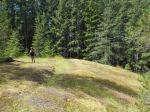
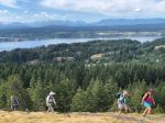
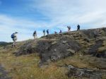
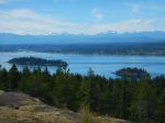
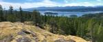
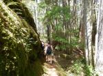
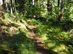
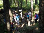
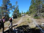
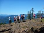
Hoping to avoid the predicted warm temperatures, 13 intrepid hikers (9 Club members and 4 guests) got an early start on their ascent of Mt. Seymour, leaving the HB parking lot at 8 am. As this was to be a cross-over hike, three cars were left at the Mt Seymour trailhead on Granite Bay Road. At 8:45 am we began the slog up the Nugedzi Trail, which seems to be easier going up than down. Several varieties of mushrooms, fungi, and some late season orchids were noted on the logging road section of the trail. We stopped at the first East viewpoint for a brief rest, only a slight heat haze blurring the horizon. Finally, entering the old-growth forest (or “Enchanted Forest” so named by one hiker) was a pleasant relief, reaching Nugedzi Lake by 10:50. We had decided to press on to summit Mt. Seymour first, then to return to Nugedzi for a well-earned swim. We reached the summit about an hour later, enjoying the views first south over Nugedzi , then west to Vancouver Island and Seymour Narrows , where the flood current was clearly visible, as we climbed. The spectacular views south and east from the summit awed our visitors, the Discovery Islands clearly visible, and well beyond down Vancouver Island and over to the mainland. We took the board walk loop back to Nugedzi Lake where most of the group at least dipped their toes in the water, which was quite bearable. Refreshed, we walked briskly down the Mt. Seymour trail to the waiting cars, arriving just after 3:15. 11.2 km; 6.5 hours; 425 m elevation gain to Mt. Seymour.
Note: thanks to the Trail Committee who had obviously been very busy earlier this year weed-whacking the entire Nugedzi-Seymour trail.
Valerie
(click on photos to enlarge)
-
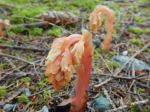
- Pinesap
-
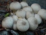
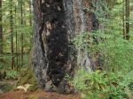
- Puff balls
-
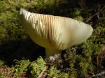
- Mushroom gills
-
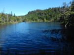
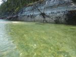
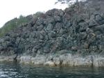
- Little Nugedzi
-
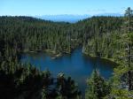
- Little Nugedzi
-
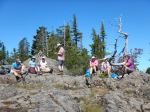
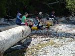
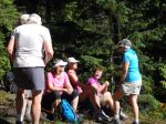
- Lunch break
-
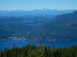
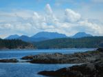
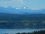
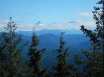
- Discovery Passage & Mt. Victoria
-
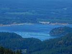
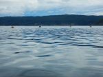
- Seymour Narrows flooding
-
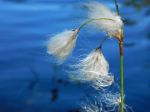
- Cotton Grass
-
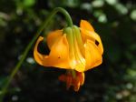
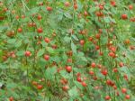
- Tiger Lily