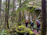
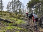
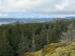
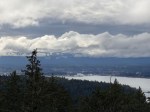
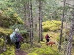
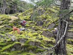
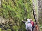
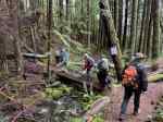
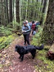
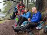
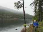
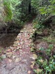
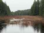
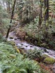
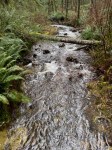
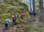
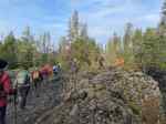
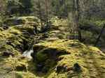
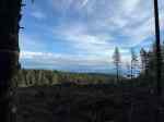
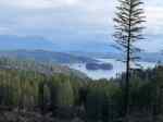
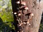
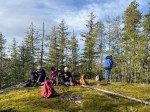
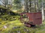
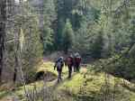
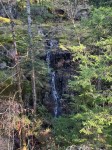
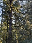
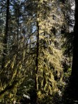
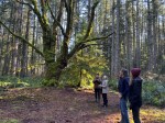
This walk around Blenkin Park was postponed one day and we were rewarded for it. It turned out to be a calm, sunny, warm day for a casual walk in the woods. We did a zigzag path so as to cover all trails in the park without having to do one twice except in two short areas. The sun was glorious shining through the trees, and especially through the long hanging moss. We took a short side trip out to the edge of the low wetlands before we headed up to the big old Maple at the Homestead. After this we wandered to the fire hall and back before continuing on our zigzag path. We wandered down Homestead Trail, and then took a side trip on Swale Trail before going back to the tennis courts. Many trees had come down in this area from the heavy snowfall and high winds. They have all been cut back now, though, and the trail is open. (7.4 km and 2 hours)
Les
(click on photos to view larger)
-
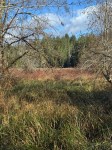
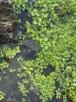
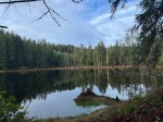
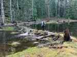
- The wetland
-
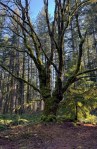
- The Homestead Maple tree