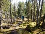
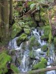
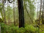
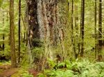
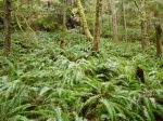
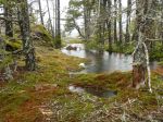
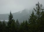
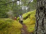
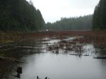
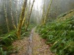
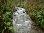
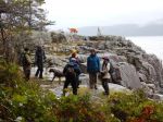
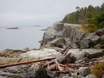
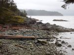
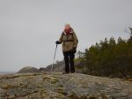
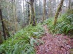
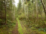
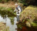
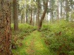
When Wednesday dawned grey and drizzly we decided to postpone the trip to Mt. Washington and go for a walk instead. We set out on a loop on the Cape Mudge Reserve of logging roads, streets and trails. We started on an old road off of the road to the Lighthouse, hopped across the wetlands and continued into the village. We followed the trail along the shore, which has been much eroded from the recent storm surge, continued past the campground, Lighthouse, Tsa Kwa Luten and into the forest trail which returned to the road. There were lots of flowers to admire along the way. 9km; 2½ hours.
-
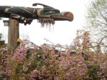
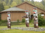
- Carvings in Cape Mudge Village
-
- Carvings at the Museum
-
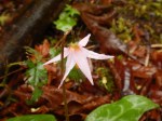
- Pink Fawn Lily
-
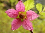
- Salmonberry
-
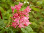
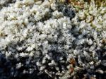
- Current flowers
-
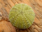
- Dead sea urchin
(click on photos to view larger)