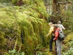
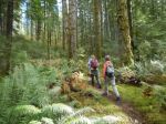
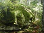
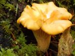
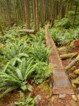
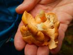
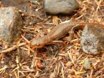
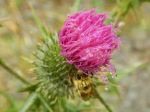
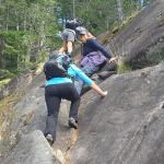
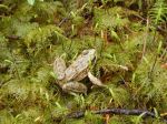
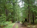
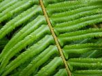
Despite the downpour the night before, 5 hikers accompanied by one friend of the canine persuasion braved the wet woods for a day of pleasant rambles. The original plans to explore down from Beaver Lake were altered to avoid much bushwhacking in the wet woods. The first ramble began from a logging road at the bottom of Gravel Pit Hill beside the full creek flowing south towards Open Bay. The area appears to be a second growth riparian zone, the rich forest included thick outcrops of Devil’s Club in bloom, all varieties of ferns and two frogs (Pacific Tree Frogs?) on the trail. The trail veered away from the creek up to one of the many logging roads in the area. We crossed the road and followed the flagged route up through a more recently logged second growth to a higher logging road which we followed back out to the junction where our cars were parked.
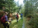
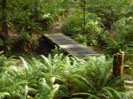
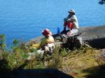
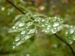
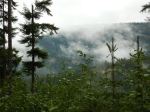
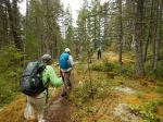
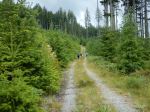
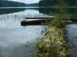
We opted to drive to the trailhead to Stramberg Lake, taking Open Bay Main just after a fully-loaded logging truck pulled out, heading towards Granite Bay. We parked at the orange gate and followed the logging road east for about 10 minutes, branching off onto an old logging road trail which we followed for about 15 minutes. We found the northerly trail down to Stramberg Lake, but it was quite overgrown with some deadfalls. The final few hundred meters required some bushwhacking (sorry, Emily and Jess) to reach the lakeshore. After a short break on the sandy beach enjoying the tranquil view, we retraced our path back to our cars. We had walked for almost 4 hours, enjoying the lush, damp woods so full of life after the early summer rains. 7.6 km
Valerie
-
-
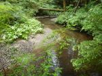
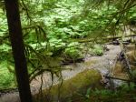
Open Bay Creek
-
-

-
-
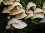
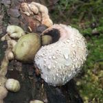
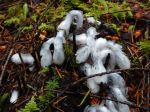
Indian Pipes
-
-
-
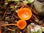
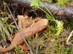
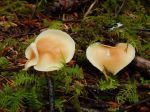
Pinesap
-
-
Open Bay Creek
-

-
-
-
-
-
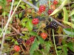
Huckleberries
-
-
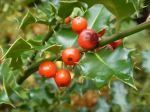
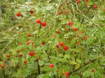
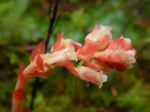
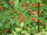
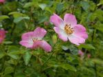
Wild rose
-
-

-
-
-
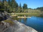
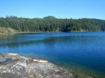
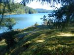
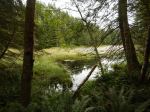
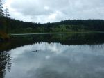
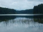
Stramberg Lake
-
-
(click on photos to view larger)
Hike – Open Bay Logging Roads – 22 June 2016