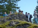
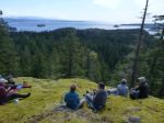
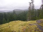
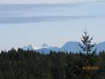
Clouds in the early morning gave way to perfect sunny weather for the Karst Hike on Saturday March 21st, 2015. The previous day’s rain provided plenty of water in the streams, creating ideal conditions in which to really appreciate this distinctive topography.
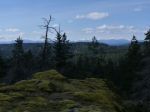
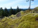
Karst landscape is largely shaped by dissolving action of water on carbonate bedrock (usually limestone, dolomite, or marble). This geological process, occurring over many thousands of years, results in unusual surface and subsurface features ranging from sinkholes, vertical shafts, disappearing streams, and springs, to complex underground drainage systems and caves.
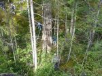
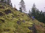
A narrow band of Quatsino Limestone on Quadra Island extends north from Open Bay and terminates near Luoma Creek. The most significant area north of Canyon Creek contains the most number of caves and karst features. Although the cave sizes are very small, the impressive size of some of the karst features makes this an interesting area for recreational exploration and interpretation.
The Quadra Island Trails Committee has applied to Recreation Sites & Trails BC for two Forest Interpretative Sites to help protect some of finest surface karst features on Quadra Island.
Richard Leicester.
-

-
Richard
-
-
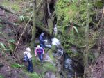
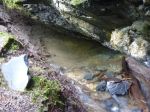
Resurgent stream in sink hole
-
-
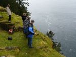
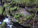
Cliff above the sink hole
-
-
Resurgent stream in sink hole
-
-
Emerging stream
-
-
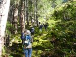
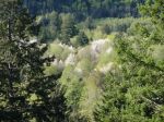
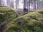
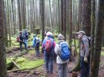
Open understorey forest
-
-
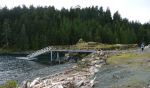
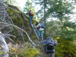
Shake cutter’s bridge
-
-
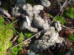
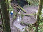
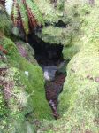
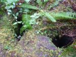
Small sink hole, subsurface water
-
-
Emerging steam
-

-
Creek in sink hole
-
-
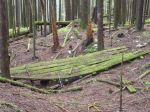
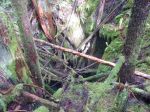
Log debris in large sink hole
-
-
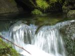
Resurgent waterfall
-
-
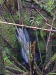
Waterfall into a large sink hole
-

-
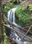
Waterfall into a large sink hole
-
-
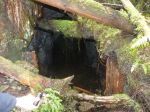
Old mine shaft
-
-
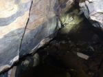
Marbling in cave
-
-
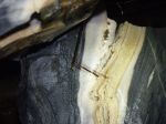
Marbled rock in cave
-

-
Grike openings
-
-
Grike openings
(click on photos to view larger)
Karst Formations – 21 March 2015