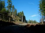
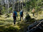
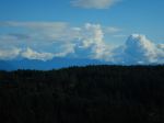
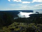
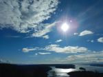
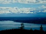
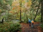
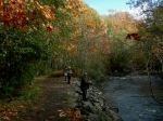
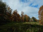
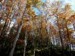
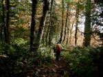
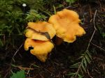
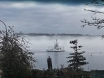
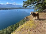
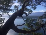
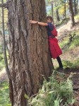
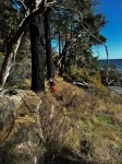
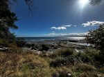
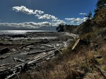
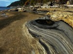
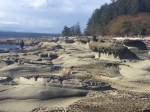
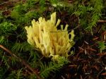
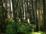
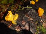
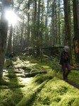
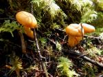
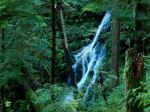
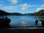
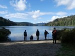
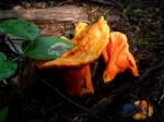
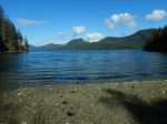
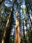
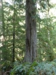
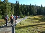
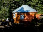
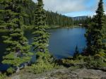
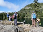
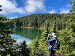
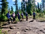
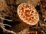
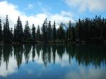
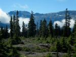
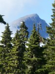
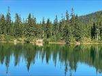
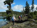
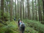
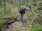
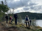
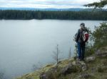
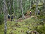
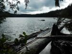
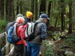
Nine hikers set out on a cool, cloudy day to go around Morte Lake. We went up Lower Deadfish Trail from the parking lot to get a better view of the creek, which was running well after all the heavy rains. At the first junction, we crossed back over the creek and proceeded on to the lake. The moss and foliage has really greened up since the rain. There was also an abundance of mushrooms, but some types are dying back now. We decided to go counterclockwise around the lake and stopped at the first beach to look at all the ducks that were at the end. We proceeded up the newer mountain bike trail that has many switchbacks up the side of the hill before we went out on to the rock bluffs. There are many great views of the lake along this portion. We stopped at the picnic table at the west end for lunch. A wind came up a bit so it was quite cool. The lake level was very high for this time of year. After this we proceeded through the Conservancy land and back around Morte Lake.
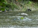
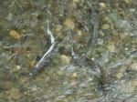
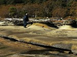
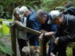
When we got back to the small bridge close to the parking lot, we were treated to a special event. There were 100 or more chum salmon spawning at the bridge. We were all amazed at that amount of fish churning up the water there. After this, we decided to stop down at the salmon viewing platforms at Hyacinthe Creek. There were a few hundred there with some of them having died already. It would seem that all of the work that the Salmon Enhancement Society has done is paying off. (10.5 km and 4 hours)
Les
(click on photos to enlarge)
-
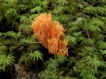
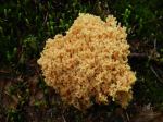
- Coral mushroom
-
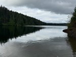
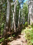
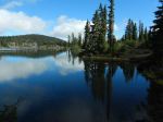
- Morte Lake
-

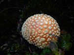
- Fly agaric
-
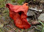
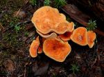
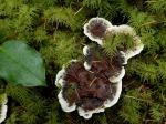
- Lobster mushroom
-
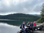
- The lunch break
-
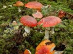
- Fly agaric
-
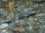
- Chum
-
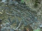
- Chum salmon spawning