| Activity | Hiking |
| Destination | Hornby Island Bluff Loop |
| Date | 2 Oct 2024, Wednesday |
| Trip Coordinator | Cyndy Chidley |
| Contact Info | 250-285-3575; please contact the coordinator by Tuesday |
| Description |
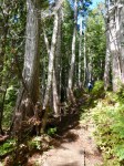
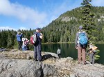
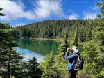
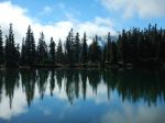
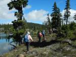
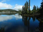
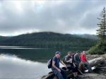
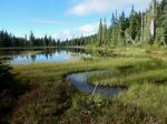
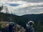
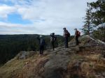
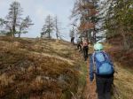
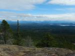
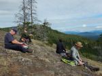
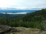
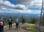
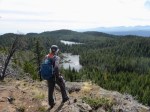
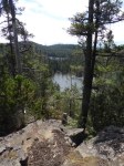
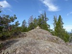
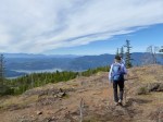
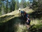
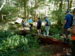
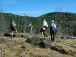
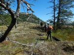
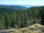
We will hike a loop in the Mount Geoffrey Escarpment Provincial Park, going out on a higher bluff and returning lower on the bluff. We will pass through Ford Cove and return to Shingle Spit.
Here are the ferry sailings to make this work as a day trip:
Leave QCove, Quadra at 7:00
Leave Buckley Bay at 8:20
Leave Gravelly Bay, Denman Island at 9:40 as pedestrians
Return from Shingle Spit, Hornby Island at 4:00
Hope to return from Denman West at 4:40 or 5:40
|
| Meeting Place: | QCove ferry terminal |
| Departure Time | 7:00 sailing to Campbell River |
| Difficulty |
Moderate, but some flexibility for the group |
| Costs | Ferries and fuel |
| Trip limits | 10 |
| Dogs? | |
| Notes: | Bring your lunch with you. The weather forecast is good, but come prepared. Please make you own carpooling arrangements. |
Hiking – Hornby Island Bluff Loop – 2 Oct 2024
1