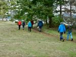
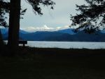
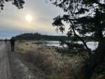
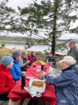
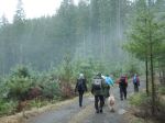
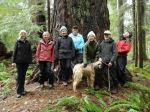
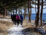
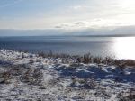
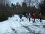
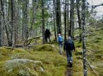
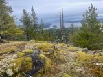
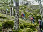
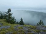
It was a cloudy cool day as 10 of us set out for a hike. We parked on the Copperhead logging road near the repaired culvert as there is more parking there. We first went up the Blindman’s Bluff trail. There were a few trees down and wet salal on the trail. All in all though it is in good condition and a fine hike. The many open bluffs give excellent views to the east and south. Visibility was good, but you could see the rain coming from the southeast. We paused for a brief snack, and to enjoy the views at the largest open area. We then circled back to the main trail.
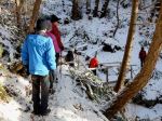
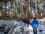
The old road had quite a bit of water, running down it to the beaver pond. The water level was quite high in the pond and it was starting to rain now so we pushed on to Eagle Ridge. We stopped at the top to have a quick lunch. The rain started coming heavy so we headed back to the vehicles. We were all soaked by the time we got back to the vehicles but we’re quite happy that the first two hours were dry. 7 km, 3 1/2 hours.
Les
Thanks to Les and Norris for the photos.


-
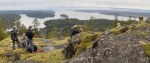
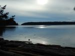
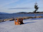
- Views at the short break
-
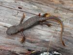
- Rough-skinned newt
-
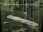
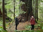
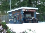
- Remnants of the Missing Link
-

- Oregon Grape
-

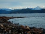
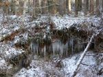
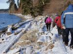
- Wetland views
-
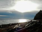
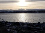
- Weather coming

-

- Rain arrived