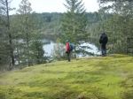
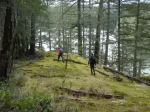
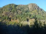
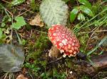
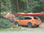
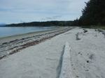
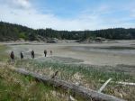
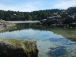
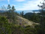
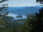
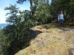
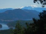
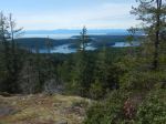
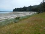
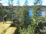
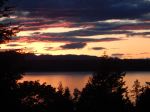
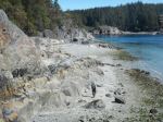
Day 1 – With Dr. Bonnie Henry’s encouragement to go camping locally, we stayed three nights and four days on Cortes Island, using the Smelt Bay campground as our base. After taking the ferry on Monday to Cortes, setting up camp and after having a sunny, relaxed lunch on the beach at Smelt Bay, we went to Manson’s Lagoon at a very low tide so that we could walk to the little island and explore the intertidal zone. (1.5 km; 1 hour) After that we hiked to Easter Bluff, a short walk rewarded with excellent views to the south and east. (2.3 km; 2 hours)
(click to enlarge photos)
-
-
Campsite
-
-
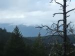
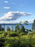
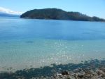
View from campsite
-
-
Smelt Bay beach
-
-
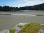
Manson’s Lagoon low tide
-
-
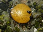
Sand dollar
-
-
-
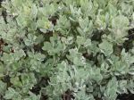
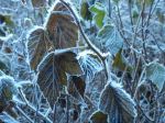
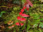
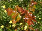
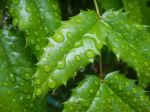
Oregon grape
-
-
-
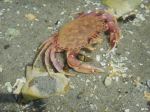
Crab
-
-
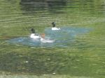
Common Merganser
-
-
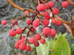
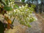
Arbutus blossoms
-
-
Easter Bluff
-
-
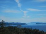
View south
-
-
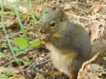
Squirrel
-
-
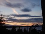
First night sunset
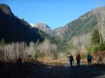
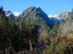
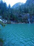
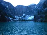
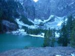
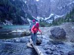
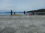
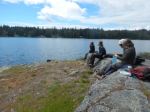
Day 2 – The night was quite cold, but we warmed up hiking up to the summit of Green Mountain, the highest point on Cortes Island, but still a very accessible trip. The loop around the top provided great views in most directions. (4.3 km; 2 hours) In the afternoon, one couple kayaked on Hague and Gunflint Lakes, while the rest of us kayaked from the Whaletown government dock out to Shark Spit, once again at a very low tide. The launch down the steep ramp was quite extreme. We walked around the Spit before portaging the boats over the spit and exploring the islets and coast around Uganda Passage. (9 km; 2.5 hours)
-
-
Looking SW from Green Mountain
-
-
Looking NW
-
-
-
View north
-
-
View south
-
-
-
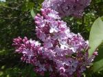
Lilacs
-
-
Whaletown
-
-
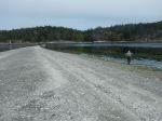
Shark Spit
-
-
-
Beach at Marina Island low tide
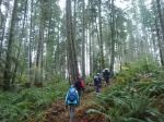
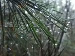
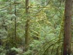
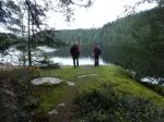
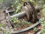
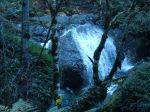
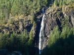
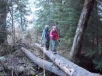
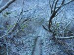
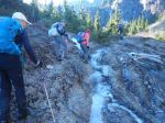
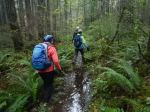
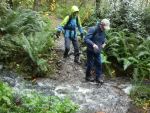
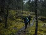
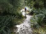
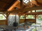
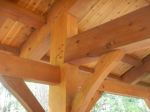
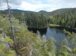
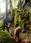
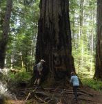
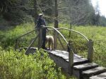
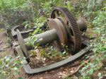
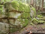
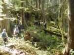
Day 3 – Rain was forecast overnight and into Wednesday, but we really only had drizzle overnight and it was dry by morning. Still, for breakfast we took advantage of the beautiful picnic shelter at the Smelt Bay campsite, with its timber-framed structure, wood stove and picnic tables. We then set out for the long loops at Kw’as Regional Park. Starting near the Cortes Motel, we hiked the eastern side Millennium Trail out to the Swim Rock for lunch. We followed along the Rock Face trail on the Hague Lake shore and visited the amazing Survivor Fir before crossing the narrows and hiking the loop out to the bench on the Pierre de Trail. Returning by the Cedar Ridge, we re-crossed the narrows and followed the Gunflint Lake shoreline stopping at the old steam donkey and then back to the cars. (12.4 km; 5.75 hours)
-
-
Oregon grape
-
-
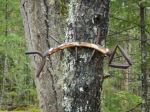
Smelt Bay picnic shelter
-
-
-
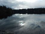
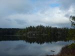
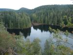
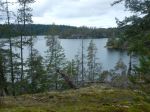
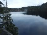
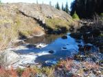
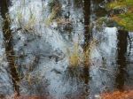
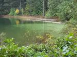
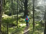
Kw’as Park – views of Hague Lake
-
-
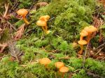
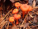
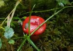
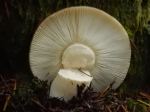
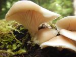
Oyster mushroom
-
-
The Swim Rock at Hague Lake
-
-
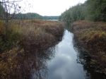
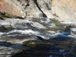
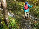
Looking toward the Narrows
-
-
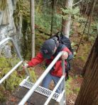
Ladder down the Rock Face
-
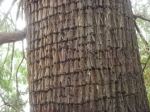
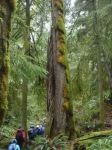
-
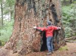
Survivor Fir
-
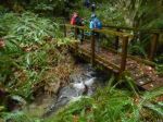
-
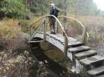
Bridge over the Narrows
-
-
Corral Root
-

-
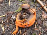
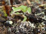
Pacific Tree Frog
-
-
-
Steam Donkey remains
-
-
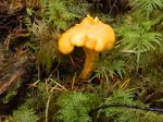
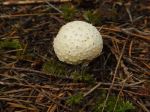
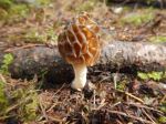
Morel mushroom
-
-
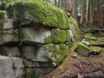
The Inca wall
-
-
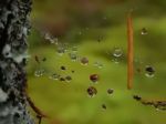
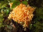
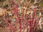
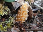
Northern Groundcone (Boschniakia)
-
-
-
Third night sunset
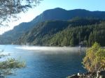
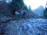
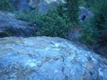
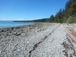
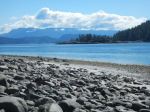
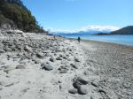
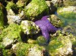
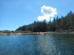
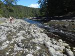
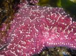
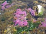
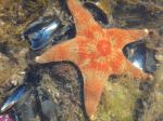
Day 4 – Wednesday night was cool and windy, but Thursday turned into a lovely day. A few headed back on an early ferry (which it turned out didn’t run until 3:50), while the rest of us hiked in the morning at Hank’s beach, catching the low tide, sunny facing shore and great views. We rambled over the rocky bluffs and explored some tidal pools. (3.2 km; 1.25 hours) We then headed over to Squirrel Cove for lunch on the beach. We carried the kayaks a long way to the water and paddled into the protected anchorage, through the islands, enjoying the intertidal life. We were happy to see that the purple sea stars are returning very well. We stopped at the creek into the Squirrel Cove lagoon and walked across to the lagoon. In addition to the excellent intertidal life, there were duck and chicks in the lagoon. (7.7 km; 2.25 hours) After ice cream from the Squirrel Cove store, most of us took the last ferry home.
-
-
Hank’s Beach
-
-
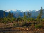
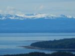
Looking toward Desolation Sound
-
-
-
-
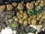
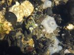
Sea anemone above water
-
-
-
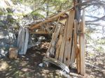
Tha Fort
-
-
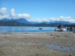
Squirrel Cove at low tide
-
-
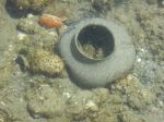
Moon snail case
-
-
Purple sea star
-
-
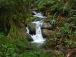
-
Creek from the lagoon
-
-
-
Seas star
-
-
-
Leather star
-
-
Sclupin
-
-
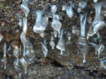
Sea anemone above water
-

-
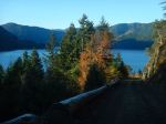
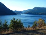
Views toward the mainland
There is so much to see and do on Cortes and we packed a lot into four days. The weather was kind to us, the low tides fascinating, and the spring growth lovely. We are so fortunate to have this nearby.
Debbie
Thanks to Norris and Bonnie for the photos