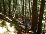
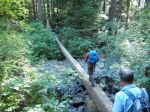
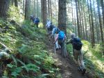
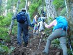
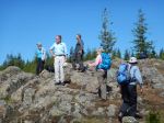
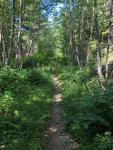
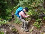
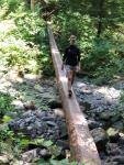
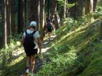
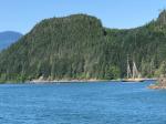
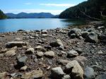
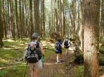
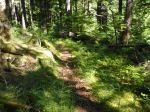
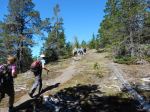
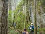
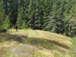
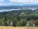
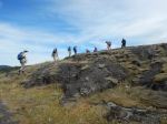
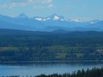
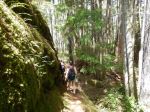
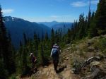
The weather forecast was for hot, hot, hot, and the Crest Mountain trail is south facing and up, up, up, so not everyone thought doing this hike as scheduled was a good idea. Nevertheless, three of us decided to do it anyway, although we did change the start time to the first ferry, which was a good move. The drive to the trailhead was very scenic in the morning light. The trail was cool in the open mature forest in the shadow of a ridge. We moved uphill quickly. In 4 km the trail gains 1,100 m elevation. It starts out as a nice engineered trail with switchbacks, but as it goes up it gets steeper until near the top it is just an uphill trail.
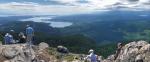
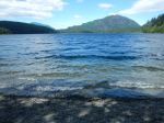
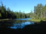
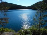
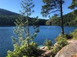
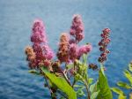
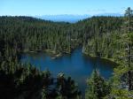
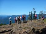
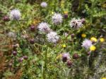
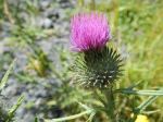
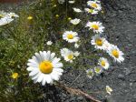
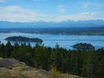
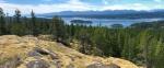
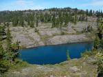
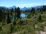
Views and wildflowers start to appear near the top of the climb and there is a small refreshing lake at the rim. From here on, the mountain top is relatively flat and alpine. There are small lakes and tarns, hills and ridges, and fantastic views all around. There is a first summit with a radio cone and a higher summit a kilometre or half an hour further on, with a suitable cairn, but the trails to it are indistinct.
The temperature when we left the trailhead was 17°C, the temperature on the summit was 20°C, with a light breeze, and when we got back to the car, it was 30°C. Going down this trail is just as hard and slow as going up due to the steep, slippery gravel. 14.3 km; 9 hours; 1,235 m elevation gain; the average incline of the climb is 21%, and in the steepest section it is 34%.
Norris
(click on photos to view larger)
-

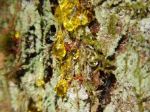
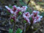
- Greenflowered wintergreen
-

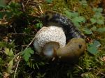
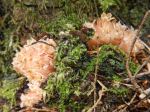
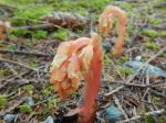
- Candystick
-
- Western Prince’s Pine
-
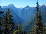
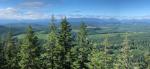
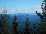
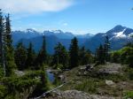
- Elk River valley: Colonel Foster (L) Puzzle (R)
-
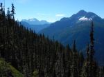
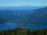
- Kings Peak (right)
-
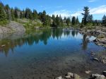
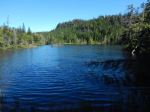
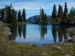
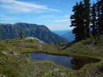
- Lake at the rim
-
- View of the second summit from the first
-
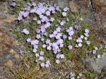
- Phlox
-
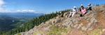
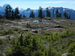
- Looking east
-
- Looking SE: Kings Peak (R)
-
- Looking south
-
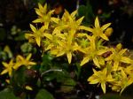
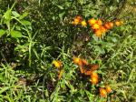
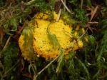
- Yellow sedum
-
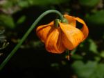
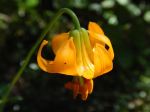
- Tiger lily