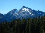
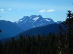
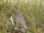
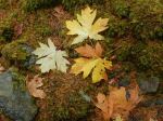
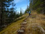
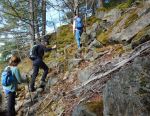
Hiking – Eagle Crag – 20 Sept 2017

Activity Hiking
Destination Eagle Crag
Date 20 Sept 2017, Wednesday
Trip Coordinator Debbie Quigg
Contact Info 285-3710 or debbie.quigg@ualberta.ca; please contact the coordinator in advance of the trip
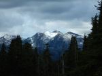
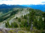
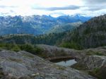
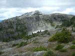
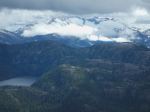
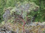
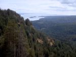
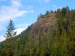
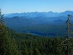
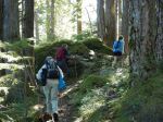
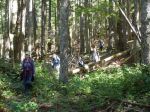
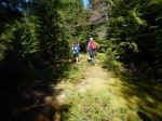
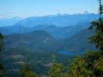
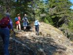
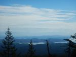
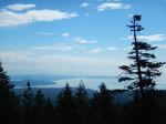
Description This hike begins on the south side of South Chinese Mountain.  It then follows a flagged route to a climbing wall.  The route goes around and up to the top of the climbing area.  This involves some big steps and minor scrambling. The effort is rewarded with great views.  About 3 hours.
Meeting Place Heriot Bay Store for car pooling
Departure Time 10:00
Difficulty
Moderate.  This is a short hike (5km) mostly without a maintained trail and one very steep section which may feel exposed.
Costs none
Trip limits none
Dogs? no
Notes: Bring lunch


Trip Report – Arnica Lake and Phillips Ridge – 21-23 August 2017

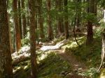
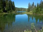
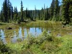
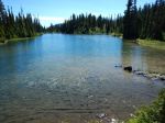
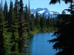
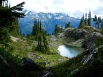
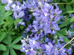
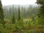
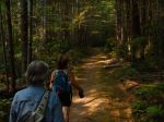
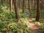
We had not done this hike before, so it was all new to us. We hiked up the trail to Arnica Lake from the trailhead at the Nystar Mine. The trail is probably the best constructed trail in Strathcona Park, with an excellent grade (100 m per km) up a very steep slope through a beautiful open understory forest, and many, many switchbacks. We barely noticed the solar eclipse in the forest. There are some lovely old growth trees and some waterfalls along the way. It was a hot day and the total elevation gain to the campsite is 850 metres, so it is a bit of work. (9 km; 5 hours) The Lake and the surrounding meadows are fabulous, although most of the wildflowers were past their prime. The parking lot had about 25 cars in it and there were lots of people on the trail, but we were the only ones in the campground the first night. Just after 7:00 pm, as it got very quiet, a helicopter landed on the lake shore and a SAR guy emerged to ask us if we had seen a lone hiker, reported overdue. We said that he had hiked through about an hour before, so hopefully that turned out well. The stars overnight were fabulous.

The next day dawned sunny, but summer clouds came in by noon. We had planned to hike to Mt. Phillips and expected to find a faint path leading to a cairned route. Even with a GPS track, it was obviously going to be a bushwhack and there was a black bear sitting where we wanted to go. So we opted for Plan B, which was to go up the other Phillips Ridge route which heads toward the Golden Hinde. This is an incredibly popular destination this summer and has lots of hikers. The route winds up through forest and meadow until it emerges on the rocky alpine ridge with great views in all directions. There are many lovely lakes along the way. Progress is a bit slow with some steep, loose gravel sections. Further on there are significant descents to multiple lakes as one nears the Golden Hinde. We went up along Phillips Ridge to 1600 metres before turning around and returning to camp at Arnica Lake. (14.8 km; 8 hours).

It rained quite hard at 8:00 the next morning, and we had breakfast and broke camp in light rain. We hiked back down the hill in increasingly sunny conditions. (8.9 km; 3 ¾)  This is a beautiful area and would be worth an extended trip.

Debbie

(click on photos to view larger)

Backpacking – Arnica Lake and Phillips Ridge – 21-4 Aug 2017

Trip Report – Nugedzi Lakes & Lookouts – 16 Aug 2017
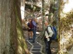
The five of us and a dog enjoyed all the lakes and lookouts along the Nugedzi trails.  We stopped at two viewpoints off the steep section on the old road, with views to the northeast which were somewhat hazy with smoke.  We then continued on to the Lily Pond and the viewpoint looking southeast. We hiked through the ancient forest arriving at Nugedzi Lake in time for lunch and a refreshing swim. Continuing on, we stopped at the viewpoints over Discovery Passage and then retraced our steps, making the loop to Little Nugedzi on the return.   Everyone enjoyed the hike and returned pleasantly tired, especially Joe, the dog.  11.5 km; 5½ hours.

Debbie and Julie

(click on photos to view larger)

Hike – Nugedzi Lakes &Views – 16 Aug 2017
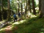
Trip Report – Savary Island – 7-9 Aug 2017
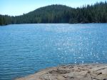
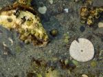
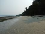
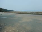
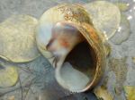
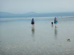
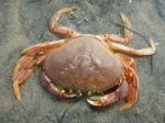
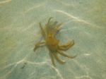
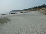
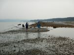
We took advantage of Cyndy’s generous offer to visit Savary Island. Getting there can be a challenge, but there are many ways to do it. We came by boat and anchored off Indian Point at the west end of the island. On Tuesday we walked along the beach taking advantage of a very low tide in the middle of the day. The heat of the day was reduced by the smoky haze clouding the coastal skies from inland BC fires. Savary is famous for its sandy beaches and shallow shoreline. Starting at Indian Point, we walked east appreciating the interesting intertidal life. We stopped at the spring, the mermaid rock, admired the burrowing anemone, sand dollars, crabs, snails and shells. After lunch on the beach, we crossed the island on trails in the undeveloped central lands. We passed by the disused airstrip and continued on to the south shore with sand dunes and high bluffs. We met Jen, whose family has had property on Savary since 1930. We made a side trip to the spirit tree before continuing along the shore where some families were enjoying the beach. After checking out an antique store, we returned to Indian Point on the Sunset Trail. Cyndy’s local knowledge made a huge difference in exploring Savary. 16.6 km; 6½ hours.

Debbie

(click on photos to view larger)

Multi-day trip – Savary Island – 7-9 August 2017

Backpacking – Arnica Lake and Phillips Ridge – 21 – 24 August 2017

 This trip may be postponed due to heat, visibility, air quality as well as forest fire danger.

Activity Backpacking
Destination Arnica Lake and Phillips Ridge
Date 21 – 24 August 2017, Monday to Thursday
Trip Coordinator Debbie Quigg
Contact Info debbie.quigg@ualberta.ca or 3710.  Please contact the trip coordinator by August 14th.
Description Either three or four days hiking and camping in Strathcona Park. Backpack from the Phillips Ridge trailhead up on a gradual trail with many switchbacks to Arnica Lake to camp (about 12 km; 845m elevation gain).  Day trip(s) up Phillips Ridge for views.
Meeting Place Ferry terminal to Campbell River
Departure Time 07:05 ferry
Difficulty Strenuous
Costs Shared fuel and ferry costs, $10/person/night for back country camping
Trip limits Three tents maximum
Dogs?  no
Notes: The first day will be very long with the ferry, the drive and a long up-hill day. It’s possible that we could camp at Ralph River the night before.

Trip Report – Kanish Bay & Darkwater Lake – 1 Aug 2017
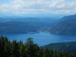
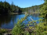
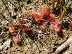
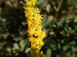
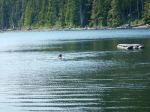
The hike to Mt. Becher was postponed due to super hot weather, poor visibility from BC forest fires, and ferry overloads. Instead we opted for a cooler, local hike to Kanish Bay and Darkwater Lake. After a long drive over rough logging roads, with a few stops for lake views and wildflowers, we parked and walked to Kanish Bay along a somewhat overgrown old logging road. It was pleasant and cool in the forest and there were still more wildflowers. Views of Kanish Bay don’t come easily, but we bushwhacked down to a gravel beach for lunch, views and a breeze.

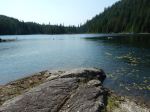
We walked back to the vehicle and drove toward Darkwater Lake. The walk is very short, through open understory forest, to the mossy peninsula. We sat on the rocks by the lake and Julie swam in the cool water.  4.0 for Kanish Bay; 1.4 km to Darkwater; 2½ hours total without the driving.

– Norris

(click on photos to view larger)

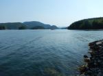
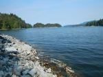
Hiking – Darkwater Lake & Kanish Bay – 28 June 2017
Trip Report – Newton Lake and Beyond – 26 July 2017
Seven hikers trekked from the Newton Lake trail parking lot to the Lake, where several people swam and we had a quick lunch, accompanied by the intermittent serenade of loons.   We then headed down the trail to Small Inlet, and over to Waiatt Bay.  We returned through the ‘portage’ branch,  which skirts a rather mysterious bubbling spring, then along the beach and back to the main trail. There was a bit of puffing and panting up the rather steep climb back to Newton Lake, where swimmers again enjoyed a cool break.  It was a lovely day, sunny and not too warm.  We met several other parties on the trail (busy for Quadra!).  Except for the steep bit on the return from Small Inlet to Newton Lake, the trail is good throughout, although there is a fair amount of loose rock between the parking lot and the Lake, which makes for tricky footing in parts.  14.8 km; 6¼ hours.

Darcy

(click on photos to view larger)

Hiking – Newton Lake and Beyond – 26 July 2017
Hiking – Mine Lake Bluff – 5 Sept 2017
 This trip has been postponed or cancelled.  

Activity Hiking
Destination Mine Lake Bluff
Date 5 September 2017, Tuesday
Trip Coordinator Julie Mellanby
Contact Info phone 3978.  Please contact the coordinator in advance.
Description We will leave from the parking area on the road near the Mine Lake access and walk to Camp Homewood.  From there the route ascends steeply the rocky bluff to the north of Mine Lake with great views (weather permitting).  A loop will be made by a trail which descends to the north and circles back to the trail just before Camp Homewood.  The route up the bluff can feel a bit exposed.  On the return, there will be the opportunity for a swim in Mine Lake.
Meeting Place Heriot Bay Tru Value parking lot
Departure Time 9:30
Difficulty moderate, and challenging if not comfortable with exposure
Costs none
Trip limits none
Dogs?
Notes: Bring lunch and swimming gear if you wish.

Hike – Nugedzi Lakes and Views – 16 August 2017
Activity Hiking
Destination Nugedzi Lakes and Views
Date 16 July 2017, Wednesday
Trip Coordinator Julie Mellanby
Contact Info 3978; please contact the coordinator in advance of the trip.
Description Hike up a steep, old logging road and meander through open forest to the lovely Nugedzi Lakes.  If the group wants more, there are side trips to viewpoints looking northeast, southeast and west.  Nugedzi Lake is a good swimming spot.
Meeting Place Heriot Bay Store for car pooling
Departure Time 9:30
Difficulty moderate
Costs none
Trip limits none
Dogs?  okay
Notes: Bring lunch


Hiking – Forbidden Plateau plus Nymph Falls – 1 Aug 2017

Postponed

Activity Hiking
Destination Mt. Becher
Date 1 August 2017, Tuesday
Trip Coordinator Debbie Quigg
Contact Info Please RSVP to qioutdoorclub@gmail.com or 3710 if interested; please contact the coordinator by Sunday in order to assure car pooling
Description The plan is to go to Mt Becher which is on the SE corner of Forbidden Plateau. The trail goes from theold Plateau Ski Lodge up to the sub-alpine summit (1390 m). There is a view down to Boston Lake and views over Forbidden Plateau, Comox Lake, Georgia Strait and the norther Gulf Islands from the top.  On the return, we plan to stop at Nymph Falls to admire the Puntledge River and swim (for those that want to).
Meeting Place Q Cove Ferry parking area
Departure Time Early enough for the 8:00 ferry
Difficulty
Moderate to strenuous;  about 13.5 km return, 580 m elevation gain, about 7 hours
Costs Shared gas and ferry fee
Trip limits None
Dogs? Dogs would need to be on leash in Strathcona Park
Notes: Bring lunch, gear for changes in weather, poles if you use them.  If you plan to swim at Nymph Falls, bring that gear too.