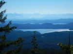
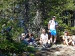
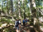
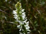
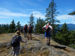
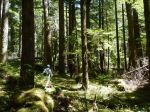
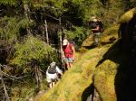
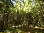
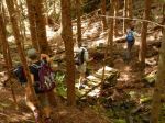
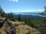
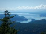
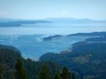
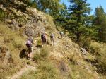
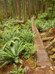
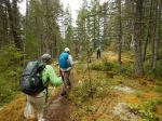
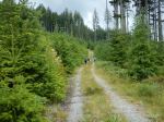
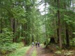
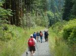
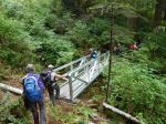
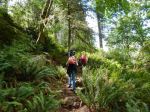
A beautiful day, perfect for hiking, 7 two-footed hikers and one very sanguine four-footed hiker took to the trail at 10 am. We stopped to admire the magnificent old-growth spruce at the start of the actual trail, certainly one of the largest, if not the largest, I have ever seen, even in Haida Gwaii. We encountered the first of the several metal bridges (and later, staircase) that have helped to change this trail designation from challenging to moderate. A pleasant walk through the lush forest, with one steep uphill, brought us to the first of several viewpoints. The view of the industry in Menzies Bay was not inspiring, but the exposed mud flats and eel grass were interesting, though we were too far away to see any particular wildlife. The trail continues around the bluff, offering occasional views south and east. A final stop at another viewpoint then the final staircase to the top of the bluff; the rock climb, up and down, pre-staircase, would have certainly been an interesting challenge. At the top we are treated to a perfect view of Seymour Narrows and the site of the former Ripple Rock. It was most interesting to see this historic site from the other side of the channel, most of us well familiar with the view from Maud Island on the Quadra side. We enjoyed almost an hour in the sunshine, having arrived at almost exactly slack, the Narrows were almost still. By the time we left, the boils and whirlpools of the rapidly increasing current were apparent, though only running then at about 4 knots, 1/3 of the way to the 12 knot max ebb that afternoon. On our return we passed several groups of hikers, presumably timing their hike to coincide with the max current. (I recommend we do the same for a return to Ripple Rock Trail, it would be well worth it.) We were back at the trailhead just after 2 pm. Flora of note were common camas still in flower at the first viewpoint and an earthstar beside the trail. An excellent hike, well worth repeating, even with the early morning start for some of us! 4 1/2 hours; 9.3 km.
Valerie
-
-
-
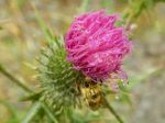
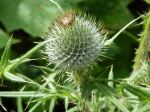
Thistle
-
-
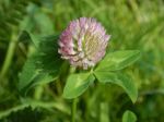
Clover
-
-
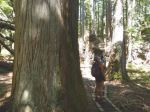
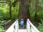
the big Spruce
-
-
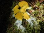
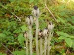
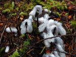
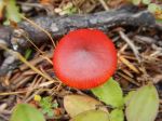
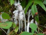
Indian Pipes
-
-
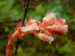
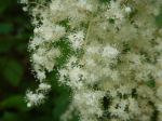
Ocean Spray
-
-
-
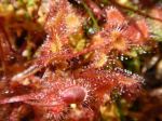
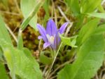
Common Camas
-

-
-
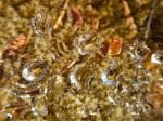
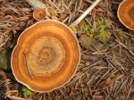
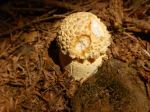
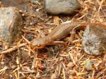
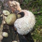
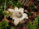
Earthstar
-
-
-
-
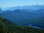
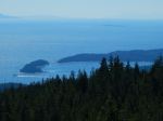
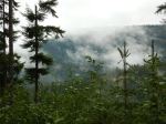
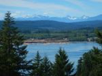
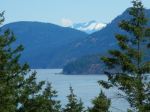
looking SE in Discovery Passage
-
-
-
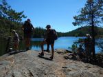
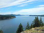
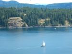
Seymour Narrows
-

-
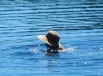
Loki
-
-
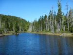
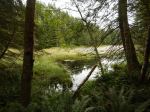
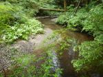
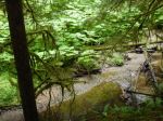
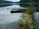
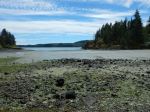
Nymph Cove
-

(click on photos to view larger)
Hike – Ripple Rock – 20 June 2016