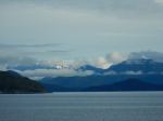
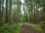
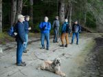
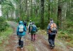
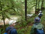
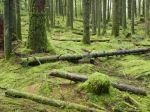
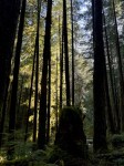
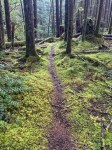
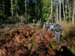
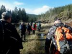
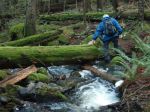
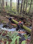
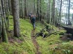
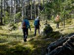
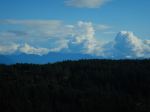
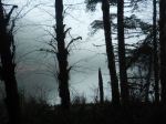
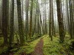
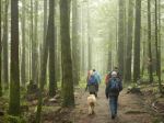
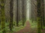
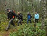
Snowden Demonstration Forest is a working forest, but also it’s very popular with trail bikers, who have built an extensive network of trails. Ten of us sampled some of those trails on a foggy day.
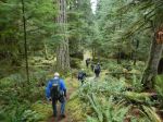
Starting at Lost Lake parking, to Mudhoney Pass 🟦, to Lost Lake trail 🟢. Lunch at the Lost Lake picnic shelter. Then TriMac 🟢, Riley Lake 🟦, and Oggies ⬥, to Riley Lake parking and finally a new trail (unnamed on our maps) back to the cars. (7.3 km; 3 hours)
The trail development is so fast, some of our maps and apps were out of date..
Norris
(click on photos to enlarge)
-
-
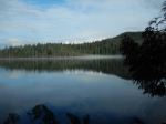
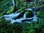
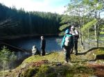
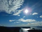
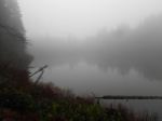
Lost Lake
-
-
-
-
-
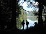
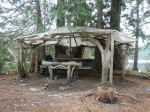
Lost Lake at the picnic site
-
-
-
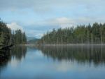
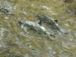
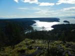
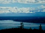
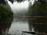
Riley Lake
-

-
Sleepy garter snake
Hiking – Snowden Demonstration Forest – 4 Dec 2024