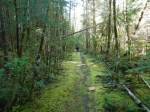
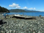
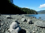
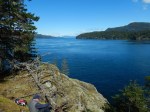
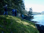
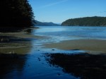
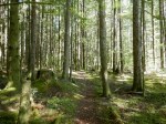
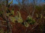
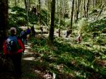
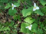
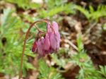
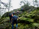
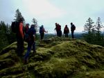
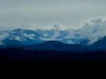
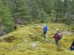
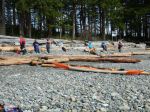
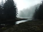
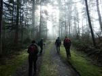
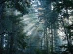
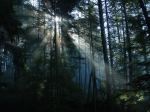
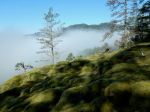
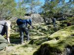
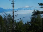
This hike had been re-scheduled several times due to poor weather. Finally, seven of us set out on a beautiful, sunny day only to find that there was dense fog on the east side of Quadra Island. Fortunately it was still lovely and coastal, and the fog burned off by noon. The Kellerhal family generously allowed us to visit Chauntaluf farm, their beautiful forest and trail system. We started out on Open Bay Rd, turning onto and climbing up Cliff Rd and Raven Crag. At the top we were above the fog, but Hyacinthe Bay was hidden. We continued through the open, undulating forest to Hyacinthe Pt, but between the fog and the light, cool breeze we didn’t remain long.
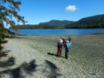
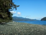
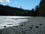
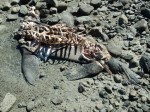
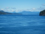
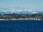
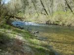
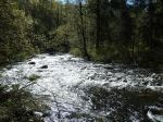
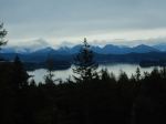
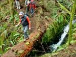
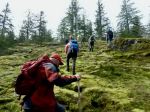
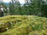
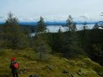
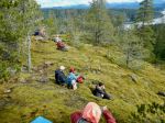
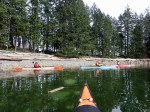
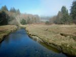
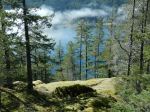
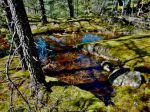
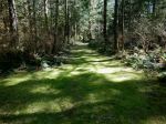
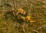
We headed back along the same route until we stopped for lunch on a sunny, mossy bluff. By the time we finished, the fog had lifted revealing peak-a-boo views of Hyacinthe Bay. We followed connector routes to Coast Mountain Rd and to the viewpoint, looking east toward the mainland. Continuing our loop, we took Nighthawk Trail and Big Pond Rd to the pond. The pond was very active with mating Rough-Skinned Newts, in pairs and in newt balls. It was fascinating, but unfortunately I cannot upload a video to this post.
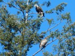
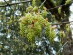
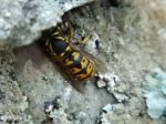
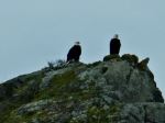
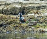
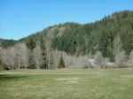
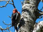
We returned to the farmland area and enjoyed the amazing variety of birds and bird songs before heading home. (6.6 km; 3.75 hours)
Debbie
(click on photos to enlarge)
-
-
-
-
-
-
-

-
-
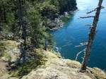
Hyacinthe Bay
-
-
-

-
-
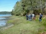
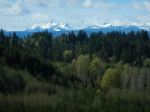
Coast Mountain Lookout
-
-
Big Pond Rd
-
-
Newt ball/mass in the pond
-
-
-
Red-breasted Sapsucker
-
-
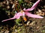
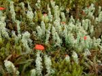
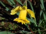
Daffodil
Hiking – Hyacinthe Point – 24 March 2024