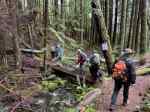
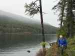
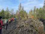
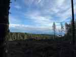
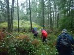
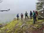
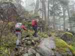
Nine hikers brought in 2026 on Jan 1st with a hike to South and North Chinese Mountains. The weather forecast had improved so while there was no precipitation, heavy fog created poor visibility on this normal “hike with amazing views” adventure.
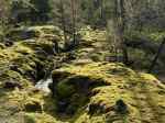
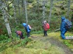
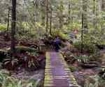
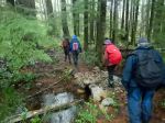
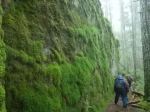
The past wind and rainstorms were noticeable as the trail was covered with small branches, and special care was required on the rocky bluffs. Yet the forest was lush and the moss a vibrant green, thick and healthy.
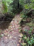
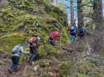
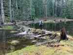
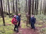
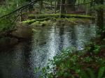
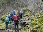
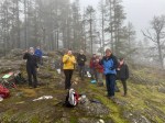
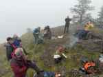
The group carried on through to the major lookout on South Chinese where two members had taken the time to start a small campfire on the bluffs to toast the new year and have lunch. We were blessed with no wind or rain but the cool air reminded us that it was winter. Once certain our small campfire was put out, we carried on along the trail to the creek crossing where the bridge has been replaced with a culvert to allow safe crossing so we could continue.
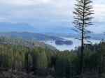
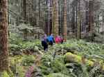
Once connected to North Chinese Mountain trail, a few headed back to the trailhead and the rest ventured up both the old and new lookout points before turning back to descend on the North Chinese Mountain trail to the parking lot. Overall, a fantastic hike to bring in the new year.
Distance 6.3km; time 3hrs 45min (including our long lunch break to share the beginning of 2026)
Louise
Thanks to Carrie, Les and Norris for the photos
(click on photos to view larger)
-

-
-
-
-

-

-
-
Toasting the New Year
-
-
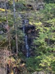
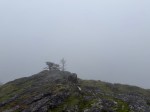
Foggy view
-
-

-
Lunch at the campfire
-

-

-
At the new culvert
Hiking – Chinese Mtns Loop – 1 Jan 2026