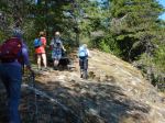
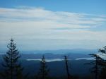
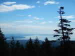
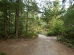
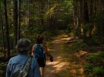
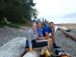
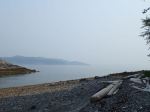
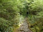
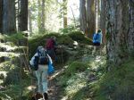
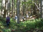
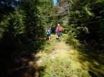
On a cool, clear, crisp fall day, six of us set out to do the hike around Mt. Seymour. The first leg was up the trail to Nugedzi Lake and it was a relief not to have the climb up in the scorching temperatures of the previous weeks. We stopped at the viewpoint near the top of the steep part and appreciated the smoke-free air again and the views of the mountains which had been hidden by smoke most of the summer. Not much snow left on them anymore.
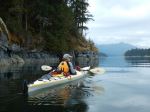
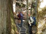
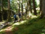
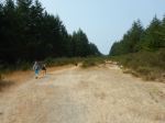
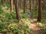
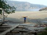
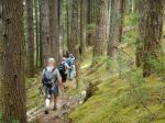
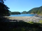
We had lunch at Nugedzi Lake and a couple pairs of feet were cooled off in the lake. Then there was a short bushwhack through a little salal and we joined a flagged route. No idea who flagged this route, but it is very pretty, going along the ridge and valleys through old open forest, then it makes a descent and joins an old logging road. The old logging road is easy walking, going past a couple of lakes, then it contours around the north side of Mt. Seymour. We stopped at several more viewpoints. Finally the logging road descends and meets the Granite Bay road and the cars we had placed there in the morning. 12.6 km; 6¾ hours.
Norris
(click on photos to view larger)
-
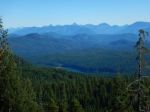
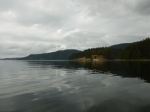
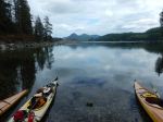
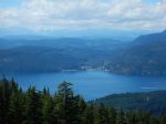
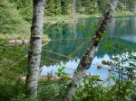
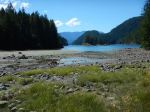
- Stramberg Lake and beyond


-
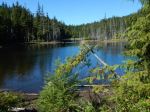
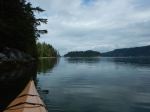
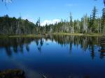
- lake west of Mt. Seymour
-
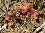
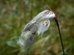
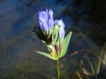
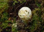
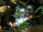
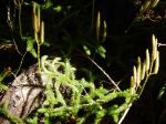
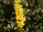
- Sundew
-
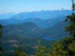
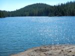
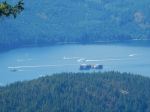
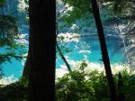
- Clear Lake and beyond
-
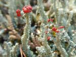
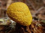
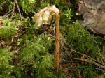
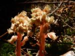
- British Soldier lichen