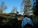
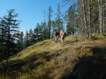
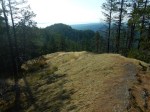
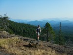
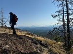
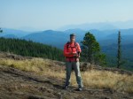
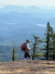
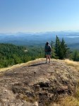
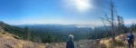
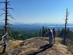
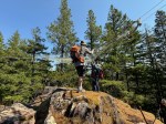
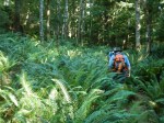
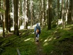
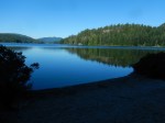
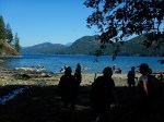
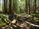
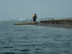
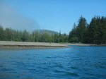
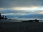
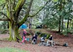
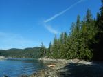
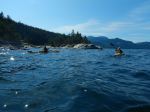
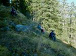
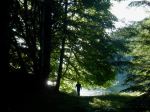
Day 1. Six of us launched from the boat launch at the Granite Bay Park. We paddle out of Granite Bay and across Kanish Bay to Orchard Bay, where we unloaded the kayaks at quite a low tide. We explored the area, set up the tents and had lunch before heading out again. The morning had been a bit overcast, but the afternoon was lovely. We paddled into Small Inlet and beached the kayaks at the peninsula where the trail comes down to the shore. We chose this site because the low tide was going to make it impossible to reach the end of Small Inlet. We hiked over to Waiatt Bay, which was already much quieter than in the high season. After a short break we hiked back and paddled back through the islets in Small Inlet. (14.3 km paddling and walking; 5 h) We gathered for dinner under the huge Big-Leaf Maple tree. With the sun setting before 8:00 pm, we were in the tents quite early.
(Click on the photos to enlarge)
-
-
-

-

-
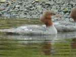
Mink
-
-
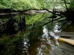
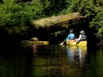
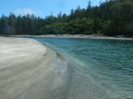
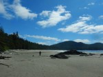
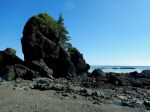
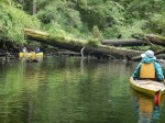
Small Inlet
-
-
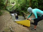
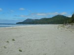
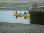
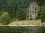
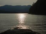
Returning to Orchard Bay
-
-
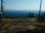
Sun through smokey sky
-
-
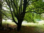
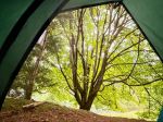
Big Leaf Maple
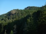
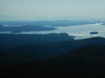
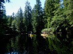
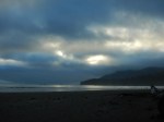
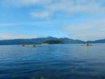
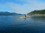
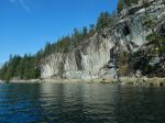
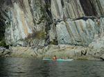
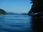
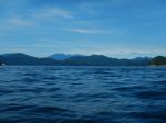
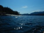
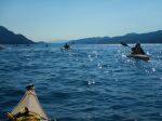
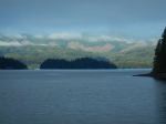
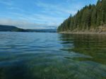
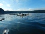
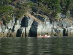
Day 2. After a leisurely breakfast, the morning fog was beginning to lift as we left shortly after 10:00. We paddled along the north shore of Kanish Bay against a light breeze pausing only to admire the big cliff with pictographs. With the increasing sunshine and benign conditions we carried on around the northwest tip of Quadra Island and into Okisollo Channel. We paddled a short distance beyond Metcalf Island and had lunch on the sunny, north-facing beach. On our return, we had a bit more wind and waves, which subsided as we turned downwind in Kanish Bay. Our route took us south of Nixon Island, then returning to Orchard Bay. (15.1 km; 5 h) We watched some wildlife in the Bay and had happy hour on the very small, shell beach waiting for the high tide, which came up to and under the boats. It was an exceptionally beautiful day. We visited the steep, mossy bluff to the east before again having dinner under the Maple tree. Some stayed up a bit later around the fire pit.
-
-
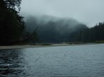
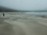
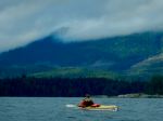
Morning cloud
-
-
-
-
-
-
-
-
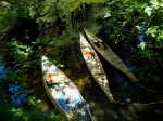
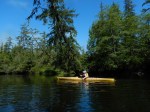
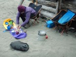
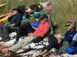
Lunch break
-
-
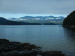
Looking down Okisollo Channel
-
-
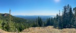
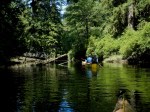
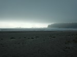
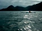
Looking west
-
-

-
-
At the NW tip of Quadra
-
-
Looking down Discovery Passage
-
-
Nixon Island
-

-
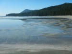
Happy hour on the beach
-
-
-
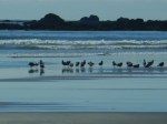
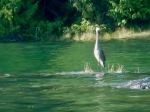
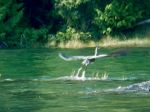
Great Blue Heron
-
-

-
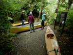
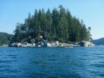
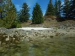
Day 3. Our final day was quite short as some had deadlines. We packed up, loaded the kayaks at a medium tide and paddled out to the eastern edge of the Chained Islets. After circling a few islets, we checked out the derelict house at the east end and the tiny islet with the white shell beach before heading into the inlet to Granite Bay and the boat ramp. (6.0 km; 2 h)
-
-
-
-
-

-
Chained Islet
-
-
-
White shell beach
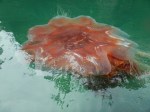
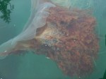
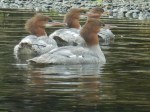
This was a great trip to a beautiful area in perfect conditions. We were fortunate to see some wildlife including multiple encounters with mink, harbour porpoise, harbour seals, and birds: Belted Kingfishers, Great Blue Heron, Surf Scoters, Short Billed Gulls, Glaucous Winged Gulls, Vultures, Bald Eagles, and Crows.
Debbie
Thanks to Louise and Norris for the photos
Multi-day paddling and camping – Kanish Bay and Beyond – 9-11 Sept 2025