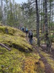
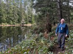
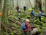
Six eager kayakers set out on a beautiful, sunny, spring day for our first group paddle of ‘25. For our first outing we were not too ambitious and were granted gentle conditions. However, the Len Rd shore access had its challenges, as usual – a very small beach beyond a log jam for our put-in; 200 m of beach to cross on our return at low tide.
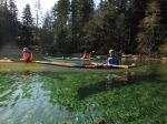
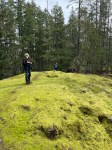
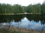
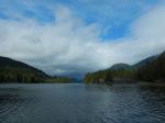
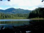
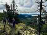
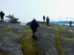
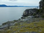
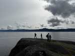
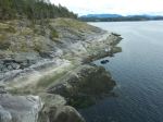
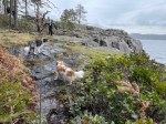
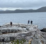
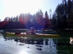
We were on the water at about 10:00 and paddled out, on calm waters, amid a flock of ducks (Buffleheads, Goldeneyes) fleeing our approach. We crossed the mouth of Hyacinthe Bay, and stayed close to the shoreline as we rounded Hyacinthe Point to enter Open Bay. A slight NW breeze rippled the water and we paddled halfway into the Bay before crossing to a group of rocky islands and then along the shore again. The tide was now low enough that we had to go around Valdez Point rather than picking a way through the rocky islets. The rock formations in this area are always fascinating to see close up. At this point two paddlers headed straight over to Breton Island and four of us continued on into Moulds Bay under the watchful eyes of a pair of eagles, one probably sitting on an egg or two, and a rest stop at a gravelly beach below a rustic home. A leg stretch is always welcome after an hour of paddling!
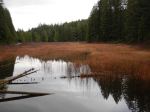
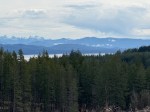
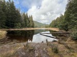
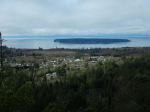
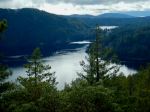
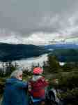
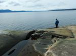
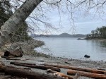
So as not to over-extend ourselves it was decided to head south through the small islands of the Breton group. A few Oystercatchers and Cormorants were sighted on the rocky outcrops. Then on to our lunch stop at the Breton Island “campsite”. It’s a nice sunny spot to relax and view the Salish Sea, from its “deep end”, south to the middle regions beyond Mitlenatch Island. No whale blows were sighted! The island has been closed to camping since becoming the Breton-Whitbridge Reserve under the BC Nature Trust in 2021. Visit https://www.naturetrust.bc.ca/news/a-treasured-island for more information.
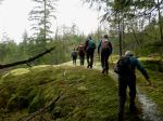
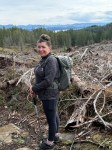
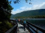
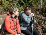
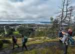
After lunch we set our sights on Turtle Island and started on the final leg. With about an hour remaining to a very low tide it seemed unlikely that we’d get around Turtle, and headed to the take out instead, which was now 200 metres from the parked cars! The portage to the headland was made much easier with four sets of kayak wheels which worked quite well on the firm, sandy beach. Everyone was glad to have finally got out on the water after a winter of cancelled paddle outings.(13.2 km; 4 hours)
Vic
(click on photos to enlarge)

-
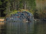
- Goats on the bluff
-
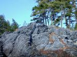
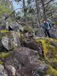
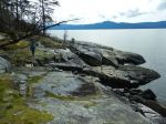
- Folded rock
-

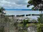
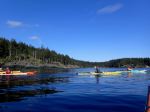
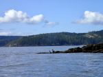
- Crossing Open Bay
-
- Eagle’s nest
-
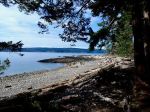
- Beach on South Breton
-

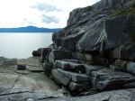
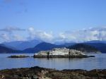
- Breton Island
-
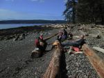
- Lunch break