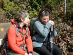
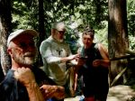
The 2025 multi-day hike in Powell River was exceptional based on the weather forecast predicting rain, rain and more rain. Yet, seven enthusiastic hikers deciding to go regardless of the forecast and we were rewarded with three great days of hiking.
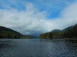
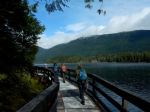
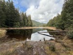
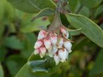
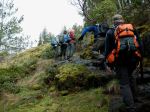
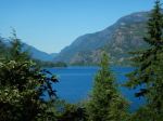
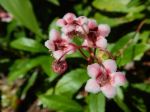
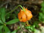
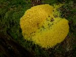
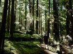
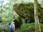
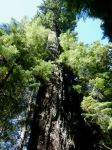
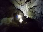
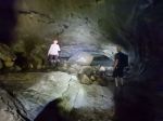
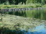
Friday: The group travelled to Powell River on the 10am ferry and wasted no time in exploring the trails. On day one of a three-day hiking getaway in Powell River seven of us hiked the Lost Lake Loop which is accessed from Inland Lake Provincial Park. The loop is a small part of the Sunshine Coast Trail, which winds for 185 km and can be accessed via potholed logging roads in many locations. The hike was 8 km through a lovely sun dappled mossy forest with amazing cedar trees, and nice lake views. The trail was easy on the knees and soft on the feet, and the lake showed evidence of a healthy beaver population.
(click on photos to view larger)
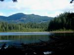
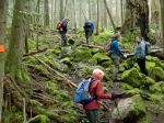
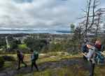
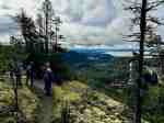
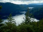
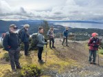
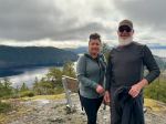
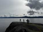
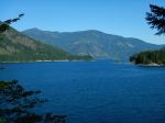
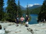
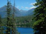
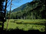
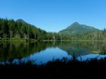
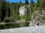
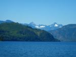
Saturday – Our second day had the best weather forecast, so we planned TWO hikes. The first was Scout Mountain. We started on Sutherland Avenue to get to the Sunshine Coast Trail, and then we went southeast. It was a gentle climb through mossy trees and some open views until we reached the summit trail. We went counterclockwise and we’re so glad we did! There’s a steep climb before the summit. There was a bench to sit on at the top, and we were rewarded with amazing views in the sunshine. From the top, you can see wide-open views of Georgia Strait north and south, as well as Powell Lake. After a short break, we descended and took in more inspiring scenery. It was 5.5 km and 2¾ hours.
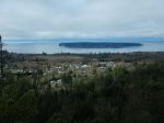
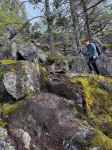
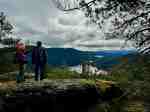
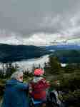
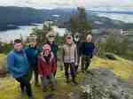
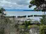
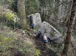
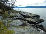
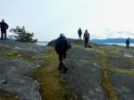
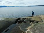
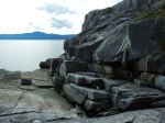
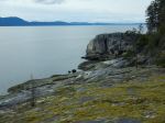
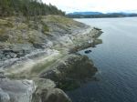
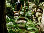
Next, after lunch, we explored Stillwater Bluffs, which is all on private land. The start of this trail is at a private residence, so you need to park back by the mailboxes. This is a gentle walk through the forest to the ocean. Here you can enjoy the ocean views before continuing on to the many open bluffs and breathtaking views north and south, or west to Texada Island. Partway there is a stone throne to sit on and enjoy the views. You go up and down many times on large rock formations along the coast, and then you return through the trees. It was 4 km and 1¾ hours.
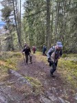
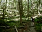
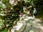
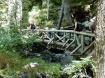
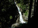
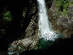
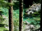
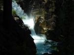
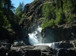
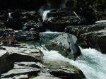
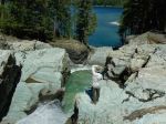
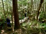
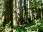
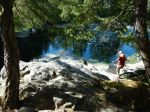
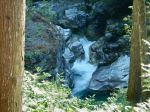
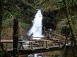
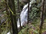
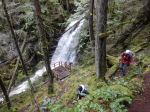
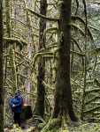
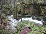
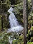
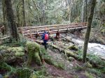
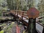
Sunday – Day three we explored Blackwater Creek Trail which was a well groomed, excellently marked, beautiful forest hike to Kelly and David Lam Falls. There are gentle inclines and declines along this shaded hike. The trail features flush creeks, greenery, and a few picnic tables as well as a wooden observation deck at the waterfall. Part of the trail is called Green Road with is amply named for the lush moss, trees and undergrowth. We decided to start our hike in the early afternoon to allow the weather pattern to pass, and were rewarded with only a slight mist. Overall, we travelled 6.5 km and 2½ hrs on this creek trail.
-
-
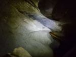
Kelly Falls
-
-
-
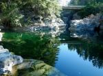
David Lam Falls
-
-
-

-
-
-
-

The multi-day trip was a success thanks to everyone in the group that either helped with planning the hikes, connecting with the information center, taking pictures, prepping meals, creating parts of the trip report, but most importantly working together as a coherent group.
Louise and the team
Thanks to Jim, Carrie, Les, Norris and passing strangers for the photos
Multi-day Hiking – Powell River – 21-24 Mar 2025