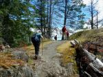
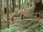
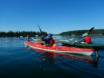
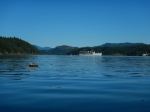
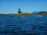
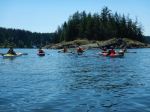
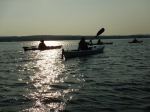
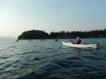
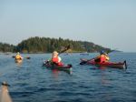
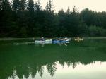
Ten members of the Club gathered at the Quathiaski Cove boat launch at 1830 on a beautiful summer evening. Eight paddlers launched their kayaks and we left two onshore as they had no paddles!
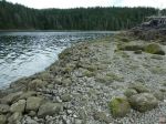
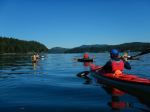
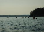
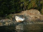
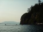
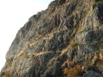
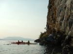
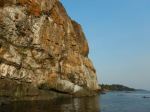
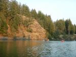
On calm seas we set out on a flood tide for the green blinker by the seal rocks near Grouse Island. As the currents and very light wind presented no concerns we paddled out of the Cove and along the length of Grouse Is. and then across the gap to the north shore of Q Cove. The Discovery Passage currents were pretty benign so we continued on to the cliff to view the now deserted Guillemot (a small jet-black seabird) colony and its “whitewashed” rockface. As we turned to the south, we could feel the tide carrying us in that direction and we headed back into the Cove, over a boulder field, under the watchful eye of the local eagles.
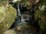
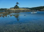
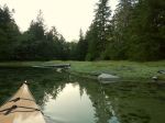
With the sun getting lower in the smoky skies, the golden hour was upon us as we rounded the corner into Unkak Cove and paddled its very shallow waters. The many crabs and small fishes (sculpins?) scurrying along the bottom were just a foot or two below us. The rising tide allowed us to get very close to the end of the cove where we turned 180 and headed south once again.
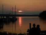
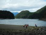
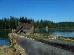
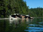
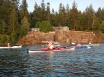
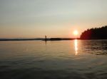
We left Unkak Cove and paddled past the numerous docks and buildings adjacent to the old ferry landing and then crossed back over to Grouse Island amidst the raucous screeching of an eagle family with recently fledged eaglets. After viewing the all but abandoned residence and its dilapidated sign it was time to head to the take out. With the red ball of sun at our backs and a beautifully lit Cove ahead we cruised in to the boat launch mere minutes before a stunning sunset. (2.9 NM, 1.75 hours)
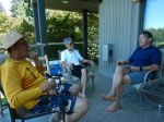
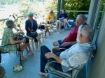
This idyllic summer evening paddle ended with a social hour with snacks and beverages and friendly conversation around a propane campfire at the Gladish residence.
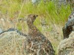
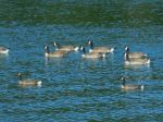
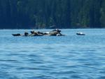
Wildlife: Eagles, Oystercatchers, Kingfisher, Great Blue Heron, Crows, Harlequin Ducks, Harbour Seals
Vic
Thanks to Vic and Norris for the photos.
(Click on photos to enlarge)
-
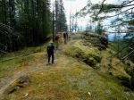
- Paddling out
-
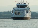
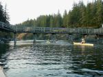
- The ferry arriving
-

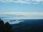
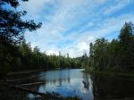
- Looking in to QCove
-
- The north bluff
-
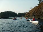
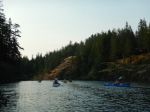
- Entering Unkak Cove
-
- Calm and shallow
-
- Re-entering QCove
-
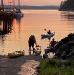
- Back at the boat launch