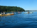
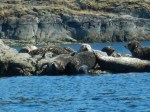
Nine people gathered at my place for a easy paddle and social on a sunny summer day. Because of the driveway, launching from here is a challenge and the tide was very low. Once in the water we paddled north to check out all the new toys at Camp Homewood. It seems they have acquired many new and different types of boats. Then on to Seascape, now called Jade Resort, to find that the sunken barge had finally been cleaned up. Unfortunately, at the taxpayers cost. On past Gowlland Resort we turned and went to the Vigilant Islets for a quick stop and to stretch our legs. On our return, there was a colony of seals on Wren Islet that were enjoying the warm sunny day. We then paddled between Fawn Islet and Stag Island to return to my home for cold beverages and appetizers provided by everyone. About 5 km and a 2 hour paddle.
Les
(click on photos to enlarge)
-
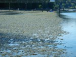
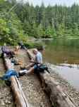
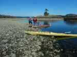
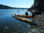
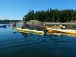
- Launching at low tide

-
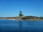
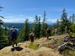
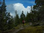
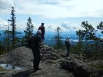
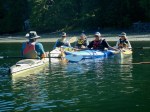
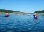
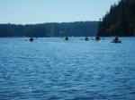
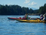
- Arriving at Vigilant Islet
-
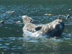
- Harbour Seal on a rock
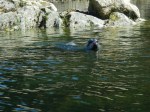
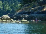
-
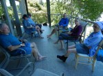
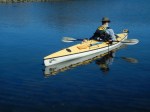
- On the deack