What could go wrong? Well, first there were 13 people who registered to come on this trip, but only four were able to come and three of them live on Gowlland Harbour. The day was beautifully clear and a perfect temperature. We paddled over to Gowlland Harbour Resort, who very generously allowed us to launch from their property. There was a slight breeze from the northwest, which was just a bit of extra work. By the time the last person was in the water, however, it seemed as if the wind was sufficient to reconsider the planned route and so instead of paddling over to Gowlland Island, we went upwind into North Gowlland. We got out on a beach there for a short break, even though we had not paddled for very long. In the 15 minutes or so that we were there, the wind increased noticeably so the there were small white caps. So we once again changed our plan to explore the upper reaches of North Gowlland Harbour and instead crossed over to Vigilant Islet. The bay behind the island was very sheltered and the tide was rapidly ebbing so there was lots of foreshore. A few people rambled around the Island, admiring the flowers and the views before returning to the kayaks. We had a brisk paddle back over to the north shore of Quadra Island, but were then somewhat sheltered. We poked into the inlet east of Gowlland Harbour Resort before heading back to the launching beach. We had lunch on the rocks there, enjoying the sunshine, and the view. In our fairly short paddle we saw a mink, river otter, lots of Harbour Seals, a few porpoise or dolphin (which may have been Pacific White-sided Dolphin), deer, Bald Eagles, Canada Geese, Turkey Vultures, and Great Blue Heron. It was a lovely day, but not the day we expected. (From east Gowlland Harbour 7.4 km; 4 hours with lunch and two stops)
Debbie
(click on photos to enlarge)
-
-
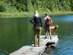
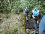
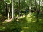
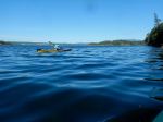
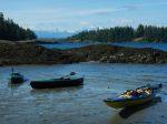
The launch site
-
-
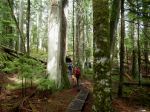
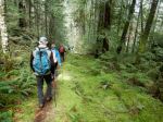
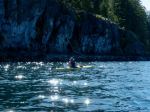
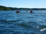
Heading out in perfect conditions
-
-
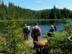
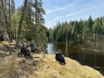
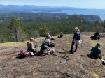
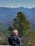
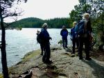
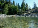
Short beach break
-
-
-
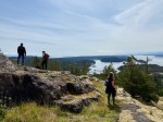
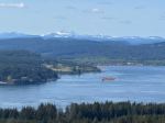
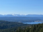
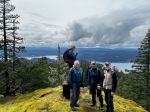
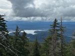
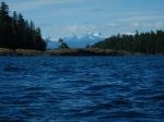
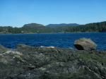
Vigilant Islet and Mt. Alexandra
-
-
-
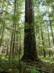
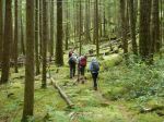
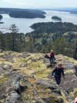
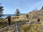
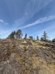
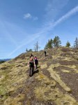
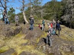
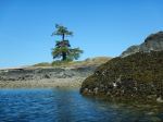
Vigilant Islet
-
-
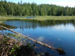
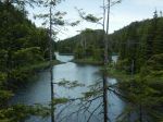
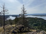
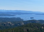
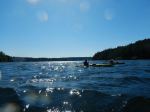
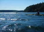
View into North Gowlland Harbour
-
-
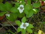
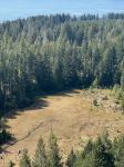
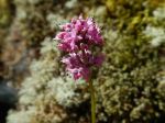
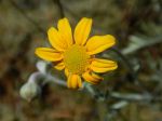
Sea Blush
-
-
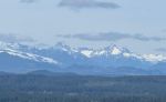
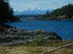
Steep Passage and Mt. Alexandra
-
-
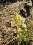
Arnica
-

-
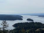
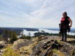
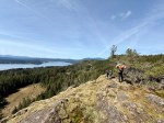
View from Vigilant into Gowlland Hbr
-
-
-
-
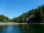
Inlet east of Gowlland Habour Resort
-

-
Vultures and Geese on the beach at low tide
Kayaking – Gowlland Harbour – 14 May 2025