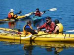
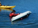
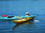
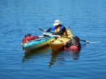
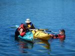
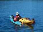
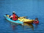
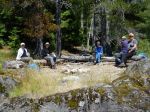
On June 29, nine club members fell out of their kayaks – repeatedly. But with demonstrations and coaching by trainer Douglas Taylor, assisted by his wife, Penny, everyone got back in – repeatedly.
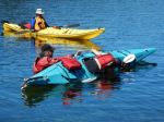
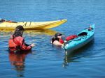
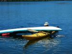
Organized through Coast Mountain Expeditions, the session provided an introduction to assisted kayak rescue and self-rescue for those without previous training, and a refresher and practice for more experienced paddlers. Participants took part in one of two 3-hour blocks, which included a review of kayak safety requirements, discussion of how to rig kayaks to facilitate rescue (e.g. good deck lines rigged loosely enough to grab easily), and a brief demonstration of bracing technique. Most time was spent, however, on the proper way to “wet exit” (after working up the nerve to voluntarily turn upside down….), and to safely and efficiently re-enter the boat either with the help of another kayaker, or with the use of a paddle and paddle float as an outrigger. Doug provided a handout on the steps in self- and assisted rescue which will soon be available in digital form for any club member who wishes one. Please contact Darcy at darcm@telus.net to request your copy.
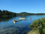
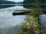
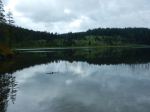
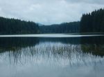
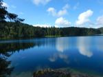
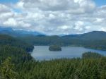
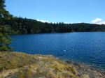
The weather and water conditions at Mine Lake were perfect – warm air and water, sunny and a slight breeze – great for training, but probably not the most likely conditions for a real capsize. Doug emphasized the need to practice rescue techniques regularly so that the kayaker develops ‘muscle memory’ that will be there when needed for the real thing.
Participants agreed that annual training and practice are vital both for individual paddlers, and to build a cohort of club members with confidence in each other’s skills and knowledge.
Thanks to Lannie at Coast Mountain and trainers Doug and Penny for a very worthwhile day.
Darcy and Valerie
(click on photos to view larger)
Kayaking – Paddle Training – 29 June 2016