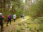
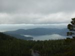
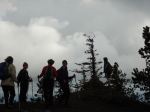
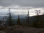
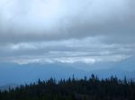
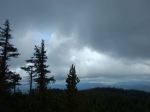
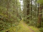
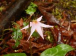
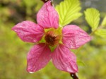
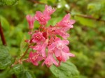
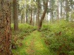
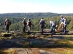
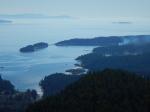
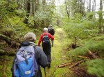
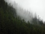
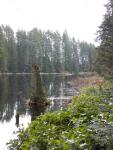
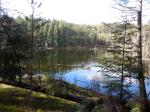
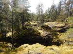
Four hikers and one dog set off on the first sunny day we have had after weeks of heavy rain and gloomy skies. The trail was less sloppy than we had feared, which was welcome surprise. The sun filtered through the trees and the moss was a glowing neon green – almost too bright to look at! We made a loop down “Dick’s Ride” to check out the beaver pond with a collection of Mallard and Greater Scaup bobbing about on the calm water. Then we climbed back up the hill to get out on the mossy bluffs and into the glorious sunshine. Our lunch spot was a rocky outcrop with a view back toward Gowlland Harbour. As we ate, a group of wolves started to howl on the ridge to the south-west of us, and they continued their chorus for about twenty minutes as we started our descent – lovely!!
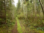
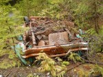
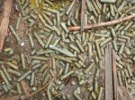
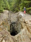
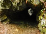
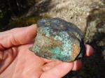
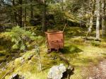
This section of Silk Stocking skirts the old copper mining area, now inactive for 60 to 70 years. There are bits of machinery still around and in some spots the rock has the classic bright green colour of copper ore. It is impressive how much the land has recovered from the scarring of mining activity – moss and young growth now covers the seams where ore had been taken out. It is a gorgeous section of the trail and hopefully will not be devastated by mining activity again.
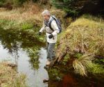
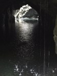
Our last treat was a view of two Hooded Mergansers on the body of water at the base of the ridge. Then a twisty section of trail along Little Black Dress returned us to our starting point with almost dry feet.
Bird list for the day:
Harlequin Duck
Greater Scaup
Mallard
Hooded Merganser
Sooty Grouse
Bald Eagle
Pileated Woodpecker
Common Raven
Northwestern Crow
Golden-crowned Kinglet
Chestnut-sided Chickadee
Pacific Wren
American Robin
Spotted Towhee
Dark-eye Junco
Song Sparrow
Kathryn
-
-
Beaver Pond (Wood Duck Lake)
-
-
Copper ore
-

-
Mark and Luna listening to wolves
-
-
Merganser pond
-
-
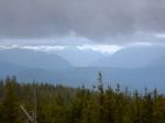
Mine area – Gowlland Hbr beyond
-
-
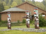
Mining equipment
-
-
Old mine seams
-
-
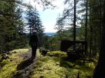
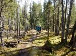
Walking in sunshine
(click on photos to view larger)
Hiking – Bike Trails – 17 Feb 2016