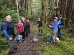
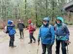
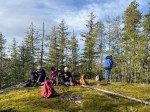
It didn’t go exactly as planned, but this experiment in early season camping and hiking went well, none the less. The official days were spared serious rain after postponing the event by one day. Two campers came a day or two early, but most arrived on Wednesday. Nine participated all together, on differing days.
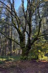
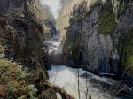
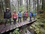
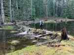
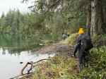
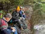
Wednesday – We began with a visit to the Englishman River falls in the provincial park. There was lots of water in the River and the trails were in good condition. The sun poked out for us. We started at the upper bridge where the broad river squeezes into the narrow crevasse gradually broadening out. We took the trail down to the lower bridge to see this change and then hiked back up in a loop. We took advantage of the covered picnic shelter for lunch.
(click on photos to view larger)
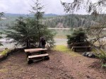
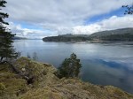
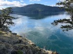
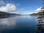
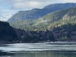
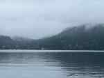
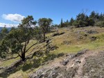
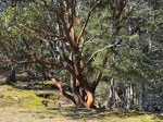
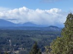
After lunch we headed toward Nanoose for a hike up Notch Hill. This was a lovely walk through stands of arbutus and Garry Oak. As we climbed we had views of Nanoose Bay and the Vancouver Island mountains, though the clouds were down on the mountains. We stopped at the Rusted Rake Brewery on the way back to the campsite. After dinner we enjoyed Allan’s campfire.
-
-
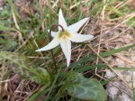
Fawn lily
-
-
-
-
Arbutus
-
-
-
-
Nanoose Bay
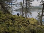
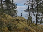
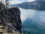
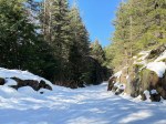
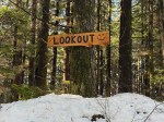
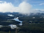
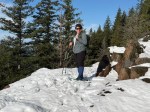
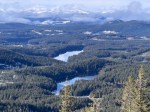
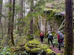
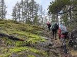
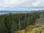
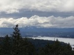
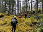
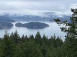
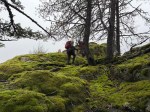
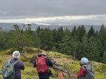
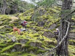
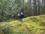
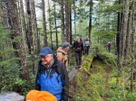
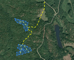
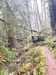
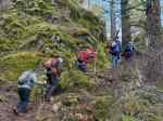
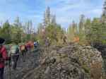
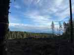
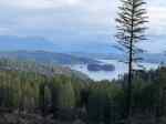
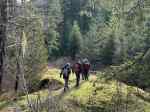
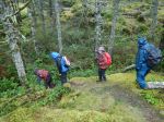
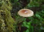
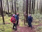
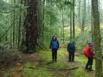
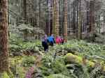
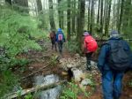
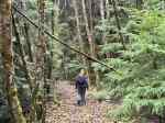
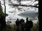
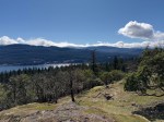
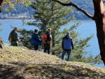
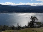
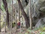
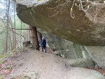
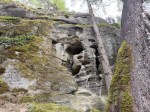
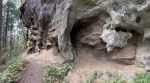
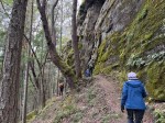
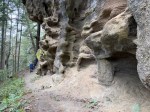
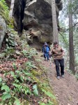
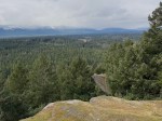
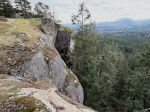
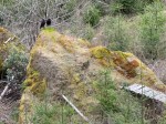
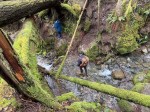
Thursday – The weather forecast had improved by morning so we added Little Mountain to the itinerary, not knowing a great deal about it. We started out on fairly predictable bike trails, which also welcomed hikers and horses. As we went further, the forest was filled with impressive boulders. After climbing to the shoulder of Little Mountain we followed a trail below the cliffs with fascinating sculpted rocks. We made our way to the lookout next to the communication towers for the view toward the Vancouver Island mountains, which were still covered by clouds.
-
-
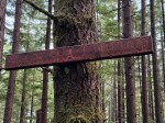
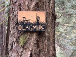
Trail Sign
-
-
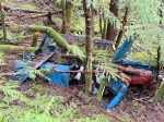
Boulder field
-
-
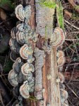
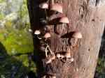
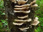
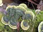
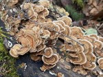
Turkey tail fungus
-
-
-
-
-
-
-
-
-
View from the lookout
-
-
-
Turkey Vultures waiting for lunch
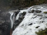
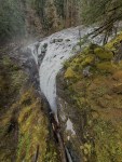
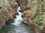
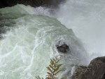
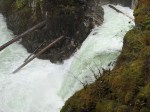
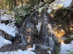
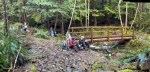
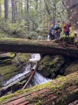
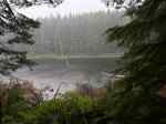
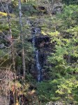
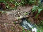
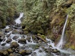
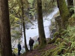
We next went to Little Qualicum Provincial Park to see those waterfalls. We made a loop, heading upstream to the upper falls, crossing the river and walking downstream for the remaining views. The trails and viewpoints are very well done and the waterfalls were impressive. From there we returned to the vehicles and visited the Mount Arrowsmith Brewery on the way back to camp. Allan once again had a great campfire.
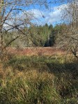
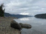
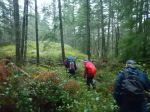
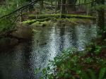
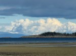
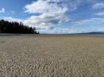
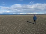
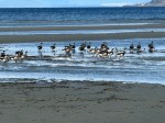
Everyone explored Rathtrevor Beach Provincial Park on their own. The trail along the shore, the mature forest, the expansive beach at low tide, the views of the Salish Sea, and the brants were all very photogenic.
-

-
-
-
-
-
Brants visiting in spring
-
-
Non-native rabbits
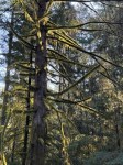
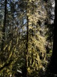
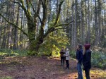
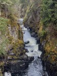
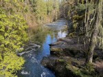
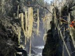
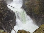
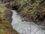
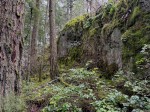
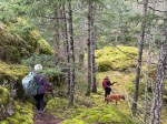
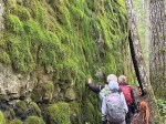
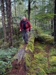
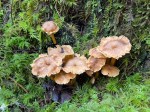
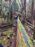
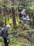
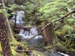
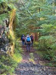
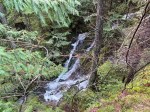
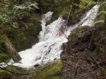
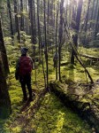
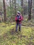
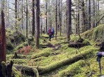
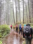
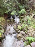
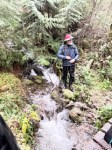
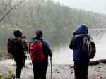
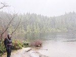
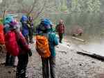
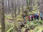
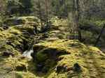
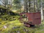
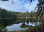
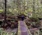
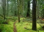
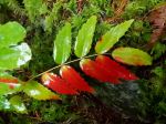
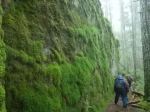
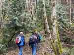
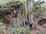
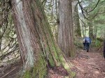
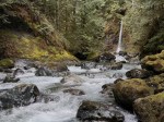
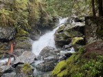
Friday – Everyone broke camp and headed out on Friday morning. Most of us drove to Rosewall Creek Provincial Park and from there hiked up along the river to the falls. This is a lovely walk through a mature rainforest with lots of moss and some very large trees. The falls were very impressive.
-
-
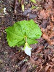
Emerging trillium
-
-
-
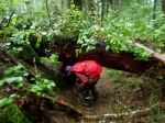
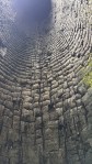
Inside a burnt cedar
-
-
-
-
-
We saw three great waterfalls, two view hikes to interesting geological and ecological areas, and one exceptional beach. It was really quite cold in the morning and evening though and we were very lucky to avoid serious rain.
Debbie
Thanks to Les and Norris for the photos
Multi-day Hiking – Beaches and Waterfalls – 25-27 Mar 2026