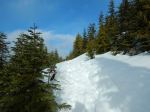
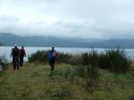
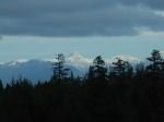
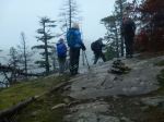
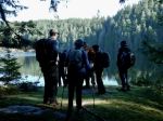
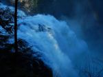
Seven hikers set out on a frosty but bright and sunny day to see the massive amount of water that is coming over Elk Falls due to the atmospheric river and the huge snow melt last week. There is a lot of work still going on at the dam, upgrading it for the possibility of an earthquake. They are now filling in the old trench, where the three huge aqueducts were, with dirt and gravel from work on the dam.
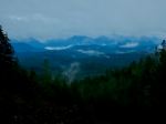
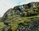
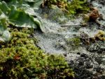
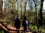
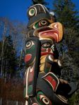
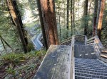
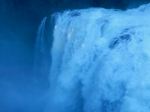
After walking across this area, we turned right and hiked down the long hill to the old powerhouse. There is a nice viewing spot there with totem poles. This did make for quite a few stairs and a long hike back up the hill though. We then walked down the multiple stairs to the suspension bridge. The amount of water coming over Elk Falls is phenomenal. We were the only ones there so we ate lunch on the far side of the suspension bridge in the nice warm sunshine. Afterwards we went back across and down to the viewing platform right in front of the falls. There was a huge amount of mist being churned up by all the water coming over the falls.
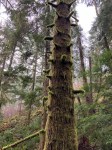
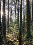
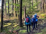
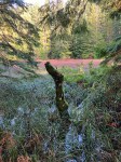
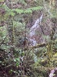
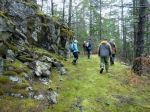
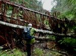
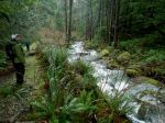
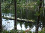
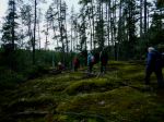
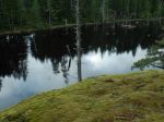
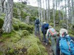
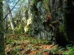
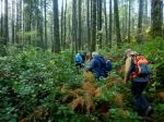
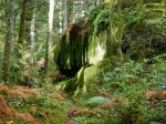
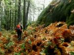
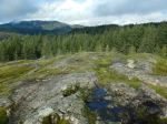
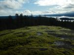
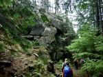
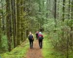
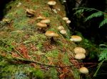
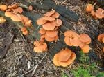
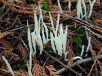
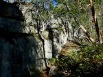
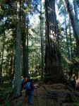
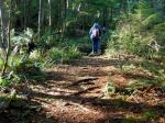
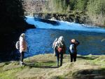
We then proceeded to do a loop through Elk Falls park. We went through the old growth and then down to Moose Falls and followed the trail around to the old viewing platform. There were a few trees down on the trail that we had to crawl over and under. The view from this platform was very good as well. After this we proceeded back to the vehicles. 5.8 km; 2½ hours.
Les
Thanks to Les, Bonnie and Norris for the photos
(click on photos to view larger)
-
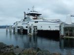
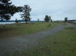
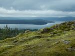
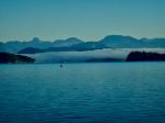
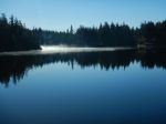
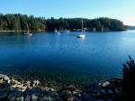
- View on the ferry
-

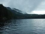
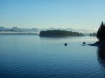
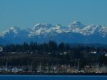
- The Campbell River

-

- Elk Falls from the bridge
-

- The river below

-

- Viewing platform
-
- Elk Falls from the platform
-
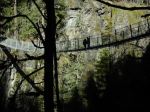
- The suspension bridge
-
- Moose Falls
-
- Elk Falls from the old viewpoint
-

- Spray from the falls