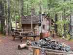
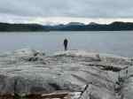
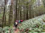
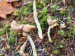
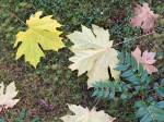
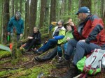
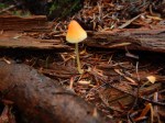
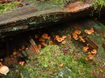
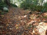
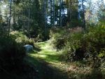
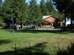
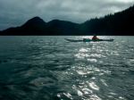
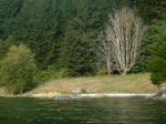
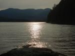
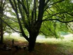
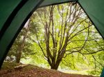
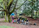
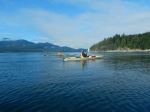
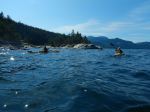
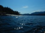
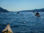
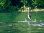
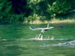
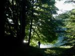
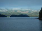
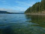
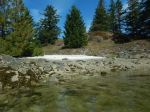
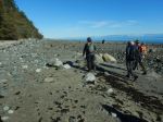
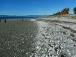
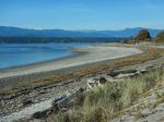
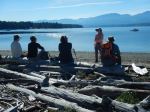
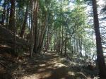
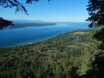
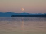
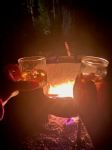
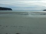
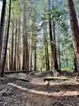
Sunday: Seven of us went straight from the 10:00 ferry from Buckley Bay to the Morning Beach trailhead to take advantage of the relatively low tide, and walk to Tree Island (aka Sandy Island). We descended the stairs on the east side of Longbeak Point and walked north along the shore and then across the sandy flats to Tree Island. It was a perfect, sunny day. We walked across the wooded area for the view north before heading back. We hurried a bit, not wanting to be too late with the turn of the tide, but there was no problem and we could have taken more time. We had lunch once we returned to Longbeak Point on Denman and then continued to the trailhead. (7.5 km, 3h) We went to Fillongley Provincial Park and set up our campsites in this popular park on Lambert Channel. Several people explored Denman a bit more and visited Chickadee Lake looking for the best swimming spot. (2.25 km, 45m). The evening was cool and the group gathered around a fire for happy hour and later for dessert. The moon was nearly full as it rose over the Salish Sea.
(click on photos to view larger)
-
-
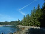
Morning Beach
-
-
-
Looking east
-
-
-
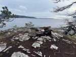
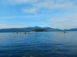
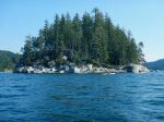
Arriving at Tree Island
-
-
Looking south to Denman
-
-
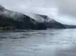
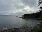
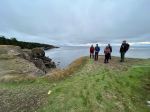
The beach on Baynes Sound
-
-
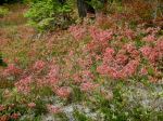
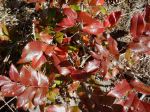
Oregon Grape
-
-
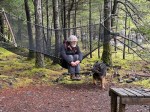
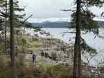
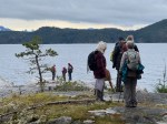
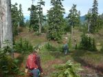
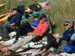
Lunch break
-
-
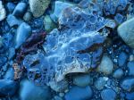
Seaweed
-

-
-
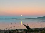
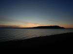
Moon rise
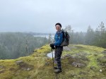
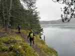
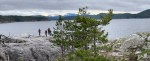
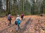
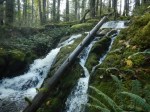
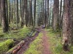
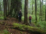
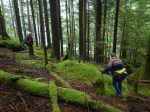
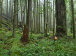
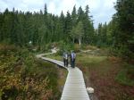
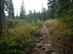
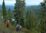
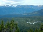
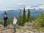
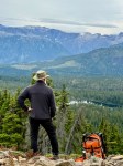
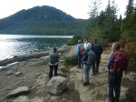
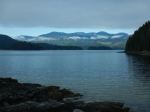
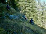
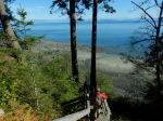
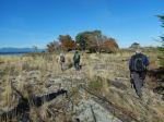
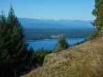
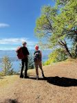
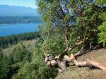
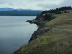
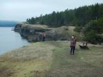
Monday – The weather was again perfect. We took the 9:40 ferry to Hornby and positioned the vehicles for a car shuffle. Starting from Mount Road, we hiked up Middle Bench in the Mt. Geoffrey Escarpment Provincial Park and almost immediately had wonderful views to the west, over Lambert Channel and Denman Island. The gradual climb continued on Outer Ridge up to the summit of Mt. Geoffrey at 330m. But the views are not at the summit, they are along the embankment with the unusual conglomerate geology. We continued on the Cliff Trail in Mt. Geoffrey Regional Park, with views that included the Hornby farmlands and the scenery to the north. We descended the dirt stairs down to Lea Smith Road and took the ferry back to Denman Island for the evening at Fillongley. The trail was very quiet and we encountered only one group of mountain bikers all day. (9.2 km, 3¾ hours, about 300m ascent) Once again the campfire was the social centre and the truly full moon rose over Hornby Island.
-
-
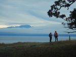
Sunrise
-
-
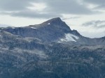
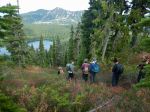
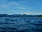
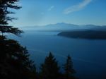
View from Middle Bench
-
-
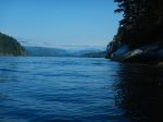
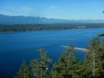
Shingle Spit & Lambert Channel
-
-
-
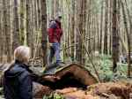
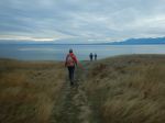
A gradual trail
-
-
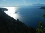
Looking toward Vavncouver Island
-
-
-
Unusual arbutus tree
-

-
Looking southwest
-
-
Looking northwest
-
-
Moon rise
-
-
Campfire social
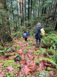
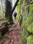
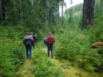
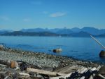
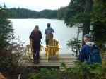
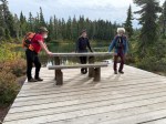
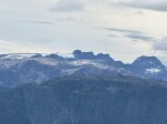
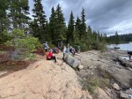
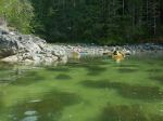
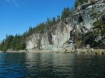
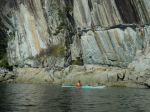
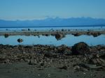
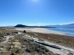
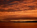
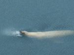
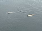
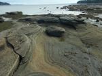
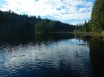
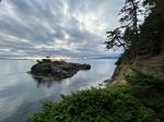
Tuesday – We had a spectacular sunrise, which was followed by significant cloud cover until late in the afternoon. We again returned to Hornby Island on the 9:40 ferry and went to Helliwell Provincial Park to walk the south-facing bluffs. The views are great and the cliff formations from conglomerate are fascinating. We walked north to the park boundary and then followed the trail loop counterclockwise. There were sea lions swimming below the cliffs and in a colony on nearby Flora Island. (5.4 km, 1¾ hours). After visiting the Hornby Coop Store, which is an amazing source of anything that you might need, we continued on to Tribune Bay for lunch and to enjoy the fine sand and the scenery. After a quick visit to Little Tribune Bay, there were a variety of short explorations before returning to Denman for the evening. Regrettably, we did not have time or tide to explore the rock formations at Heron Rock and elsewhere. Back on Denman, a few in the group went to explore the Lindsay Dickson Nature Reserve and Graham Lake, which were both worth the visit. (2.9 km, 1h)
-
-
Sunrise from Denman
-

-
The end of the sunrise
-
-
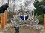
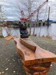
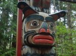
K’ómoks Guardian Pole
-
-
-
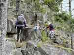
Bluffs at Helliwell Prov Park
-
-
-
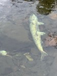
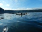
Sea Lion
-
-
-
-
-
Tribune Bay
-

-
-
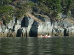
Sandstone at Little Tribune Bay
-
-
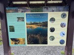
Lindsay Dickson Nature Reserve
-
-
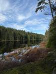
Graham Lake
-
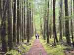
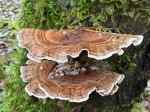
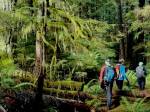
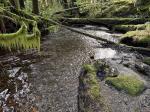
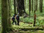
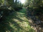
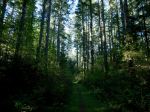
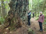
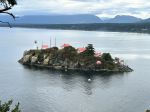
Wednesday: For most of us, this was a short and cloudy day. A group hiked the eastern shore in Boyle Point Provincial Park to see Eagle Rock and the view of the Chrome Island lighthouse. This was a gentle walk through a fine forest. (2.9 km, 1h)
-
-
-
Chrome Island lighthouse
We then headed home after a great trip with an amazing variety of hikes and scenery.
Debbie
Thanks to Jim, Louise, and Norris for the photos
Multi-day Hiking – Denman & Hornby – 5-8 Oct 2025