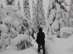
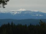
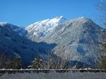
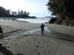
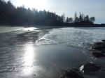
On Monday, eight of us drove out to Ucluelet on a beautiful sunny day. The road through the mountains along Highway 4 was lovely with snow. After dropping off our gear at the vacation rental we had an afternoon walk in the remaining sun. We walked into the Pacific Rim National Park and explored Half Moon and Florencia Bays. The stairs down to the beaches are steep and there was occasional snow along the way and ice on the steps. The firm sand was great to walk on and the sunny views were great. (9.9 km; 3 h) Some of the group explored Ucluelet before dinner. We had an amazing dinner followed by a song circle. The big four bedroom house slowly warmed up with the furnace and big woodstove.
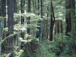
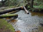
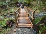
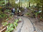
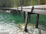
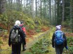
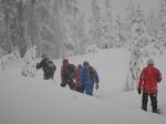
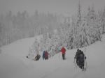
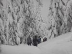
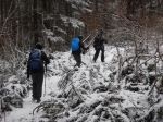
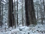
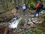
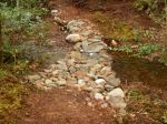
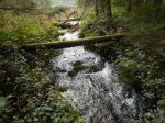
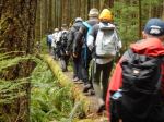
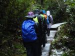
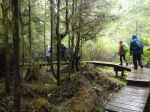
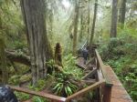
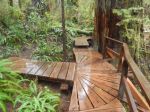
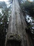
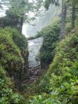
On Tuesday we went again to the National Park. We had hard, cold rain all day. It was cold comfort that it was snowing back on Quadra. We hiked to the north end of Florencia Bay and on to South Beach following the Nuu-chah-nulth Trail. The forest was beautiful, but the ice on the boardwalk was thick and extensive. It was a slow walk. We stopped for lunch on a covered walkway at the Wickaninnish Centre (which was closed). We looped back to the car along the road, taking time to explore the very interesting Bog Trail. About half the group continued on to hike the Rainforest Loop, with amazing boardwalk through old growth forest. (10.9 km; 4¼ h) We had another wonderful dinner, played games and socialized by the fire.
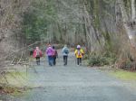
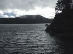
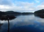
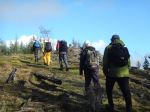
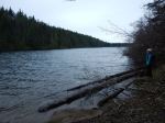
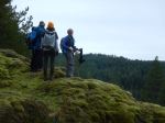
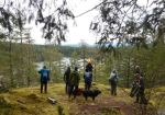
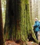
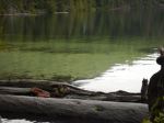
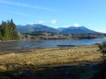
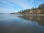
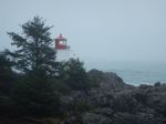
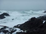
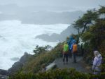
On Wednesday morning we were greeted by Trumpeter swans on the inlet in front of the house. The weather moderated to a warm mist. We hiked two loops along the Wild Pacific Trail at Ucluelet. We started with the lighthouse loop, enjoying the dramatic rock bluffs and waves. We stopped for lunch at the picnic area at Big Beach and then continued on to a loop further north including the Artist Loop, the Rocky Bluffs and the Ancient forest. (10.4 km; 4¾ h) These are beautifully constructed and maintained trails with exceptional views. This last night we ate out, which was memorable.
Thursday brought more rain and the return trip to Quadra was made slower by the road closure on Highway 4. We had a great group visiting an extraordinary part of the world. The weather was a challenge, but it was still beautiful and it kept down the crowds.
Debbie
(click on photos to enlarge)
-
-
-
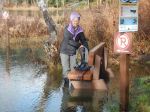
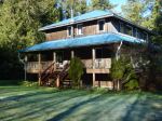
Our vacation rental
-
-
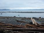
The view from the house
-

-
The living room
-
-
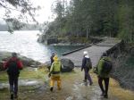
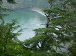
Half Moon Bay
-
-
Half Moon Bay
-
-
Florencia Bay
-
-
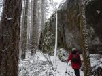
Nuu-hah-nulth Trail
-
-
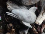
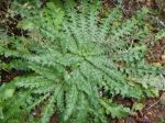
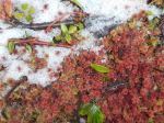
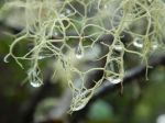
Sphagnum moss in snow
-
-
-
-
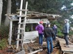
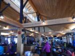
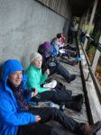
Lunch at Wickaninnish Centre
-
-
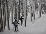
The Rainforest walk
-
-
-
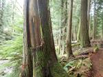
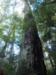
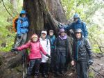
Old Growth Cedar
-

-
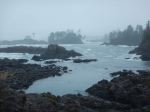
The view in mist
-
-
Amphritrite Light House
-
-
-
-
-
Terrace Beach
-

-
-
Multi-day Hiking – Ucluelet-Tofino – 3-6 Feb 2020