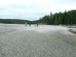
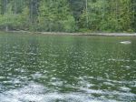
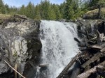
We had moved this hike from Wednesday to Thursday due to the heavy rainfall forecast, which didn’t come until afternoon, but it really poured so we were glad that we had.
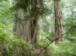
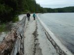
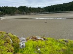
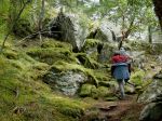
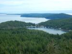
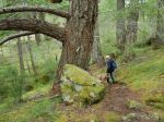
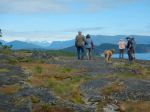
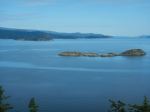
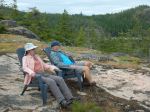
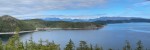
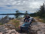
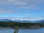
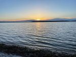
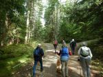
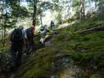
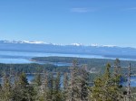
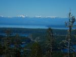
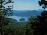
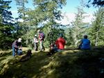
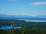
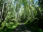
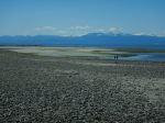
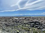
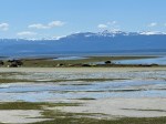
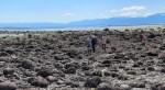
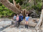
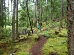
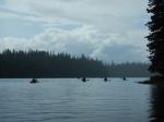
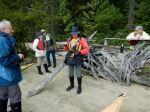
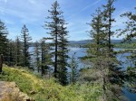
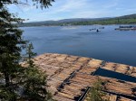
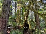
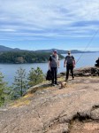
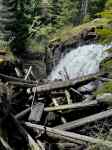
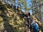
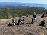
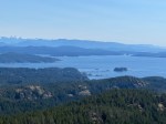
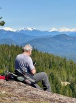
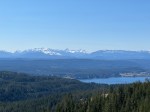
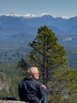
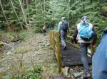
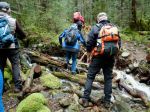
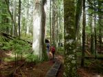
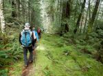
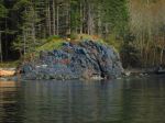
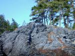
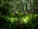
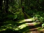
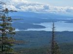
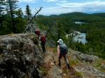
Five hikers left at 9:30 in the morning from the Granite Bay Road to hike to Mount Seymour. The large ferns on the start of the trail were very wet from the rainfall the night before, but the trail was in good shape. It was a cool pleasant morning with clouds and sunshine that made the moss very photogenic. We briefly stopped to admire the Nugedzi Lakes and could see huge thunder heads to the west toward Gold River. We continued our ascent and stopped on top by the large rock cairn to enjoy lunch and the views. There was a small breeze, but the sunshine had warmed up the rocks, so it was a very pleasant time on top of the highest point on Quadra Island. After this, we went to the viewpoint looking out over Browns Bay and then to the second peak with the view to the north.
We then descended down, following the same path, to the fork that goes to Nugedzi Lake. Because it looked like the thunder heads were coming toward us we decided not to carry on to the Nugedzi view point and we went back down the same route to the vehicles.
8 km, 4 1/2 hours and 500 m total ascent to 612 m elevation.
Les
Thanks to Les and Norris for the photos.
(click on photos to enlarge)
-
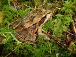
- Norther Red-Legged Frog
-
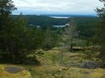
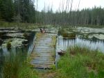
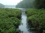
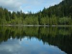
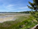
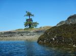
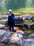
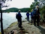
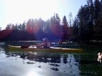
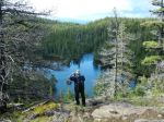
- Little Nugedzi Lake
-
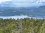
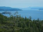
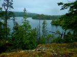
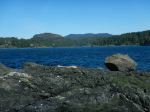
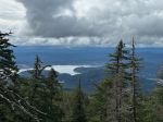
- View towards Browns Bay

-
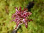
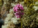
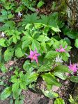
- Coralroot orchid
-
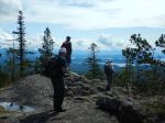
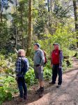
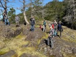
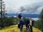
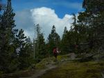
- Arriving at the summit
-
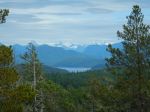
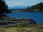
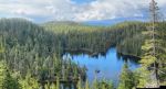
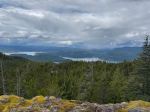
- View SE from summit

-
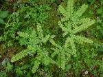
- Maidenhair fern