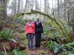
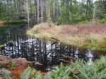
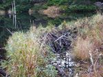
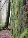
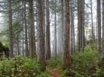
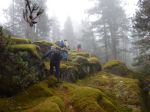
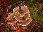
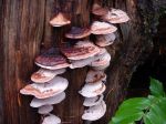
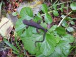
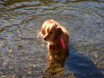
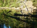
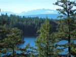
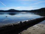
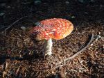
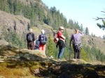
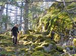
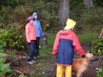
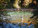
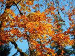
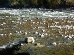
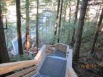
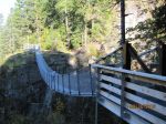
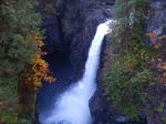
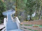
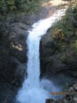
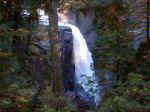
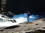
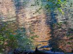
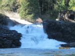
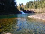
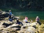
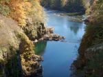
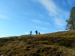
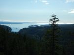
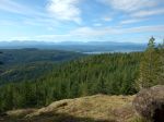
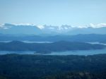
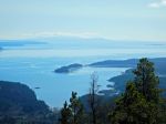
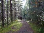
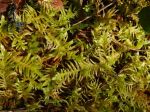
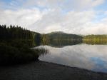
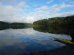
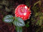
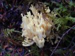
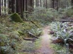
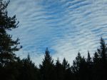
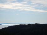
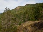
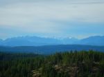
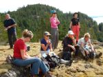
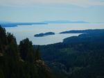
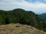
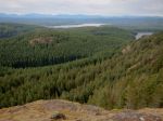
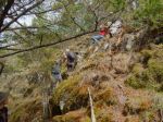
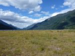
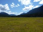
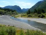
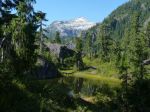
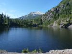
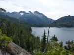
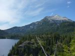
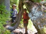
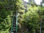
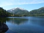
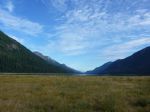
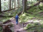
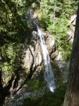
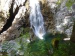
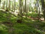
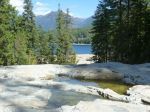
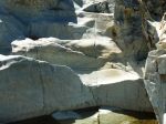
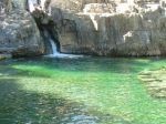
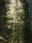
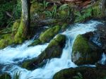
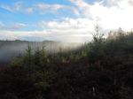
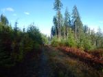
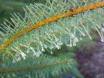
On Tuesday, Dec. 8, 2015, three intrepid hikers (Valerie, Norris, and Julie and one dog, Briar) braved the latest storm cycle to explore some of the logging roads in the Open Bay area. Starting point was the junction of Granite Bay Road and Village Bay Lakes Road. A short walk eastward on the old logging road across from the Granite Bay Road, led to (locally named) Beaver Lake, a popular skating destination, now overflowing its banks due to the recent heavy rains. We noted that this lake would make an ideal swim/picnic stop in summer. A flagged route on the east end of the lake beckoned, and we bushwhacked along the route through mature forest for about 45 minutes to reach an impassible creek and waterfalls. As we navigated the wet forests and huge mud puddles, we were rewarded with mild temperatures and the sun peeking through the rising mists. A wider, cut trail led north away from the creek, which led us to a logging road and a reforested clearcut. We followed this road northwards, paralleling the Gravel Pit hill on Village Bay Lakes Road to the west of us. We then turned onto Village Bay Lakes Road and slogged uphill to our cars, completing a two hour excursion. Julie’s shortbread treats for our morning’s efforts were much appreciated. There are many more logging roads in the area to explore which would make good winter (low level) hikes, and Norris noted another flagged route for future outings.
Valerie
-
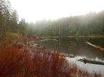
- “BeaverLake”


(click on photos to view larger)