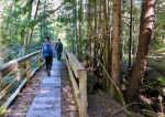
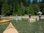
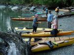
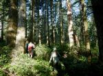
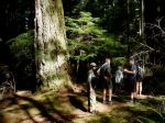
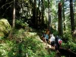
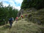
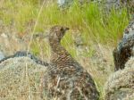
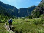
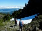
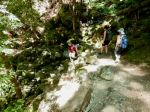
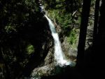
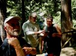
Day 1: There were six of us for the hikes to the Upper and Lower Myra Falls in Strathcona Provincial Park. We had a beautiful, but very warm day, and enjoyed the drive out along the Upper Campbell and Buttle Lakes. We started hiking at 11:30 and made our way along the well maintained trail through a mature forest and occasionally large boulders, arriving at the Upper Falls within an hour. The falls had lots of water pouring through. We had lunch near the end of the trail and then headed back down. (7.4 km; 1.5 hours; 220m elevation gain)
(Click on photos to enlarge)
-
-
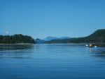
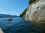
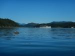
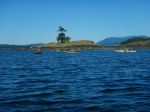
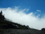
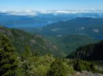
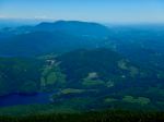
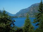
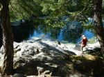
Upper Campbell Lake
-
-
-
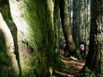
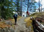
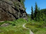
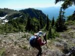
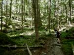
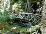
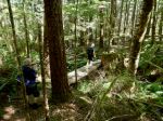
Trail to Upper Myra Falls
-
-
-
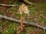
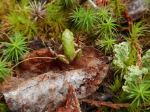
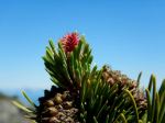
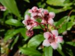
Pink Wintergreen
-
-
-
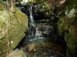
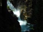
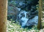
Upper Myra Falls
-
-
-
-
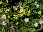
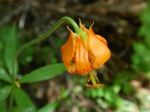
Columbia Lily
-
-
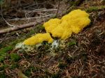
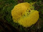
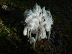
Dog-vomit slime mold
-
-
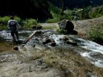
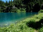
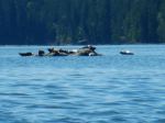
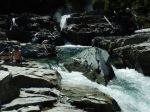
Myra Creek
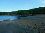
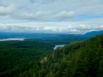
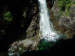
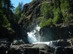
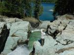
We drove a short way to the Lower Myra Falls parking area. The hot weather made this a popular and busy destination. We walked down to the viewpoint and then out to the falls. While we had seen no one on the Upper Falls trail, there were lots of people here. These falls are more accessible and very beautiful, but completely different from the upper falls, with a series of smaller cascades and wide open rocks to get close to the water. We left without swimming. (1.4 km; 0.75 hours; 60m elevation gain)
-
-
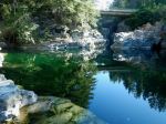
Lower Myra Falls from the viewpoint
-

-
-
-
-
-
-
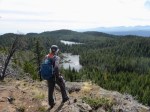
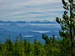
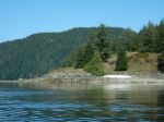
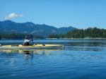
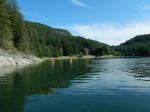
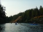
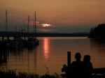
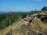
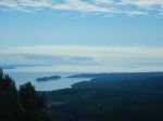
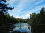
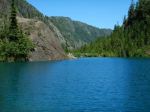
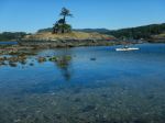
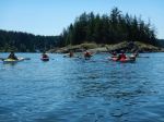
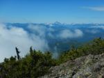
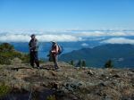
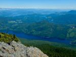
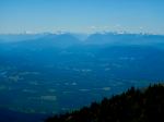
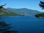
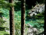
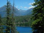
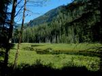
View across Buttle Lake
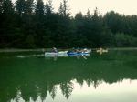
Four of us continued on to Gold River and set up camp at three neighbouring sites along the Gold River. It was lovely, shaded and peaceful.
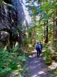
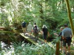
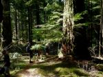
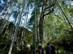
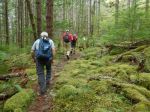
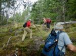
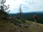
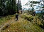
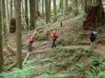
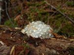
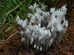
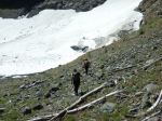
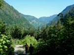
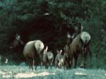
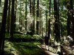
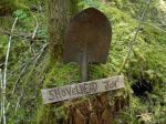
Day 2: We had an intentionally leisurely start and some of us explored the trails from the campground along the river in the early morning. We began hiking around Antler Lake shortly after 10:00 on an even hotter day than Monday. This well-constructed trail has quite a lot of variety with lake views, boulder fields, quirky trail decorations and truly impressive old growth trees. We took our time to appreciate all that it had to offer. (4.3 km; 1.75 hours; 100m)
-
-
Ghost pipes
-

-
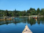
The Gold River
-
-
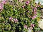
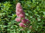
Douglas spirea
-
-
-
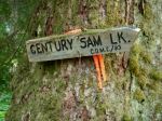
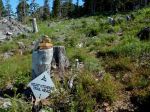
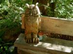
Trail marker
-
-
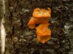
Orange tree fungus
-
-
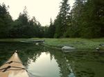
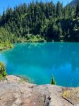
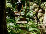
Antler Lake wetlands
-
-
-
Zoe’s bench
-
-
-
-
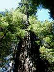
Big Douglas fir
-
-
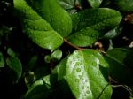
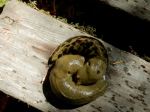
Slug cuddle
-
-
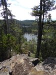
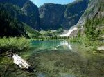
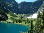
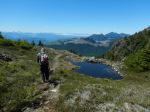
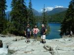
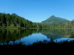
Antler Lake
-
-
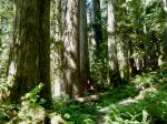
Old-growth trees
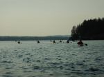
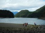
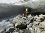
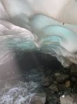
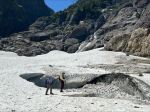
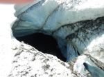
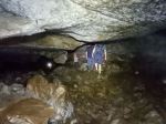
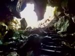
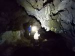
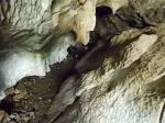
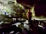
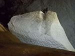
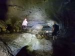
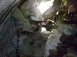
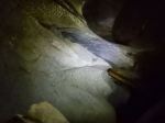
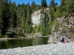
We had lunch at a picnic area by Antler Lake and then drove out to the Upana Caves stopping at the Cala Creek Falls for the view. There are fives caves in the Upana Cave system. The trails between them are quite short. The maps are very interesting, but not always easy to visualize once you are in the cave. We visited all the caves, but did not have the enthusiasm for slithering in the mud or getting very wet. We missed some of the loops in the caves inadvertently. (0.8 km; 1.75 hours) It was 33° C on the drive back to Gold River and we were happy for our shaded campsites. There was some exploration to a swimming area on the Gold River in Peppercorn Park, used by locals.
-
-
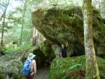
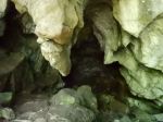
Main Cave
-
-
-
-
-
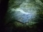
Corner Cave
-
-
-
Resurgence Cave
-
-
-
-
-
-
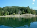
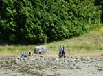
Swimming beach on the Gold Rvier
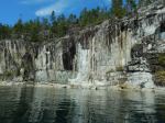
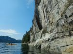
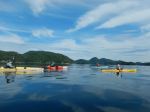
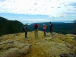
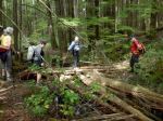
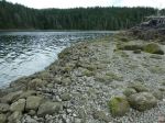
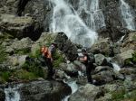
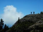
Day 3 – We mostly headed home, but three of us hiked the short walk from the Gold River bridge to the junction with the Heber River and up along the Heber Gorge, which is quite impressive. The trail is unmaintained, but has a chainlink fence along much of the way where the trail is narrow and exposed. (2.9 km; 1.25 hours; 85m elevation gain) On the way home we stopped for photos on the Upper Campbell Lake and for lunch at the Echo Lake Rec Site.
-
-
-
Heber River
-
-
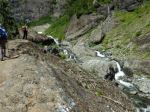
Heber River Gorge
-
-
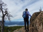
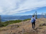
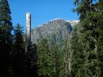
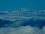
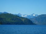
Elkhorn and King Peaks
-
-
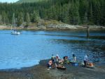
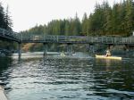
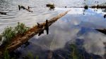
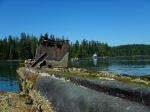
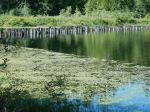
Old trestle at Echo Lake Rec site
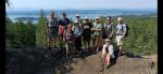
There was at least one new area to explore for everyone that came on this trip. The weather was photogenic, if hot, and there was great variety with the varied falls, the lakes, beautiful forests and fascinating caves. There is lots to explore near to us on Vancouver Island.
Debbie
Multi-day Hiking, Camping – Gold River area – 15-17 July 2024