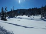
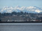
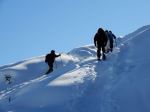
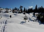
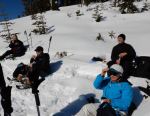
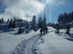
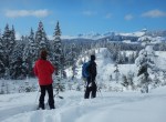
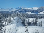
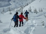
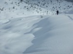
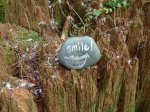
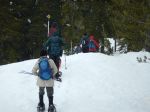
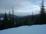
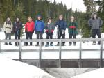
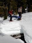
This was our last scheduled trip to Mt. Washington for the season. On this first day of spring, the weather was very warm, up to 14°C on the hill. Five of us snowshoed under absolutely clear skies and the snow was better than expected considering the heat. Terry lead us up the Great Big View trail and on to Finger Glades, with wonderful views of the Vancouver Island mountains. We stopped for lunch near the high point of the trail before making our way back down to the vehicles. 184m elevation gain; 5.6 km; about 3½ hours.
Debbie
(click on photos to view larger)
-
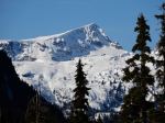
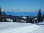
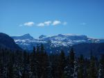
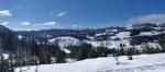
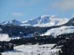
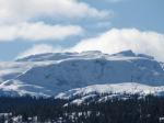
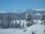
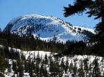
- Mt. Albert Edward
-
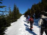
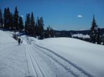
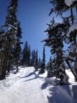
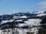
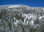
- Great Big View trail
-
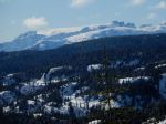
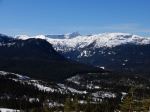
- Rees Ridge
-
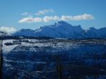
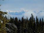
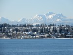
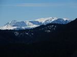
- Albert Edward & Jutland

-

- Mt. Alexandra
-
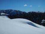
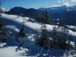
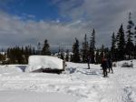
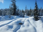
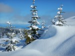
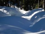
- Still lots of snow
-
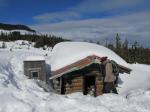
- Mt. Washington summit
-
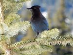
- Steller Jay
-
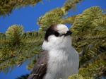
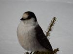
- Gray Jay