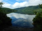
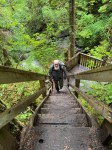
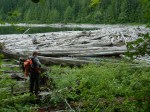
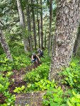
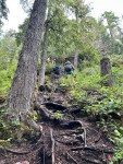
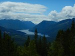
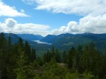
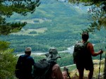
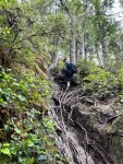
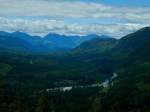
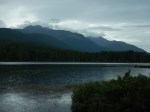
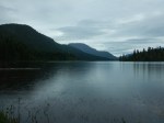
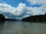
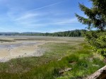
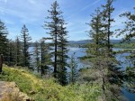
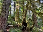
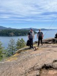
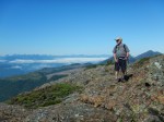
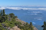
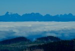
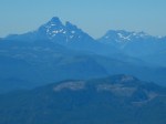
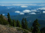
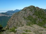
Because of the hot weather, we decided on an early start. We caught the 7am ferry and drove to the Big Tree turnoff, then up the logging road to the trailhead. We started hiking at 9 am. The first half hour is a well-worn trail up through the forest, with some blow-down at the edge of the clear cut. Then there is a rock band, with a short scrambling section. From then on, it’s all open terrain, alpine or sub-alpine with amazing views. We decided to do Mt. Kitchener first. We had an early lunch and lingered there. Initially there were clouds in the valleys to the north, and it gradually cleared. Other than that, clear and cloudless, with some haze to the south. We were amazed that we could see whitecaps in Johnstone Strait, more than 1,400 metres below us. and Mt. Waddington, about 125 km to the north. After that we visited Mt. McCreight, and then descended to the vehicles.
(4.3 km; 5 hours; 450 m elevation gain)
Norris
Thanks to Les and Norris for the photos
(click on photos to view larger)
-
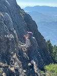
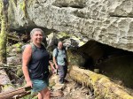
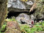
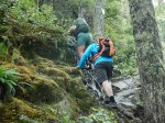
- Short, steep section

-
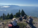
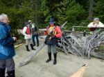
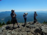
- Break at the first viewpoint

-
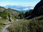
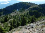
- Undulating sub-alpine

-

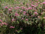
- Penstemon
-

- Up to Mt. Kitchener

-
- View north
-
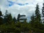
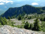
- Mt. McCreight
-
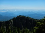
- Vancouver Island Mountains
-
- Victoria Peak
-
- View northeast
-
- Peak northwest of Kitchener
-

- View northeast
-
- View east
-
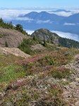
- Heather
-
- On the descent…
-
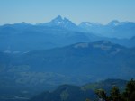
- Victoria Peak
-
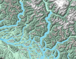
- Map of the view