| Activity | Hiking |
| Destination | Forbidden Plateau Loop, Strathcona Park |
| Date | 18 Sept, Wednesday |
| Trip Coordinator | Louise Squire |
| Contact Info | lsquire@sasktel.net |
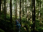
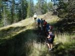
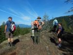
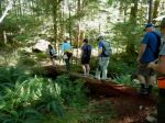
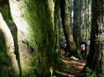
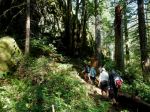
| Description | Due to longer hike, we will be meeting at the Q-Cove parking lot to ensure we are on the 8:30am ferry to travel Mt Washington. We will be starting at Raven Lodge. While there are actually three potential loops, we will be taking the larger loop through Paradise Meadows, past Battleship Lake and carrying on past Croteau Lake and eventually making our way around Kwai Lake and back to Raven Lodge. September should be a beautiful time to enjoy the lower temperatures and fall colours. There will be 2 or 3 km to the west of Helen Mackenzie Lake that will be harder, so the decision of which way we decide to complete the loop will be finalized once we have arrived. Bring lots of water and a lunch and snack as the trip will be about 6-7 hours, plus driving time and 18km. |
| Meeting Place | Q Cover Ferry Terminal |
| Departure Time | 8:30 am ferry departure time |
| Difficulty |
Moderate for long day and elevation |
| Costs | Ferry costs and shared fuel |
| Trip limits | 10 |
| Dogs? | No |
| Notes: | Car pooling to be organized in advance to limit vehicles and costs. Please let me know if you will be driving or if you would like to carpool with someone else. This trip is weather dependent. |
Hiking – Forbidden Plateau Loop – 18 Sept 2024
1